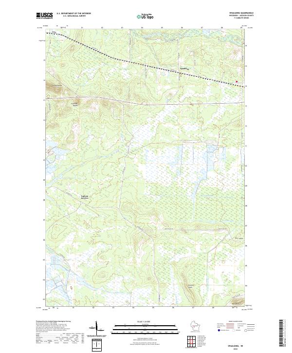
2022 Map of Spaulding
USGS Topo · Published 2022About this map
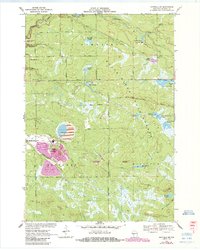
Saddle Mound and Sugarloaf Mound rise above a landscape of low-lying wetlands and drainage networks in this Jackson County region. The topography is defined by the East Fork Black River in the north and an intricate system of man-made channels including N Floater Ditch, S Floater Ditch, and Goodyear Ditch further south. These features suggest a history of water management for agricultural or industrial use in the marshy terrain. Small communities like Pray and Spaulding serve as anchors along the historic Old Hwy 54, while Lapham Junction marks a notable point of convergence for local travel. In the southern reaches, isolated rises such as Drescher Island and Bear Bluff stand out among the winding paths of McKenna Creek and Hunters Peak Ditch.
Find a feature on this map
36 named features on this map. Tap any name to fly to it.
Don’t see what you’re looking for? This feature index may not catch every label — zoom into the map to look around manually.
Map Details
Editions of this 2022 Spaulding Map
This is the sole edition of this map. No revisions or reprints were ever made.
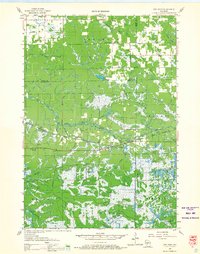
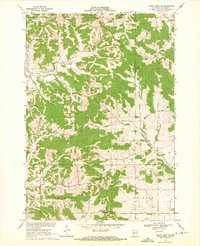
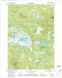
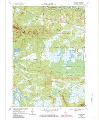
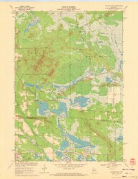
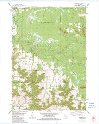
Historical Maps of Jackson County Through Time
21 maps found

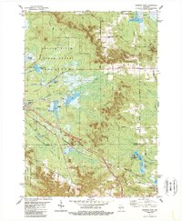
1926 North Bend
Jackson County, WI

1929 North Bend
Jackson County, WI
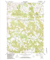
1957 City Point
Jackson County, WI
1969 North Bend NE
Jackson County, WI
1970 Hatfield SE
Jackson County, WI
1970 Hatfield SW
Jackson County, WI
1970 Spaulding
Jackson County, WI
1970 Warrens East
Jackson County, WI
1983 Shamrock
Jackson County, WI
1983 Warrens West
Jackson County, WI
1984 Price
Jackson County, WI

1984 Stenulson Coulee
Jackson County, WI
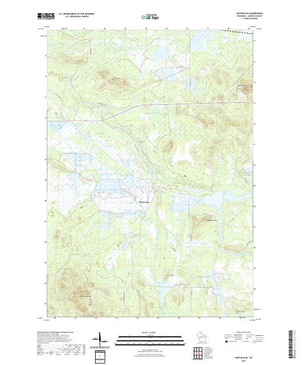
2022 Hatfield SE
Jackson County, WI
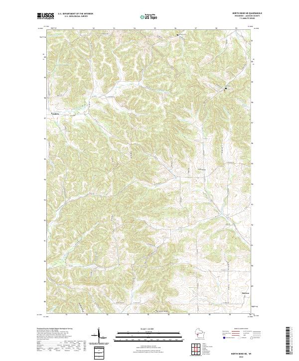
2022 North Bend NE
Jackson County, WI
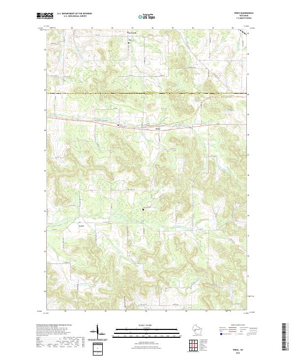
2022 Price
Jackson County, WI
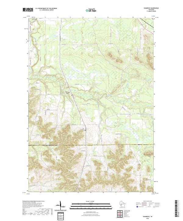
2022 Shamrock
Jackson County, WI
2022 Spaulding
Jackson County, WI
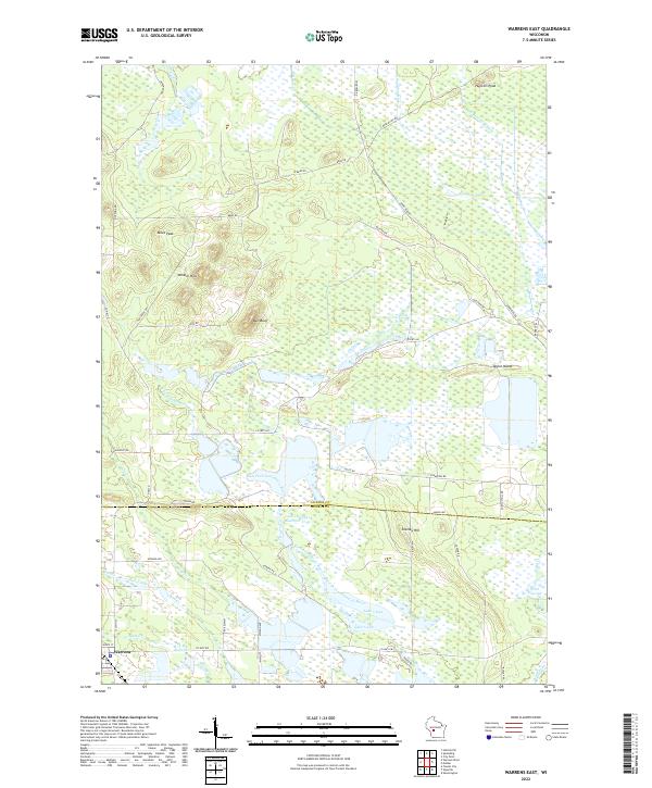
2022 Warrens East
Jackson County, WI
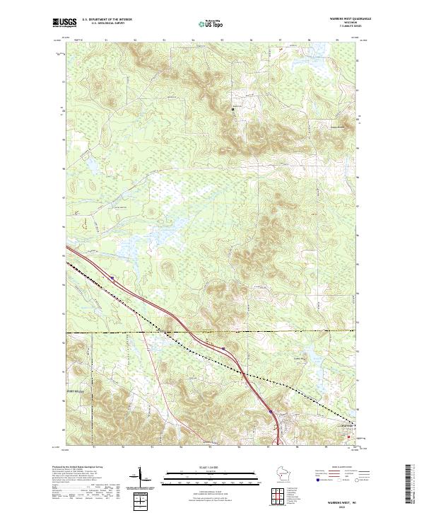
2022 Warrens West
Jackson County, WI
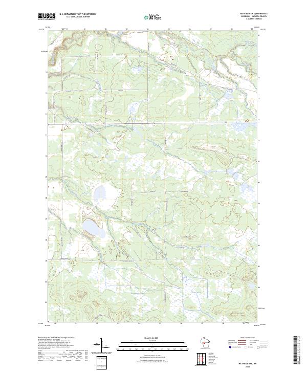
2023 Hatfield SW
Jackson County, WI
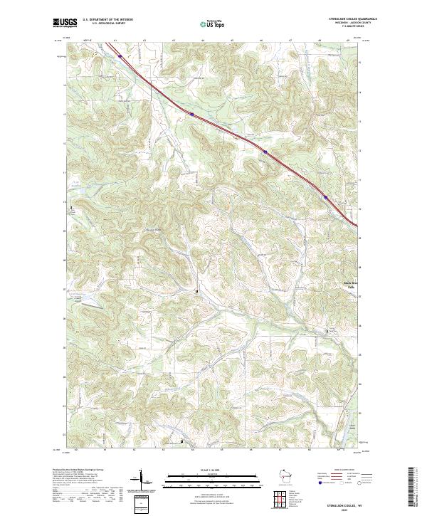
2023 Stenulson Coulee
Jackson County, WI