2000s (21st Century) Maps of New Lyme, Wisconsin
Explore 20 historic maps of New Lyme from the 2000s (21st Century). These maps offer a rare glimpse into what life looked like during the 2000s — showing old roads, neighborhoods, homes, and landmarks that have changed or disappeared over time.
Whether you're researching your family's past, planning a metal detecting trip, or studying how New Lyme's landscape evolved across the 2000s, these high-resolution maps are a powerful tool for exploring the history of this region.
- Focus on a specific era: All maps on this page are from the 2000s, giving you a focused view of this time period.
- See what’s changed: Compare century-old streets, trails, and buildings to today's modern landscape using overlays and satellite layers.
- Research with precision: Use these maps for genealogy, historical research, land use analysis, or educational projects.
- View, download, or print: Maps are fully viewable online in high resolution, and can be downloaded or printed for your own records.
Start exploring New Lyme's history through authentic maps from the 2000s. This is your window into the past.
New Lyme, WI maps
(20)- 2010 Map of Shamrock, 2010 Print
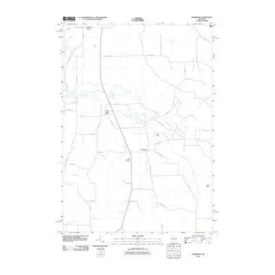 2010 Shamrock2010 Print · USGSWisconsin's rural Jackson County is captured here at the start of the 2010s, centered on the historic crossroads of Shamrock. Local researchers can locate Saint Columkille Cemetery and trace the winding waters of Robinson Creek past the landmark Fall Hall Glen.
 - 2010 Map of Millston, 2010 Print
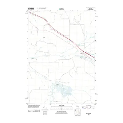 2010 Millston2010 Print · USGSJackson County at the start of the decade reveals a landscape shaped by water and woods near Millston. Genealogists and historians can trace local landmarks like Brookside Cemetery and the Oak Ridge Fire Tower or locate the settlement at Lees Crossing.
 - 2010 Map of Cataract, 2010 Print
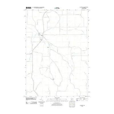 2010 Cataract2010 Print · USGSMonroe County's rural valleys and small-town center are captured here in the decade following the millennium. Genealogists and local historians can locate Carr Cemetery and trace the drainage of Jenkins Valley Creek near the Cataract Lookout Tower.
 - 2010 Map of Alderwood Lake, 2010 Print
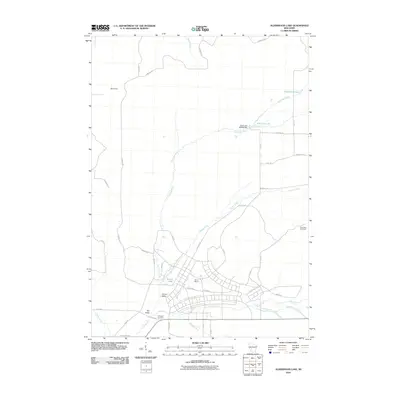 2010 Alderwood Lake2010 Print · USGSMonroe County was defined by its military and river geography in the early twenty-first century. Genealogists and historians can trace the bounds of Camp McCoy and locate family landmarks like Lafayette Cemetery or the settlement of Lemon Valley.
 - 2013 Map of Millston, 2013 Print
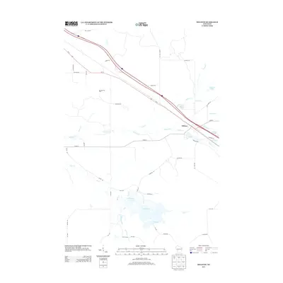 2013 Millston2013 Print · USGSJackson County in the early twenty-first century remains a landscape of managed wetlands and quiet rural crossroads. Trace the waterways and local routes surrounding Millston, from the Oak Ridge Fire Tower to the waters of Robinson Pond and Sharptail Flowage.
 - 2013 Map of Alderwood Lake, 2013 Print
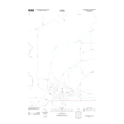 2013 Alderwood Lake2013 Print · USGSMonroe County was undergoing steady development in the early 2010s, particularly around the military installations of Camp McCoy. Researchers can trace the complex road networks around Lemon Valley and find landmarks like the Greenfield Fire Tower.
 - 2013 Map of Cataract, 2013 Print
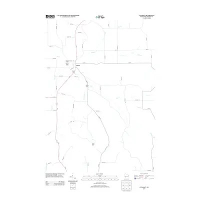 2013 Cataract2013 Print · USGSThe community of Cataract sits at the heart of this Monroe County landscape in the early twenty-first century. Researchers can trace local history through named geographic features like Welsh Valley, the Cataract Lookout Tower, and the winding course of Rathbone Cr.
 - 2013 Map of Shamrock, 2013 Print
 2013 Shamrock2013 Print · USGSWisconsin's Jackson County interior is shown in the early twenty-first century, featuring the rural intersection at Shamrock. Local historians can trace family land and geographic landmarks including Irish Valley, Fall Hall Glen, and the Black River Falls Area Airport.
 - 2015 Map of Alderwood Lake, 2015 Print
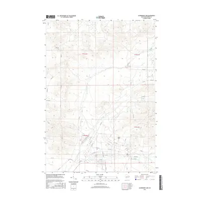 2015 Alderwood Lake2015 Print · USGSMonroe County in the mid-2010s shows a landscape of river valleys and small settlements. Genealogists and historians can trace the La Crosse River drainage while locating Lafayette Cem and the Lemon Valley community.
 - 2015 Map of Cataract, 2015 Print
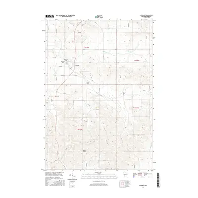 2015 Cataract2015 Print · USGSMonroe County's driftless terrain is captured here in the mid-2010s, centered on the settlement of Cataract. Genealogists and local historians can trace family roots through sites like Oak Grove Cem or follow the deep basins of Welsh Valley and Bowler Valley.
 - 2015 Map of Millston, 2015 Print
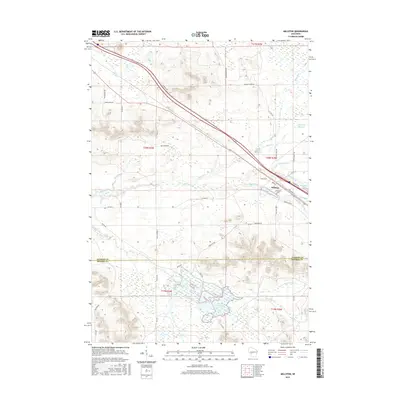 2015 Millston2015 Print · USGSMillston and the surrounding Jackson County wetlands are captured here in the early twenty-first century. Genealogists and local researchers can trace family landmarks like Brookside Cem and the complex waters of Robinson Cr and North Flowage.
 - 2015 Map of Shamrock, 2015 Print
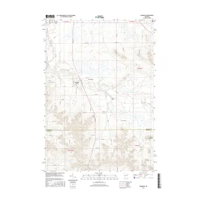 2015 Shamrock2015 Print · USGSWisconsin's rural interior comes into focus during the mid-2010s as it straddles the Jackson and Monroe county line. Local historians can trace family-named roads and landmarks like Saint Columkille Cem, Irish Valley, and the small settlement of Shamrock.
 - 2018 Map of Cataract, 2018 Print
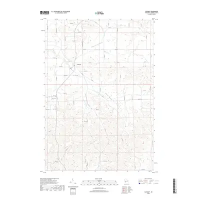 2018 Cataract2018 Print · USGSMonroe County, Wisconsin, is revealed here in its modern rural character, defined by deep valleys and upland ridges. Researchers can pinpoint Cataract and local burial grounds like Oak Grove Cem and Carr Cem amidst the hills of Daneville Valley.
 - 2018 Map of Alderwood Lake, 2018 Print
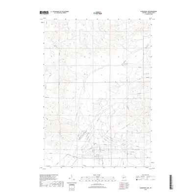 2018 Alderwood Lake2018 Print · USGSMonroe County’s driftless-area topography is on full display in this modern era survey of the Grant area. Researchers can pinpoint the Lafayette Cem or trace the winding courses of the La Crosse River and Stillwell Cr.
 - 2018 Map of Shamrock, 2018 Print
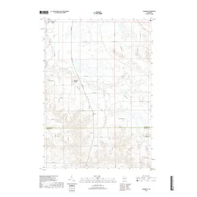 2018 Shamrock2018 Print · USGSJackson and Monroe Counties come alive in this late-period survey of the Wisconsin interior. Genealogists can locate Saint Columbkille Cem and the settlement at Fall Hall Glen among the ridges of Irish Valley.
 - 2018 Map of Millston, 2018 Print
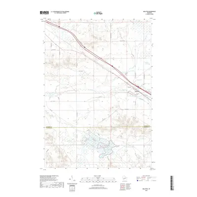 2018 Millston2018 Print · USGSMillston and the surrounding wetlands of Jackson County are documented here in the late twenty-teens. Researchers can trace local lineage at Brookside Cem and explore the vast water systems of the North Flowage and Robinson Cr.
 - 2022 Map of Alderwood Lake, 2022 Print
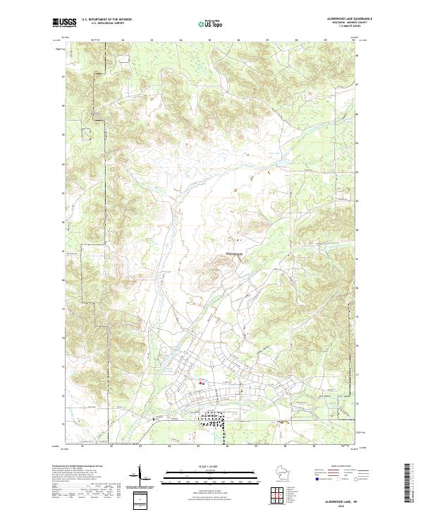 2022 Alderwood Lake2022 Print · USGSMonroe County's waterways and valleys are documented here in the early twenty-first century, showing the land just east of Sparta. Researchers can locate the Lafayette Cem and trace the drainage of the La Crosse River into Alder Lake.
 - 2022 Map of Shamrock, 2022 Print
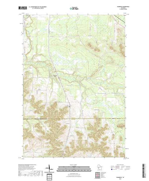 2022 Shamrock2022 Print · USGSThe Jackson and Monroe County borderlands come into focus in this recent survey, showcasing a landscape defined by creeks and bluffs. Genealogists and local historians can locate Saint Columbkille Cem and trace the paths through Fall Hall Glen and Irish Valley.
 - 2022 Map of Cataract, 2022 Print
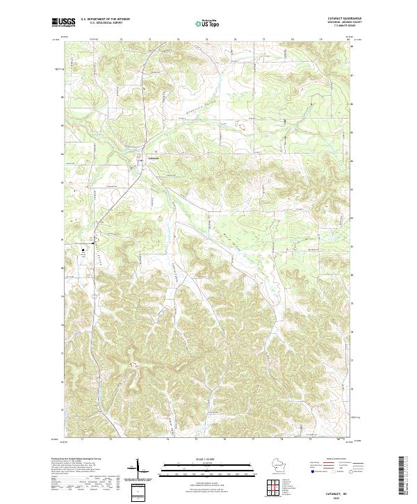 2022 Cataract2022 Print · USGSCataract and the surrounding valleys of Monroe County appear here in fine detail, showing the rural landscape as it exists today. Researchers can locate family landmarks such as Carr Cem and Oak Grove Cem or trace the winding paths of Rathbone Cr and Big Cr.
 - 2022 Map of Millston, 2022 Print
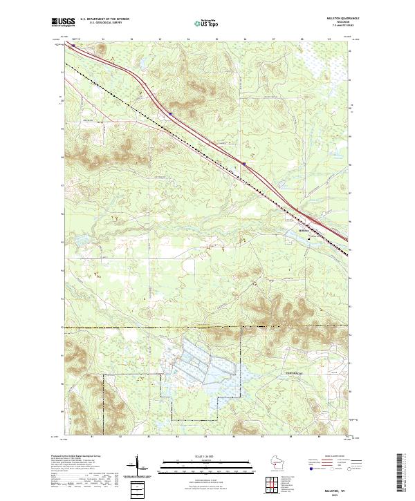 2022 Millston2022 Print · USGSMillston and the surrounding wetlands of Jackson County appear here in the early 2020s, showing a landscape defined by timber roads and flowages. Genealogists and researchers can locate Brookside Cem and trace the paths of Robinson Cr or Wyman Creek through the woods.
End of results
Showing maps 1-20 of 20
Top cities near New Lyme
- Sparta historical maps
- Sparta historical maps
- Tomah historical maps
- Black River Falls historical maps
- Brockway historical maps
- Angelo historical maps
See more
Frequently asked questions
- What are the different types of historical maps available for New Lyme?
- What is the oldest map of New Lyme?
- Where can I purchase historical maps of New Lyme for my home or office?
- Where can I download high-res historical maps of New Lyme?
- Are there historical topographic maps available for New Lyme?
- Is there historical aerial imagery available for New Lyme?
- Where are historical maps of New Lyme sourced from?