Old Maps of Abrams, Wisconsin for Hiking & Exploration
Hike through history with 28 historic maps of Abrams. Explore old trails, ghost towns, and forgotten backroads — perfect for outdoor adventurers and local explorers.
- Rediscover forgotten places: Map out old mining camps, roads, and footpaths that no longer exist on modern maps.
- Layer with modern tools: Combine with LiDAR or satellite views to plan hikes through historical terrain.
- Made for exploration: Popular among hikers, overlanders, and local history lovers.
Use these maps to find adventure and explore the hidden past of Abrams.
Abrams, WI maps
(28)- 1954 Map of Green Bay, 1980 Print
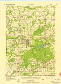
 1954 Green Bay1980 Print · USGSGreen Bay and Brown County are shown during a period of steady mid-century growth and agricultural prominence. Researchers can trace family roots through numerous country schools like White Pine Sch and established cemeteries such as Chase Cem and Peace Cem.
 - 1955 Map of Green Bay, 1968 Print
 1955 Green Bay1968 Print · USGSCentral and Eastern Wisconsin are captured here in the mid-fifties, showing the industrial growth of the Fox Valley and Wisconsin River corridors. Genealogists and historians can trace rail lines like the Green Bay and Western through settlements like Weyauwega, Clintonville, and Pulaski.2 unique versions available
 - 1956 Map of Oconto Falls, 1958 Print
 1956 Oconto Falls1958 Print · USGSOconto County in the mid-fifties is captured here as a landscape of rural school districts and river-based industry. Genealogists can locate family-named landmarks like Dombrowski Lake and Kuplie Lake, or trace rail history at Stiles Junction.3 unique versions available
 - 1974 Map of Abrams, 1977 Print
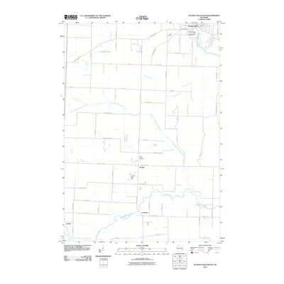
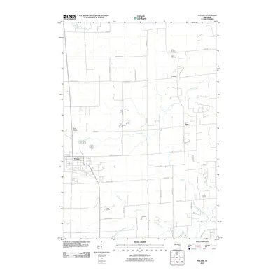
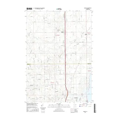
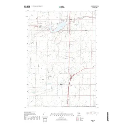
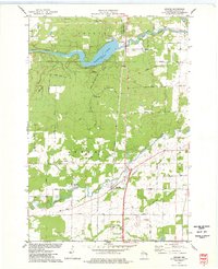 1974 Abrams1977 Print · USGSOconto County in the mid-seventies shows a landscape defined by the Oconto and Pensaukee rivers. Local historians can trace the rail junction at Abrams or find family-named landmarks like Heider Road and the Stiles Lookout Tower.
 - 1974 Map of Oconto Falls South, 1977 Print
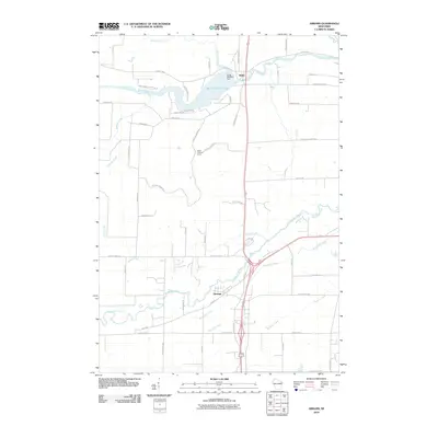
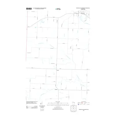
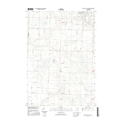
 1974 Oconto Falls South1977 Print · USGSOconto County townships during the mid-seventies show a landscape of winding river systems and traditional rural hubs. Local historians can trace the foundations of the community at St Johns Ch, Degantown Sch, and the riverside settlement of Sampson.
 - 1974 Map of Suamico, 1978 Print
 1974 Suamico1978 Print · USGSCoastal Wisconsin settlements like Little Suamico and Sobieski are shown here as they appeared in the mid-seventies before significant modern expansion. Genealogists can trace family landmarks such as St Benedict Cem, Riverside Cem, and the old rail lines of the Chicago and North Western.
 - 1974 Map of Pulaski, 1978 Print
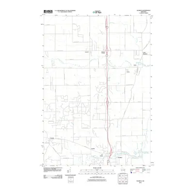
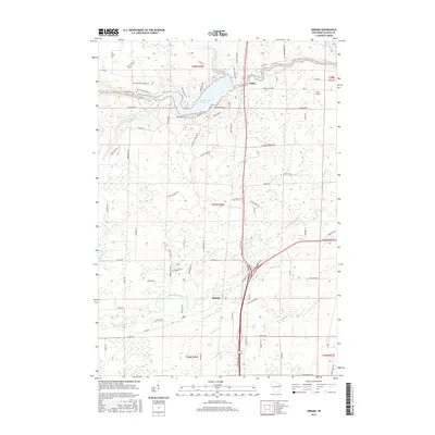
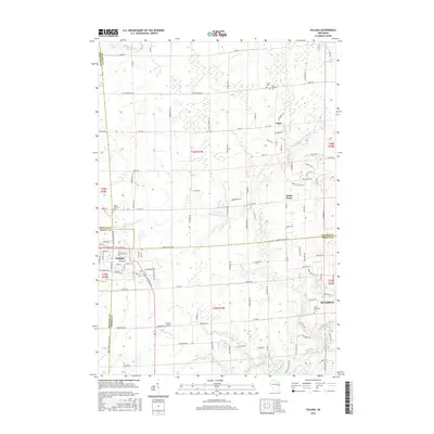
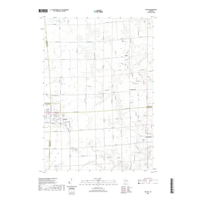
 1974 Pulaski1978 Print · USGSNear the intersection of three counties in the mid-1970s, the village of Pulaski is shown alongside its rail and religious roots. Genealogists can locate family sites at the Franciscan Monastery, St Joseph Cem, and Polish National Cem.
 - 1984 Map of Shawano, 1985 Print
 1984 Shawano1985 Print · USGSNortheast Wisconsin in the mid-1980s was a landscape defined by its indigenous heritage and the bustling trade centers of the Fox and Wolf River valleys. Genealogists and historians can trace rail corridors like the Chicago and North Western or locate family sites near Keshena, Cecil, and the Fort Howard Cem.2 unique versions available
 - 2010 Map of Abrams, 2010 Print
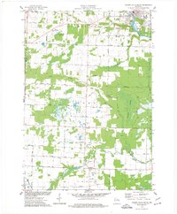
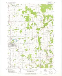
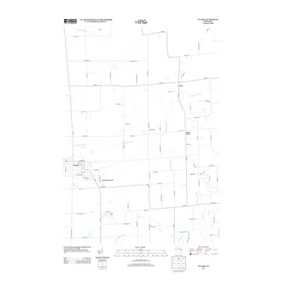
 2010 Abrams2010 Print · USGSCovers Abrams, including Little Suamico, Stiles, and other nearby areas
 - 2010 Map of Oconto Falls South, 2010 Print
 2010 Oconto Falls South2010 Print · USGSCovers Abrams, including Chase, Oconto Falls, and other nearby areas
 - 2010 Map of Suamico, 2010 Print
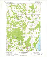
 2010 Suamico2010 Print · USGSCovers Abrams, including Suamico, Little Suamico, and other nearby areas
 - 2010 Map of Pulaski, 2010 Print
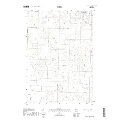
 2010 Pulaski2010 Print · USGSCovers Abrams, including Suamico, Little Suamico, and other nearby areas
 - 2013 Map of Oconto Falls South, 2013 Print
 2013 Oconto Falls South2013 Print · USGSCovers Abrams, including Chase, Oconto Falls, and other nearby areas
 - 2013 Map of Suamico, 2013 Print
 2013 Suamico2013 Print · USGSCovers Abrams, including Suamico, Little Suamico, and other nearby areas
 - 2013 Map of Abrams, 2013 Print
 2013 Abrams2013 Print · USGSCovers Abrams, including Little Suamico, Stiles, and other nearby areas
 - 2013 Map of Pulaski, 2013 Print
 2013 Pulaski2013 Print · USGSCovers Abrams, including Suamico, Little Suamico, and other nearby areas
 - 2016 Map of Suamico, 2016 Print
 2016 Suamico2016 Print · USGSCovers Abrams, including Suamico, Little Suamico, and other nearby areas
 - 2016 Map of Oconto Falls South, 2016 Print
 2016 Oconto Falls South2016 Print · USGSCovers Abrams, including Chase, Oconto Falls, and other nearby areas
 - 2016 Map of Abrams, 2016 Print
 2016 Abrams2016 Print · USGSCovers Abrams, including Little Suamico, Stiles, and other nearby areas
 - 2016 Map of Pulaski, 2016 Print
 2016 Pulaski2016 Print · USGSCovers Abrams, including Suamico, Little Suamico, and other nearby areas
 - 2018 Map of Oconto Falls South, 2018 Print
 2018 Oconto Falls South2018 Print · USGSCovers Abrams, including Chase, Oconto Falls, and other nearby areas
 - 2018 Map of Abrams, 2018 Print
 2018 Abrams2018 Print · USGSCovers Abrams, including Little Suamico, Stiles, and other nearby areas
 - 2018 Map of Suamico, 2018 Print
 2018 Suamico2018 Print · USGSCovers Abrams, including Suamico, Little Suamico, and other nearby areas
 - 2018 Map of Pulaski, 2018 Print
 2018 Pulaski2018 Print · USGSCovers Abrams, including Suamico, Little Suamico, and other nearby areas
 - 2022 Map of Pulaski, 2022 Print
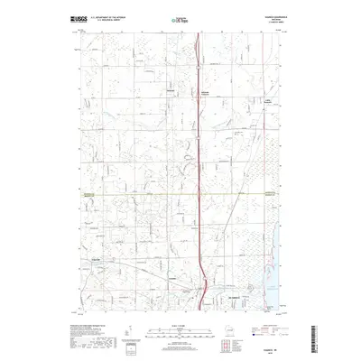
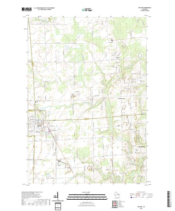 2022 Pulaski2022 Print · USGSThe village of Pulaski and its surrounding townships are shown here as they transition into the twenty-first century. Genealogists and local historians can trace burial sites at Saint Joseph Cem and North Pittsfield Cem or follow the paths of the Little Suamico and Pensaukee River.
Showing maps 1-25 of 28
Top cities near Abrams
- Howard historical maps
- Suamico historical maps
- Oconto historical maps
- Little Suamico historical maps
- Pulaski historical maps
- Chase historical maps
See more
Frequently asked questions
- What are the different types of historical maps available for Abrams?
- What is the oldest map of Abrams?
- Where can I purchase historical maps of Abrams for my home or office?
- Where can I download high-res historical maps of Abrams?
- Are there historical topographic maps available for Abrams?
- Is there historical aerial imagery available for Abrams?
- Where are historical maps of Abrams sourced from?