2000s (21st Century) Maps of Abrams, Wisconsin
Explore 20 historic maps of Abrams from the 2000s (21st Century). These maps offer a rare glimpse into what life looked like during the 2000s — showing old roads, neighborhoods, homes, and landmarks that have changed or disappeared over time.
Whether you're researching your family's past, planning a metal detecting trip, or studying how Abrams's landscape evolved across the 2000s, these high-resolution maps are a powerful tool for exploring the history of this region.
- Focus on a specific era: All maps on this page are from the 2000s, giving you a focused view of this time period.
- See what’s changed: Compare century-old streets, trails, and buildings to today's modern landscape using overlays and satellite layers.
- Research with precision: Use these maps for genealogy, historical research, land use analysis, or educational projects.
- View, download, or print: Maps are fully viewable online in high resolution, and can be downloaded or printed for your own records.
Start exploring Abrams's history through authentic maps from the 2000s. This is your window into the past.
Abrams, WI maps
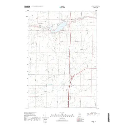
(20)- 2010 Map of Abrams, 2010 Print
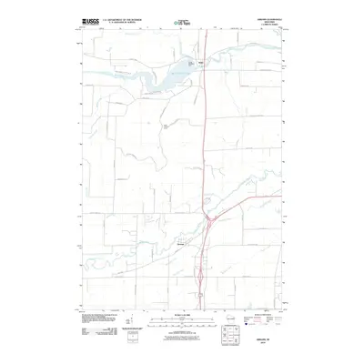 2010 Abrams2010 Print · USGSCovers Abrams, including Little Suamico, Stiles, and other nearby areas
 - 2010 Map of Oconto Falls South, 2010 Print
 2010 Oconto Falls South2010 Print · USGSCovers Abrams, including Chase, Oconto Falls, and other nearby areas
 - 2010 Map of Suamico, 2010 Print
 2010 Suamico2010 Print · USGSCovers Abrams, including Suamico, Little Suamico, and other nearby areas
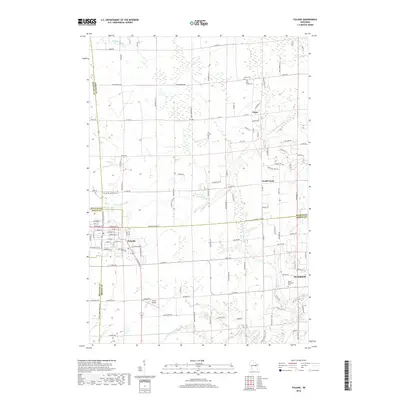
 - 2010 Map of Pulaski, 2010 Print
 2010 Pulaski2010 Print · USGSCovers Abrams, including Suamico, Little Suamico, and other nearby areas
 - 2013 Map of Oconto Falls South, 2013 Print
 2013 Oconto Falls South2013 Print · USGSCovers Abrams, including Chase, Oconto Falls, and other nearby areas
 - 2013 Map of Suamico, 2013 Print
 2013 Suamico2013 Print · USGSCovers Abrams, including Suamico, Little Suamico, and other nearby areas
 - 2013 Map of Abrams, 2013 Print
 2013 Abrams2013 Print · USGSCovers Abrams, including Little Suamico, Stiles, and other nearby areas
 - 2013 Map of Pulaski, 2013 Print
 2013 Pulaski2013 Print · USGSCovers Abrams, including Suamico, Little Suamico, and other nearby areas
 - 2016 Map of Suamico, 2016 Print
 2016 Suamico2016 Print · USGSCovers Abrams, including Suamico, Little Suamico, and other nearby areas
 - 2016 Map of Oconto Falls South, 2016 Print
 2016 Oconto Falls South2016 Print · USGSCovers Abrams, including Chase, Oconto Falls, and other nearby areas
 - 2016 Map of Abrams, 2016 Print
 2016 Abrams2016 Print · USGSCovers Abrams, including Little Suamico, Stiles, and other nearby areas
 - 2016 Map of Pulaski, 2016 Print
 2016 Pulaski2016 Print · USGSCovers Abrams, including Suamico, Little Suamico, and other nearby areas
 - 2018 Map of Oconto Falls South, 2018 Print
 2018 Oconto Falls South2018 Print · USGSCovers Abrams, including Chase, Oconto Falls, and other nearby areas
 - 2018 Map of Abrams, 2018 Print
 2018 Abrams2018 Print · USGSCovers Abrams, including Little Suamico, Stiles, and other nearby areas
 - 2018 Map of Suamico, 2018 Print
 2018 Suamico2018 Print · USGSCovers Abrams, including Suamico, Little Suamico, and other nearby areas
 - 2018 Map of Pulaski, 2018 Print
 2018 Pulaski2018 Print · USGSCovers Abrams, including Suamico, Little Suamico, and other nearby areas
 - 2022 Map of Pulaski, 2022 Print
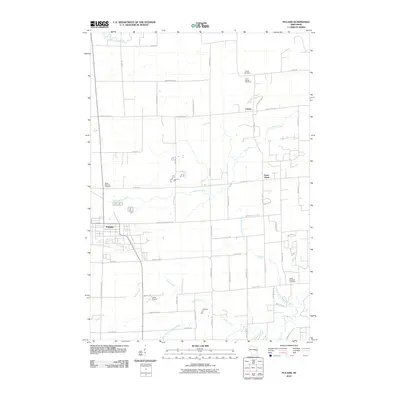
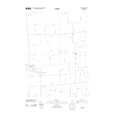
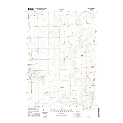
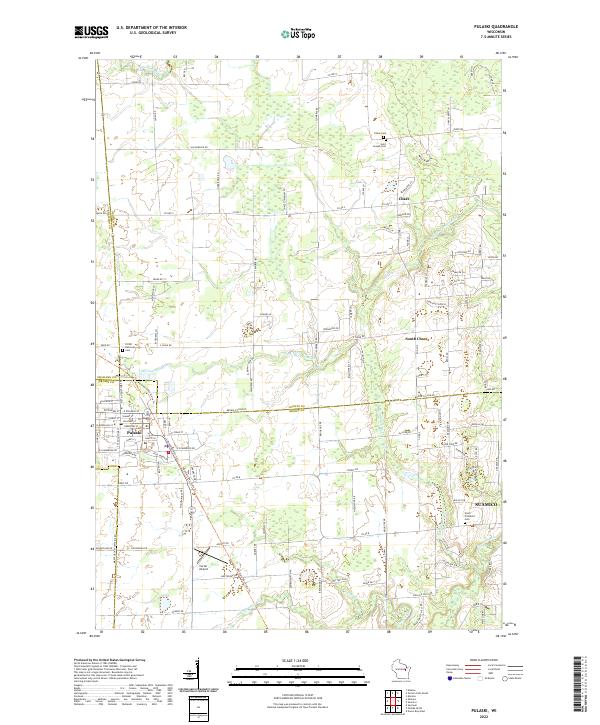 2022 Pulaski2022 Print · USGSThe village of Pulaski and its surrounding townships are shown here as they transition into the twenty-first century. Genealogists and local historians can trace burial sites at Saint Joseph Cem and North Pittsfield Cem or follow the paths of the Little Suamico and Pensaukee River.
 - 2022 Map of Suamico, 2022 Print
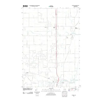
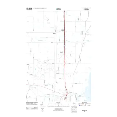
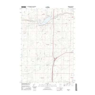
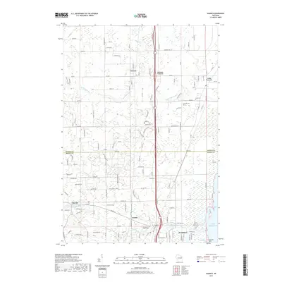
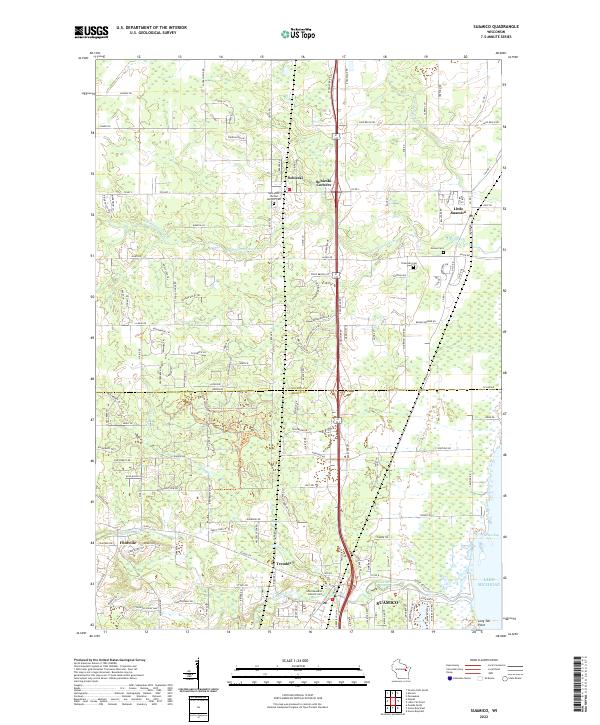 2022 Suamico2022 Print · USGSThe Green Bay shoreline and its inland river valleys come into focus in this recent survey of eastern Wisconsin. Researchers can trace the layout of historic communities like Sobieski, Flintville, and Suamico, or locate family sites at Grosse Cem and Riverside Cem.
 - 2022 Map of Oconto Falls South, 2022 Print
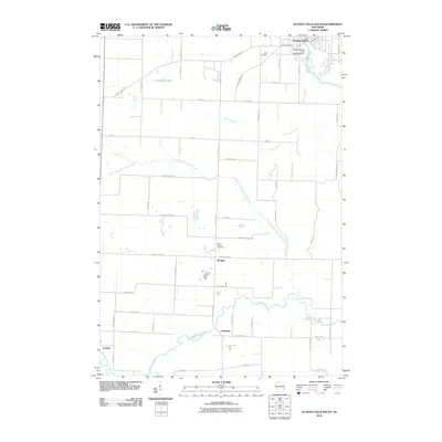
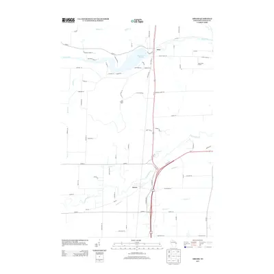
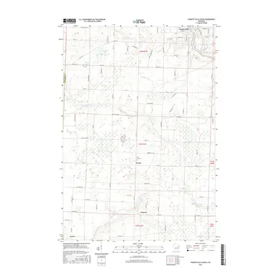
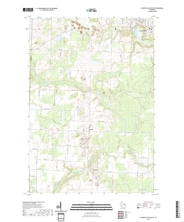 2022 Oconto Falls South2022 Print · USGSThe agricultural lands and river valleys south of Oconto Falls come into focus in this contemporary survey. Researchers can trace family history through sites like Saint Johns Cem and the small settlements of Morgan and Sampson.
 - 2022 Map of Abrams, 2022 Print
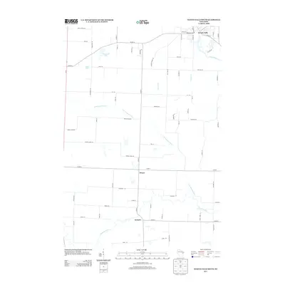
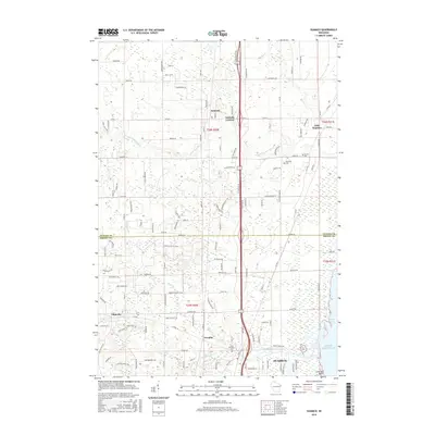
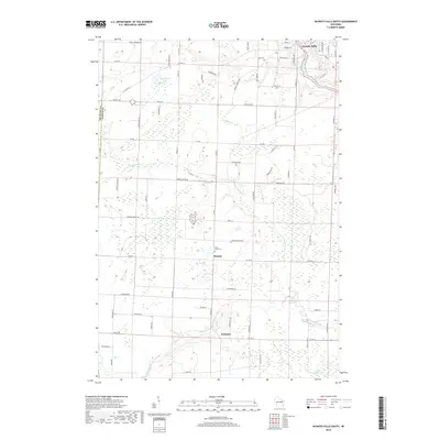
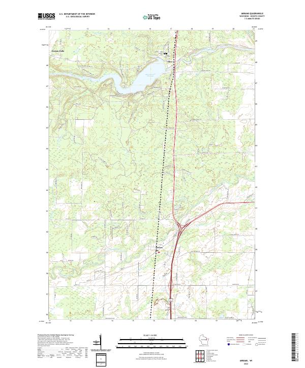 2022 Abrams2022 Print · USGSSouthern Oconto County's river-driven landscape is shown here as it appears today, centered on the villages of Abrams and Stiles. Researchers can trace old family burial sites at the Stiles Town Cem and follow the expansive Machickanee Flowage along the Oconto River.
End of results
Showing maps 1-20 of 20
Top cities near Abrams
- Howard historical maps
- Suamico historical maps
- Oconto historical maps
- Little Suamico historical maps
- Pulaski historical maps
- Chase historical maps
See more
Frequently asked questions
- What are the different types of historical maps available for Abrams?
- What is the oldest map of Abrams?
- Where can I purchase historical maps of Abrams for my home or office?
- Where can I download high-res historical maps of Abrams?
- Are there historical topographic maps available for Abrams?
- Is there historical aerial imagery available for Abrams?
- Where are historical maps of Abrams sourced from?