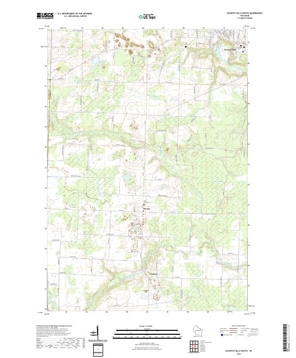
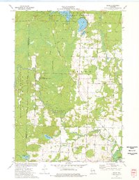
2022 Map of Oconto Falls South
USGS Topo · Published 2022About this map
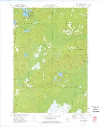
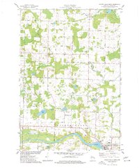
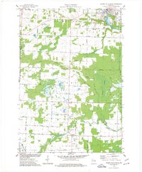
The Pensaukee River and its northern branch define the rural character of this Oconto County landscape, which transitions from the developed edge of Oconto Falls in the northeast to the sprawling wetlands of Morgan Marsh. These waterways historically influenced the placement of small communities like Morgan and Sampson, which serve as quiet hubs in a grid of secondary roads such as Morgan Marsh Rd and Konitzer Rd. The map reveals a land heavily shaped by post-glacial geography, where small basins like Dombroski Lake and Delzer Lake sit alongside low-lying marshes.
Find a feature on this map
39 named features on this map. Tap any name to fly to it.
Don’t see what you’re looking for? This feature index may not catch every label — zoom into the map to look around manually.
Map Details
Editions of this 2022 Oconto Falls South Map
This is the sole edition of this map. No revisions or reprints were ever made.
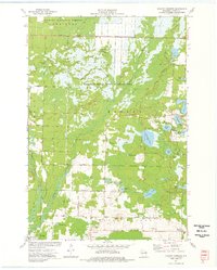
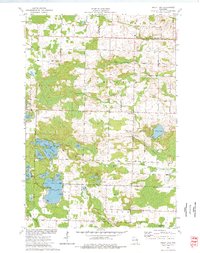
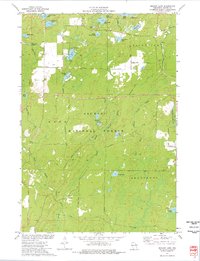
Historical Maps of Abrams Through Time
31 maps found
1942 Breed
Oconto County, WI
1972 Thunder Mountain
Oconto County, WI
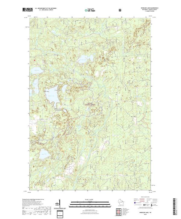
1972 Wheeler Lake
Oconto County, WI
1973 Breed
Oconto County, WI
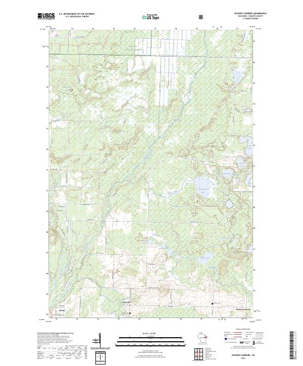
1973 Hickory Corners
Oconto County, WI
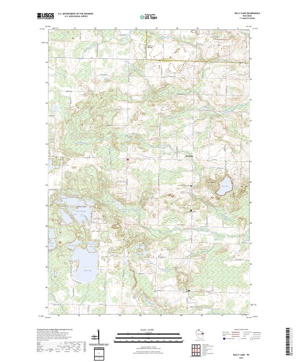
1973 Kelly Lake
Oconto County, WI
1973 Shadow Lake
Oconto County, WI
1973 Shay Lake
Oconto County, WI
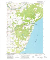
1974 Berry Lake
Oconto County, WI
1974 Little Tail Point
Oconto County, WI
1974 Oconto East
Oconto County, WI
1974 Oconto Falls North
Oconto County, WI
1974 Oconto Falls South
Oconto County, WI
1974 Oconto SE
Oconto County, WI
1974 Oconto West
Oconto County, WI
1974 Pensaukee
Oconto County, WI
2022 Berry Lake
Oconto County, WI
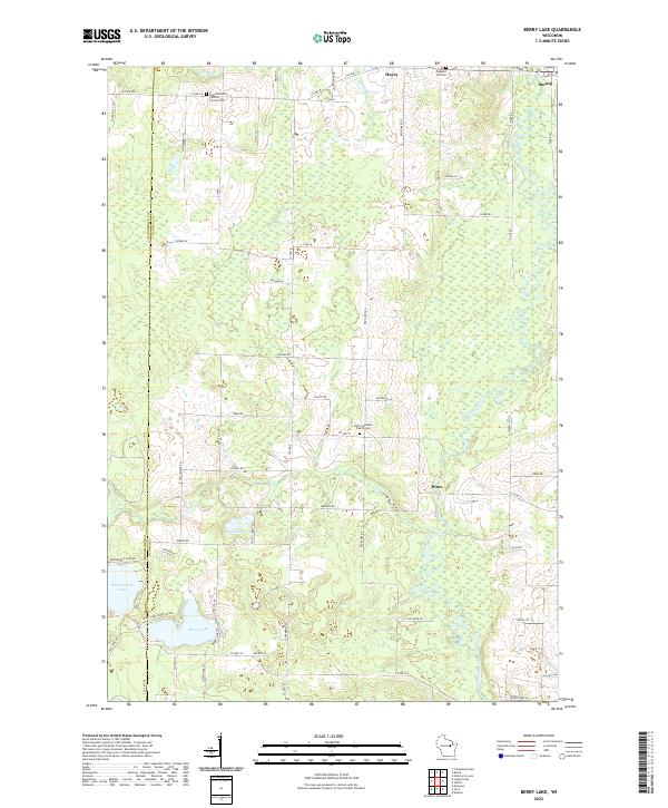
2022 Breed
Oconto County, WI
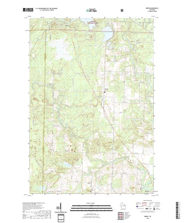
2022 Little Tail Point
Oconto County, WI
2022 Oconto East
Oconto County, WI
2022 Oconto Falls North
Oconto County, WI
2022 Oconto Falls South
Oconto County, WI
2022 Oconto SE
Oconto County, WI
2022 Oconto West
Oconto County, WI
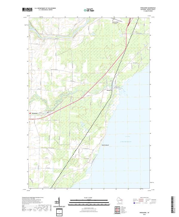
2022 Pensaukee
Oconto County, WI
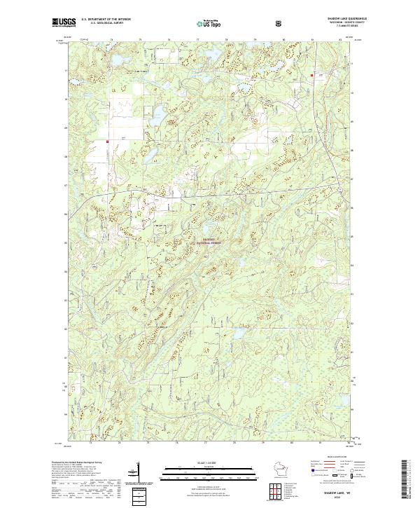
2022 Shadow Lake
Oconto County, WI
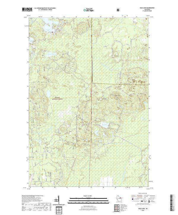
2022 Shay Lake
Oconto County, WI
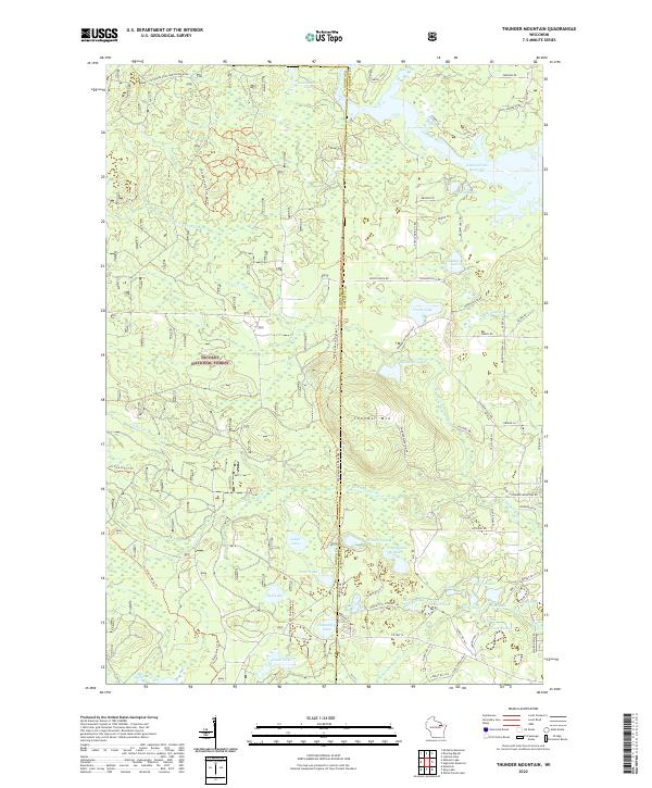
2022 Thunder Mountain
Oconto County, WI
2022 Wheeler Lake
Oconto County, WI
2023 Hickory Corners
Oconto County, WI
2023 Kelly Lake
Oconto County, WI