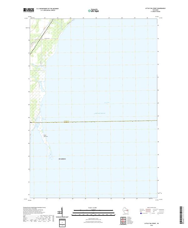
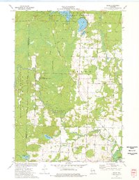
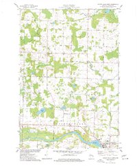
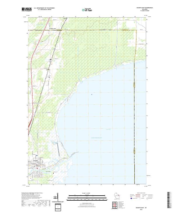
2022 Map of Little Tail Point
USGS Topo · Published 2022About this map
Green Bay and the vast waters of Lake Michigan dominate this coastal survey along the western shore. The geography is defined by the elongated protrusion of Little Tail Point, a narrow landform extending south into the bay. Inland, the landscape transitions into the Little Tail Swamp, a low-lying wetland environment fed by the Little Suamico River and smaller tributaries like Kirchner Cr and Tibbet Creek.
Find a feature on this map
15 named features on this map. Tap any name to fly to it.
Don’t see what you’re looking for? This feature index may not catch every label — zoom into the map to look around manually.
Map Details
Editions of this 2022 Little Tail Point Map
This is the sole edition of this map. No revisions or reprints were ever made.
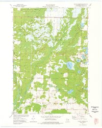
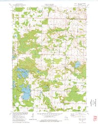
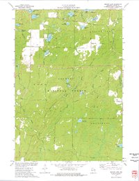
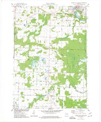
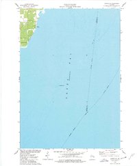
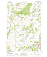
Historical Maps of Suamico Through Time
31 maps found
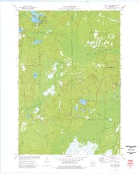
1942 Breed
Oconto County, WI
1972 Thunder Mountain
Oconto County, WI
1972 Wheeler Lake
Oconto County, WI
1973 Breed
Oconto County, WI
1973 Hickory Corners
Oconto County, WI
1973 Kelly Lake
Oconto County, WI
1973 Shadow Lake
Oconto County, WI
1973 Shay Lake
Oconto County, WI
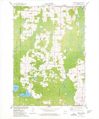
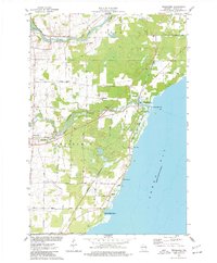
1974 Berry Lake
Oconto County, WI
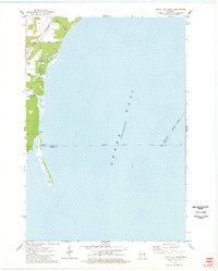
1974 Little Tail Point
Oconto County, WI
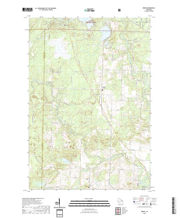
1974 Oconto East
Oconto County, WI
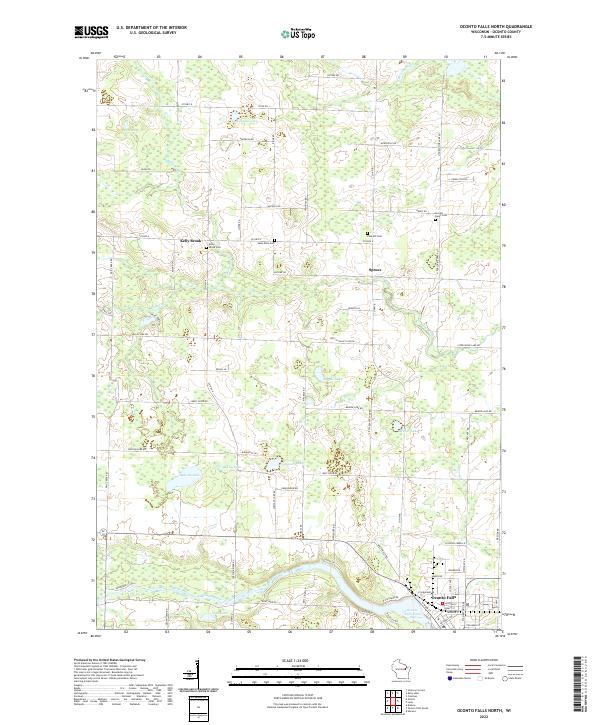
1974 Oconto Falls North
Oconto County, WI
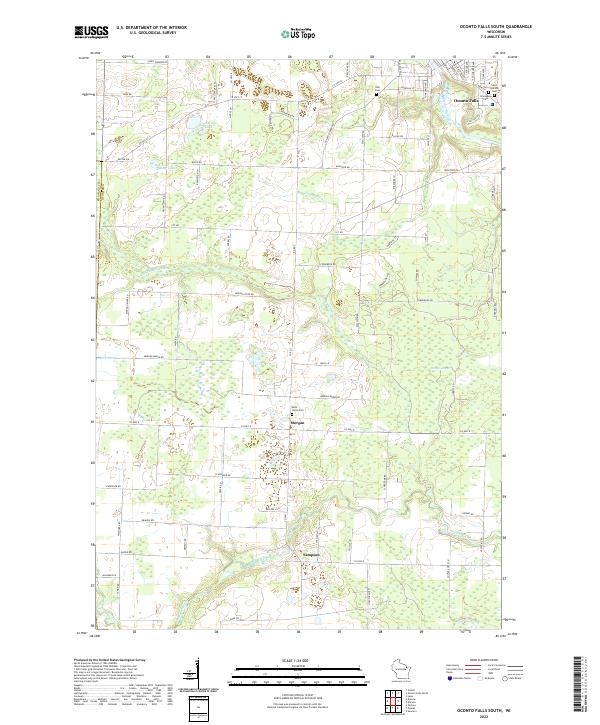
1974 Oconto Falls South
Oconto County, WI
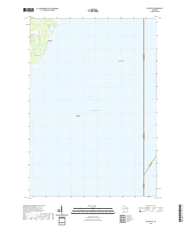
1974 Oconto SE
Oconto County, WI
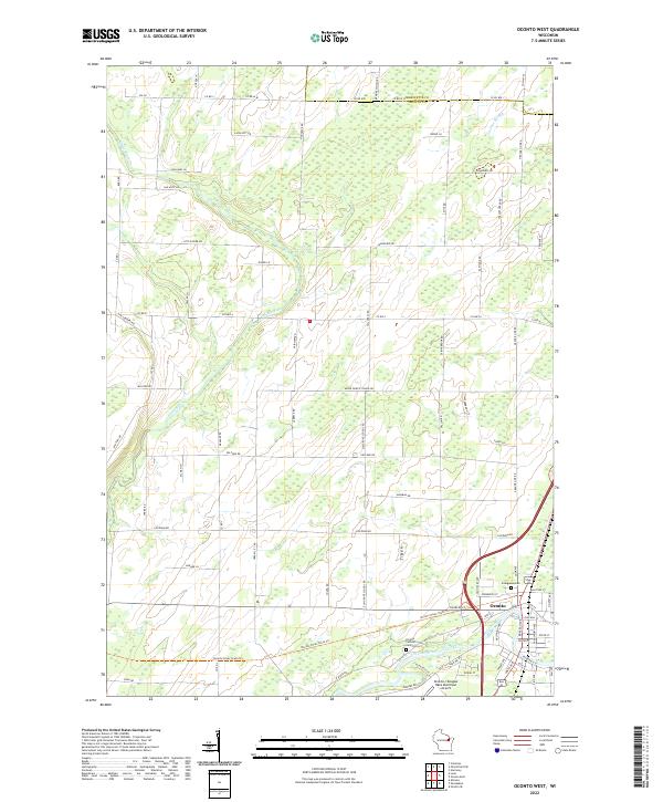
1974 Oconto West
Oconto County, WI
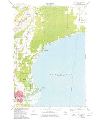
1974 Pensaukee
Oconto County, WI
2022 Berry Lake
Oconto County, WI
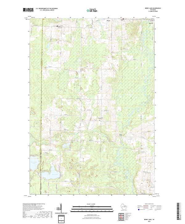
2022 Breed
Oconto County, WI
2022 Little Tail Point
Oconto County, WI
2022 Oconto East
Oconto County, WI
2022 Oconto Falls North
Oconto County, WI
2022 Oconto Falls South
Oconto County, WI
2022 Oconto SE
Oconto County, WI
2022 Oconto West
Oconto County, WI
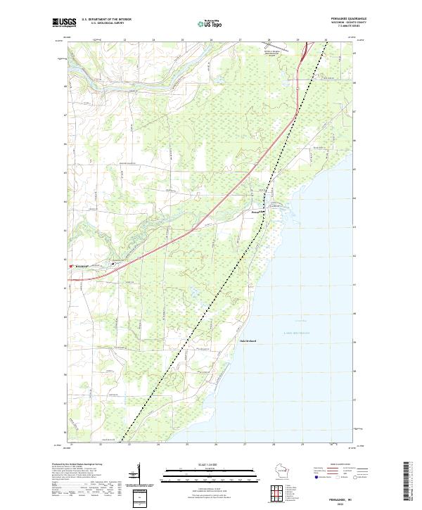
2022 Pensaukee
Oconto County, WI
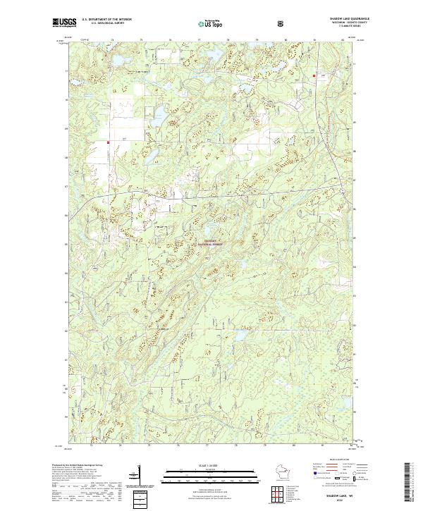
2022 Shadow Lake
Oconto County, WI
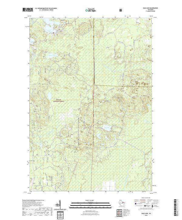
2022 Shay Lake
Oconto County, WI
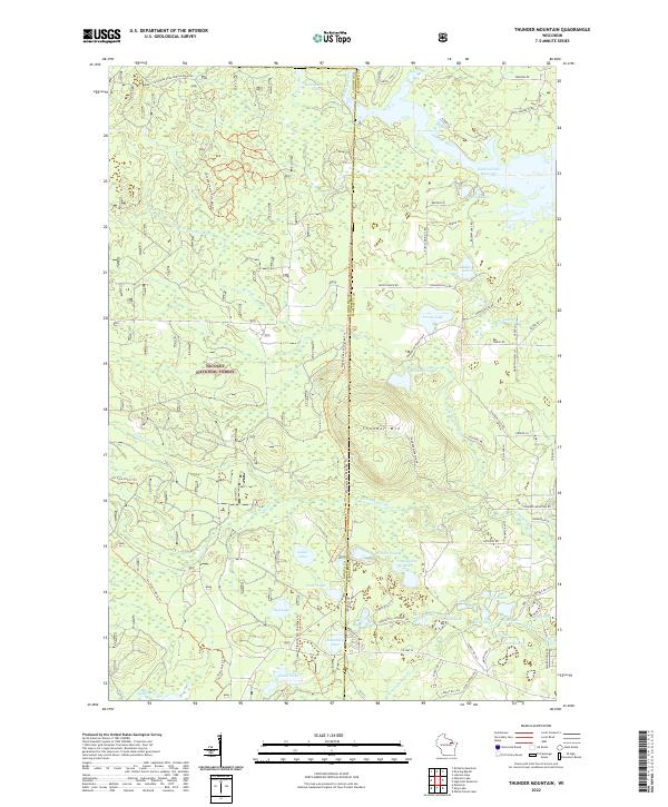
2022 Thunder Mountain
Oconto County, WI
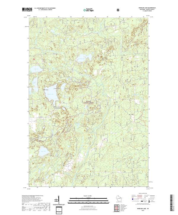
2022 Wheeler Lake
Oconto County, WI
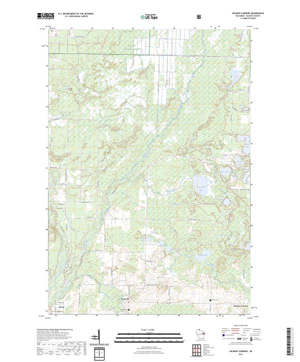
2023 Hickory Corners
Oconto County, WI
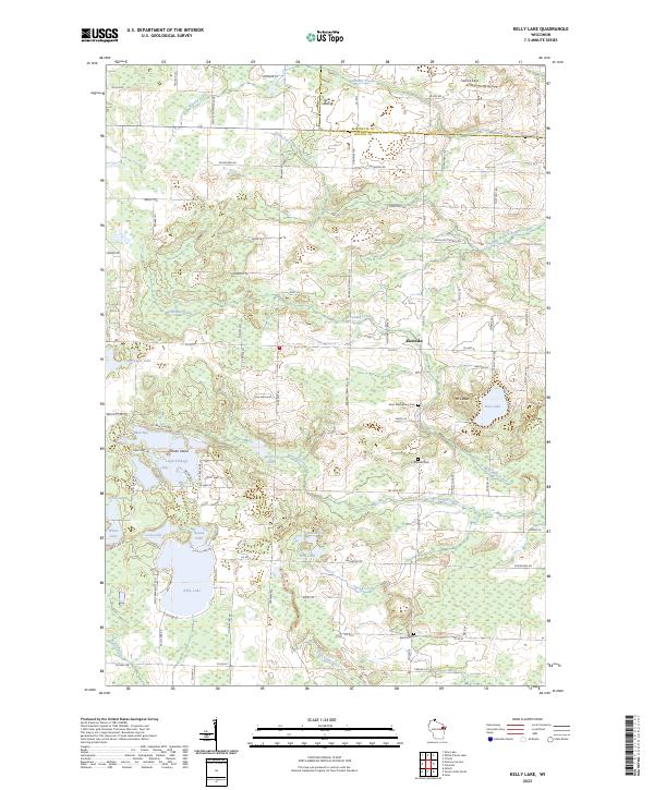
2023 Kelly Lake
Oconto County, WI