Old Maps of Buchanan, Wisconsin for Academic Research
Study the evolution of Buchanan with 19 high-resolution historic maps. Whether you're teaching, researching, or modeling changes in land use, these maps provide essential visual documentation of urban, environmental, and geographic change.
- Analyze long-term change: Track patterns in development, transportation, and natural features.
- Ideal for environmental or urban studies: Support academic projects with primary historical map data.
- Use in the classroom or lab: Educators and researchers rely on these maps to bring historical context to life.
These maps are a powerful tool for teaching, research, and visualizing how Buchanan has changed over the decades.
Buchanan, WI maps
(19)- 1911 Map of Neenah, 1949 Print
 1911 Neenah1949 Print · USGSThe Fox River Valley was a thriving industrial and social corridor at the dawn of the twentieth century. Genealogists and historians can trace the early layouts of Neenah and Menasha or locate vanished landmarks like High Cliff PO and the Limeworks.
 - 1954 Map of De Pere, 1956 Print
 1954 De Pere1956 Print · USGSThe Fox River valley in the mid-1950s was a hub of industrial navigation and growing aviation between De Pere and Green Bay. Genealogists can trace family names through dozens of rural sites like St Patrick Cem, Gopher Hill, and the Michaelson Sch (Abandoned).2 unique versions available
 - 1954 Map of Chilton, 1956 Print
 1954 Chilton1956 Print · USGSMid-century Calumet County is captured here during a period of transition for its rural school districts and thriving rail corridors. Genealogists can locate family landmarks such as St Lukes Church, Brillion Cem, and several schoolhouses like the Howe Sch.3 unique versions available
 - 1955 Map of Neenah, 1957 Print
 1955 Neenah1957 Print · USGSMid-century Wisconsin comes to life along the Fox River and Lake Winnebago as industrial towns like Neenah and Menasha expand. Genealogists and historians can trace old property lines near St Marys Cem or locate defunct landmarks like the Drive-in Theater and Clay Sch.3 unique versions available
 - 1955 Map of Appleton, 1957 Print
 1955 Appleton1957 Print · USGSOutagamie County's river-driven industrial valley and sprawling northern farmsteads are captured here in the mid-1950s. Genealogists and historians can trace the foundations of Appleton and Kaukauna or locate rural landmarks like Mackville Station and the Herman Sch (Abandoned).2 unique versions available
 - 1955 Map of Green Bay, 1968 Print
 1955 Green Bay1968 Print · USGSCentral and Eastern Wisconsin are captured here in the mid-fifties, showing the industrial growth of the Fox Valley and Wisconsin River corridors. Genealogists and historians can trace rail lines like the Green Bay and Western through settlements like Weyauwega, Clintonville, and Pulaski.2 unique versions available
 - 1974 Map of Hilbert, 1977 Print
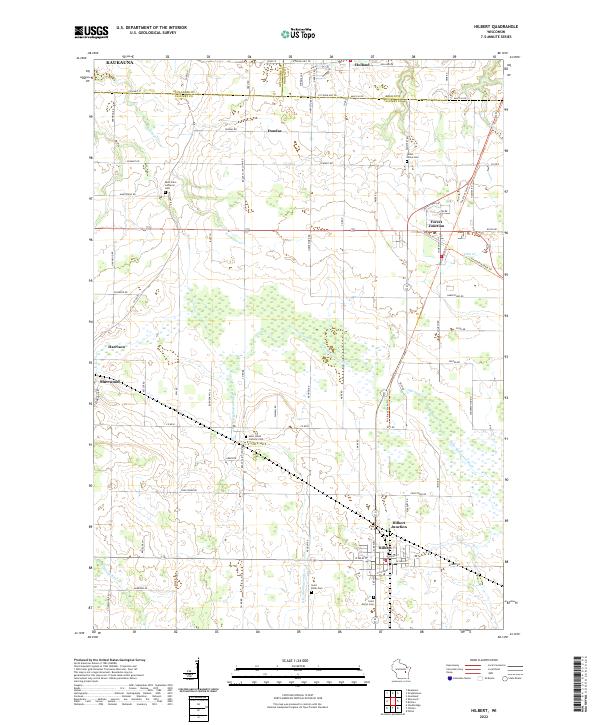
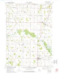 1974 Hilbert1977 Print · USGSCalumet County was a thriving rail intersection in the 1970s, where three major lines converged at the village of Hilbert. Genealogists and local historians can trace the community's heritage through landmarks like St Peters Cem, Forest Junction, and the Forest Assembly Ground.
 - 1974 Map of Kaukauna, 1978 Print
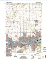
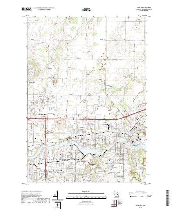
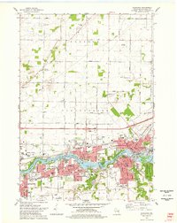 1974 Kaukauna1978 Print · USGSKaukauna and the surrounding Fox River valley are captured in the mid-seventies, showing the dense industrial and parish-linked neighborhoods of the era. Researchers can trace family roots through numerous sites like Holy Name Cem, St John Cem, and schools like Electa Quinney Sch.2 unique versions available
 - 1974 Map of Wrightstown, 1978 Print
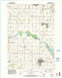
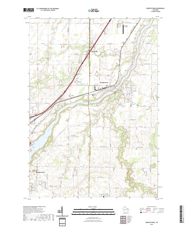
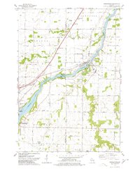 1974 Wrightstown1978 Print · USGSWrightstown and the Fox River valley are captured in the mid-1970s, showing a landscape defined by water power and rural crossroads. Genealogists can locate numerous local burial sites like St Johns Cem and South Lawrence Cem, or trace the old Chicago and Northwestern rail corridor.
 - 1974 Map of Sherwood, 1978 Print
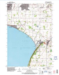
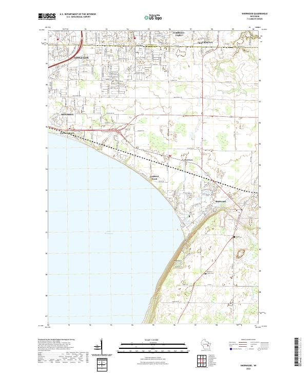
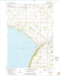 1974 Sherwood1978 Print · USGSThe Lake Winnebago shoreline in the mid-1970s shows a landscape balancing industry and recreation at the Calumet and Outagamie county line. Researchers can find old family cemeteries like Sacred Heart Cem, explore the Limekiln Ruins, or trace the Soo Line through Sherwood.2 unique versions available
 - 1984 Map of Appleton, 1985 Print
 1984 Appleton1985 Print · USGSThe Fox River Valley in the mid-eighties shows a bustling corridor of industry and nature, from the shores of Lake Winnebago to the Oneida Indian Reservation. Trace local heritage through landmarks like Riverside Cem or explore the wetlands of Poygan Marsh State Wildlife Area.2 unique versions available
 - 1992 Map of Hilbert, 1996 Print
 1992 Hilbert1996 Print · USGSCalumet and Brown counties are mapped here in the early 1990s, capturing a landscape of dairy-country road grids and quiet village life. Genealogists can trace family landmarks like Saint Peters Cemetery, the Forest Assembly Ground, and the small settlement of St John.
 - 1992 Map of Kaukauna, 1996 Print
 1992 Kaukauna1996 Print · USGSThe Fox River industrial corridor is shown in high detail during the early nineties as urban centers like Kaukauna and Little Chute expanded. Genealogists can locate several local burial grounds such as St John Cem and Holy Name Cemetery alongside parks like Thousand Island State Conservancy Park.
 - 1992 Map of Sherwood, 1996 Print
 1992 Sherwood1996 Print · USGSLake Winnebago and its prominent eastern bluffs are the centerpiece of this Calumet County survey from the early nineties. Researchers can locate genealogical landmarks like High Cliff Cemetery or trace the industrial history of the Limekiln Ruins and local Quarry operations.
 - 1992 Map of Wrightstown, 1996 Print
 1992 Wrightstown1996 Print · USGSThe Fox River valley in the early nineties shows a balance of industrial power and rural community life. Genealogists can locate several historic burial grounds including St Paul Cemetery and St Johns Cemetery, or trace the path of Plum Creek through Holland.
 - 2022 Map of Kaukauna, 2022 Print
 2022 Kaukauna2022 Print · USGSThe industrial corridor of the Fox River comes alive in this contemporary survey of the Paper Valley. Genealogists and local researchers can pinpoint family plots at Holy Cross Cem or Union Cem and trace the urban footprints of Kimberly and Kaukauna.
 - 2022 Map of Wrightstown, 2022 Print
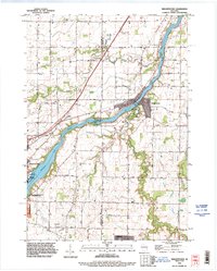
 2022 Wrightstown2022 Print · USGSWrightstown and the Fox River Valley are captured here in the early 2020s, showing the enduring settlement patterns of this river-centered community. Researchers can locate numerous local burial grounds like Riverside Cem and Saint Johns Cem or trace rural landmarks like the Antique Aerodrome.
 - 2022 Map of Sherwood, 2022 Print
 2022 Sherwood2022 Print · USGSThe eastern shores of Lake Winnebago and the heights of High Cliff appear in detail in this modern era survey. Trace family history at Sacred Heart Cem or explore the development of Sherwood and Highland Beach.
 - 2022 Map of Hilbert, 2022 Print
 2022 Hilbert2022 Print · USGSCalumet County settlements and the headwaters of the Manitowoc River system are documented here during the early 2020s. Genealogists and local historians can trace rural family plots at Saint Mary's Cem and follow the path of the Friendship State Trl through Forest Junction.
End of results
Showing maps 1-19 of 19
Top cities near Buchanan
- Green Bay historical maps
- Appleton historical maps
- Neenah historical maps
- De Pere historical maps
- Grand Chute historical maps
- Fox Crossing historical maps
See more
Top neighborhoods of Buchanan
Frequently asked questions
- What are the different types of historical maps available for Buchanan?
- What is the oldest map of Buchanan?
- Where can I purchase historical maps of Buchanan for my home or office?
- Where can I download high-res historical maps of Buchanan?
- Are there historical topographic maps available for Buchanan?
- Is there historical aerial imagery available for Buchanan?
- Where are historical maps of Buchanan sourced from?