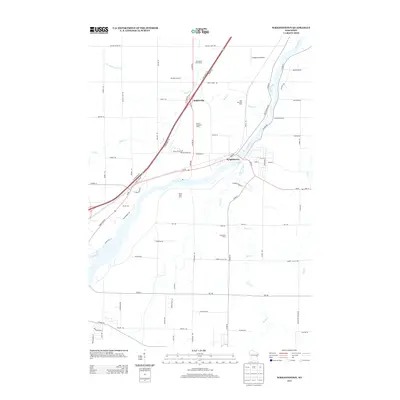
2013 Map of Wrightstown
USGS Topo · Published 2013About this map
The Fox River serves as the central artery for this portion of Outagamie County, Wisconsin, carving a wide path through the landscape near the village of Wrightstown. The regional economy is anchored by agricultural operations, specifically dairy farming, which is represented by numerous named facilities such as Van Rossum Dairy, United Meadows Dairy, and Seven Oaks Dairy. These sites, along with others like Brightside Dairy and New Horizons Dairy, underscore the area's continued reliance on the dairy industry into the 21st century.
Find a feature on this map
87 named features on this map. Tap any name to fly to it.
Don’t see what you’re looking for? This feature index may not catch every label — zoom into the map to look around manually.
Map Details
Editions of this 2013 Wrightstown Map
This is the sole edition of this map. No revisions or reprints were ever made.
Other maps of this area

1911 · Neenah
USGS Topo · 1:62,500

1954 · De Pere
USGS Topo · 1:62,500

1954 · De Pere
USGS Topo · 1:24,000

1954 · Chilton
USGS Topo · 1:62,500

1955 · Neenah
USGS Topo · 1:62,500

1955 · Appleton
USGS Topo · 1:62,500

1955 · Green Bay
USGS Topo · 1:250,000

1974 · Hilbert
USGS Topo · 1:24,000

1974 · Brillion
USGS Topo · 1:24,000

1974 · Kaukauna
USGS Topo · 1:24,000