2000s (21st Century) Maps of Black Brook, Wisconsin
Explore 4 historic maps of Black Brook from the 2000s (21st Century). These maps offer a rare glimpse into what life looked like during the 2000s — showing old roads, neighborhoods, homes, and landmarks that have changed or disappeared over time.
Whether you're researching your family's past, planning a metal detecting trip, or studying how Black Brook's landscape evolved across the 2000s, these high-resolution maps are a powerful tool for exploring the history of this region.
- Focus on a specific era: All maps on this page are from the 2000s, giving you a focused view of this time period.
- See what’s changed: Compare century-old streets, trails, and buildings to today's modern landscape using overlays and satellite layers.
- Research with precision: Use these maps for genealogy, historical research, land use analysis, or educational projects.
- View, download, or print: Maps are fully viewable online in high resolution, and can be downloaded or printed for your own records.
Start exploring Black Brook's history through authentic maps from the 2000s. This is your window into the past.
Black Brook, WI maps
(4)- 2022 Map of Wapogasset Lake, 2022 Print
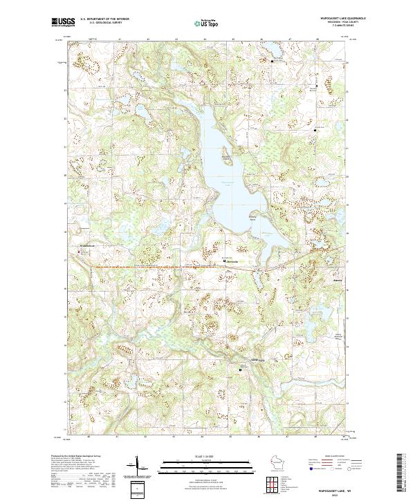 2022 Wapogasset Lake2022 Print · USGSLakefront life and rural hamlets define this corner of Polk County in the early 2020s. Genealogists and historians can locate quiet burial sites like Travelers Rest Cem and trace the winding Apple River through Little Falls and Deronda.
 - 2022 Map of Amery, 2022 Print
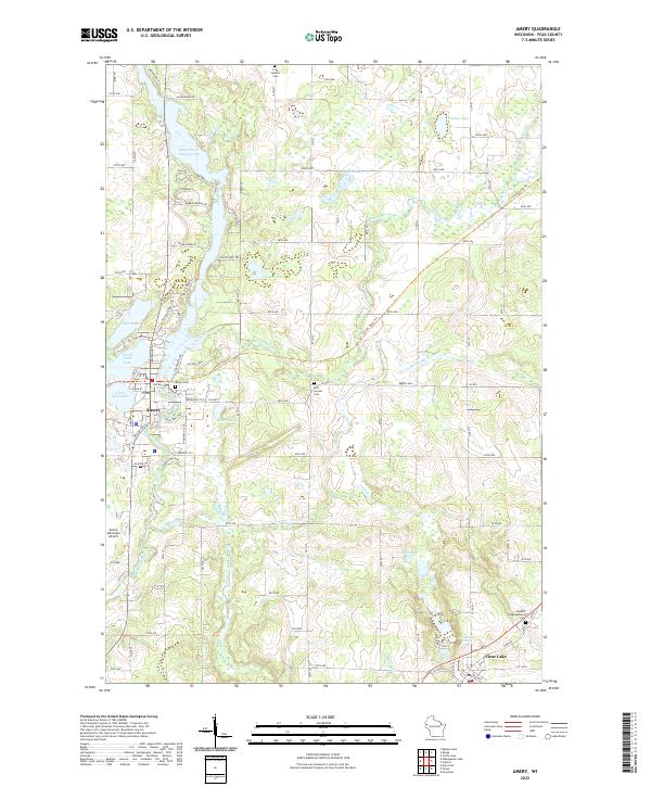 2022 Amery2022 Print · USGSPolk County in the 2020s remains a landscape shaped by the Apple River and its many glacial lakes. Researchers can trace historic burial sites like the Swedish Congregational Cem and follow the route of the Cattail State Tri.
 - 2022 Map of Forest, 2022 Print
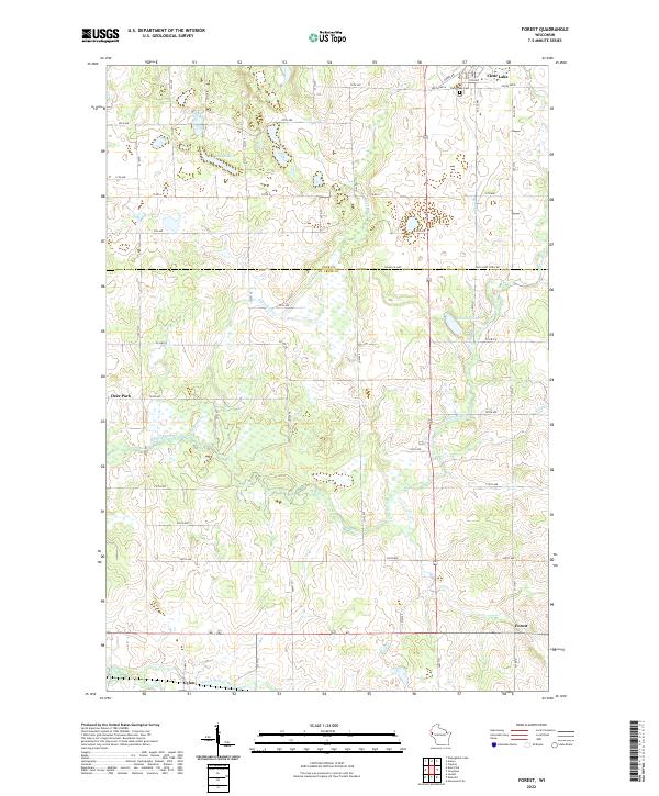 2022 Forest2022 Print · USGSWestern Wisconsin's agricultural heartland is documented here at the turn of the 2020s. Genealogists can locate family sites near Clear Lake Cem or trace rural roots in Deer Park, Forest, and Cylon.
 - 2022 Map of Deer Park, 2022 Print
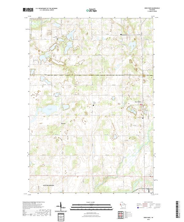 2022 Deer Park2022 Print · USGSDeer Park and the rural intersections of St. Croix County are shown in detail as they appeared recently. Genealogists and local historians can locate several family burial sites, including Wagon Landing Cem, Calvary Cem, and Saint Bridget's Cem.
End of results
Showing maps 1-4 of 4
Top cities near Black Brook
- New Richmond historical maps
- Amery historical maps
- Town of Alden historical maps
- Town of Lincoln historical maps
- Richmond historical maps
- Warren historical maps
See more
Top neighborhoods of Black Brook
Frequently asked questions
- What are the different types of historical maps available for Black Brook?
- What is the oldest map of Black Brook?
- Where can I purchase historical maps of Black Brook for my home or office?
- Where can I download high-res historical maps of Black Brook?
- Are there historical topographic maps available for Black Brook?
- Is there historical aerial imagery available for Black Brook?
- Where are historical maps of Black Brook sourced from?