Old Maps of Big Falls, Wisconsin for Metal Detecting
Plan your next treasure hunt with 32 historic maps of Big Falls. Find old homesites, ghost towns, trails, and gathering spots that may be lost to time — perfect for identifying promising metal detecting locations.
- Locate forgotten sites: Uncover places like long-lost settlements, abandoned rail lines, or gathering spots.
- Plan better hunts: Use map overlays combined with LiDAR or satellite views to narrow in on historically rich areas.
- Made for detectorists: Thousands of hobbyists use these maps to discover relics, coins, and hidden history.
Use these historic maps to boost your research and find new opportunities beneath the surface of Big Falls.
Big Falls, WI maps
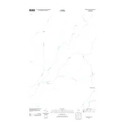
(32)- 1944 Map of Exeland, 1952 Print
 1944 Exeland1952 Print · USGSNorthern Wisconsin's river country is captured in the mid-1940s as rural life centered on local schools and the rail line. Genealogists can trace family footprints near Exeland or at one of many country schoolhouses like Murry Sch and Laurel Hill Sch.2 unique versions available
 - 1945 Map of Ingram, 1967 Print
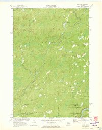
 1945 Ingram1967 Print · USGSThe Flambeau River basin comes into sharp focus in the mid-1940s, revealing a landscape of remote camps and early state forestry. Researchers can trace the rail corridor through Ingram or locate vanished sites like the CCC Rusk Camp (Abandoned) and Pioneer Sch.
 - 1947 Map of Exeland
 1947 Exeland1947 Print · USGSNorthwest Wisconsin's river country comes into focus in the 1940s as rural school districts and small homesteads still defined the landscape. Genealogists can locate family-named landmarks like Reppert School or Murry School and trace the original course of the Chippewa River.
 - 1947 Map of Ingram
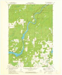
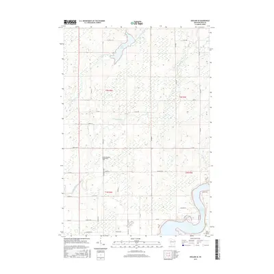
 1947 Ingram1947 Print · USGSIn the Wisconsin Northwoods after the war, the Flambeau River basin was a landscape of timber management and hydroelectric power. Researchers can locate the CCC Rusk Camp, the Big Falls Dam, and rural landmarks like the Swedish Lutheran Cem.
 - 1953 Map of Rice Lake, 1967 Print
 1953 Rice Lake1967 Print · USGSNorthwest Wisconsin during the mid-fifties reveals a landscape defined by timber, rail, and water. Genealogists and historians can trace the development of river towns like Ladysmith and Rice Lake along the Soo Line and Chicago and North Western railroads.2 unique versions available
 - 1959 Map of Rice Lake
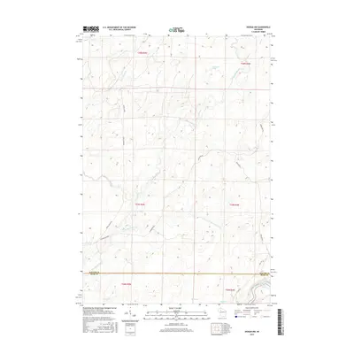
 1959 Rice Lake1959 Print · USGSNorthwest Wisconsin in the late fifties was a land of expanding road networks and deep-seated timber history. Genealogists and historians can trace rail lines like the Soo Line RR and Chicago St Paul Minneapolis and Omaha Ry as they link settlements from Spooner to Medford.
 - 1971 Map of Big Falls Dam, 1973 Print
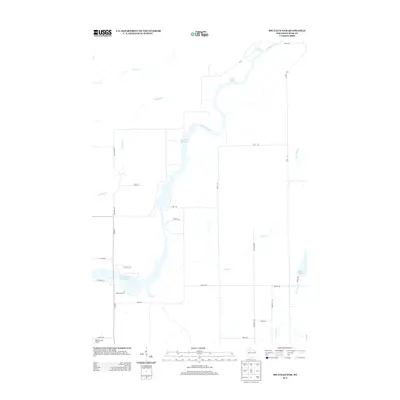
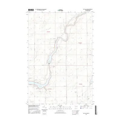
 1971 Big Falls Dam1973 Print · USGSThe Flambeau River dominates this Rusk County landscape during the early 1970s as it transitions from wild rapids to managed flowages. Researchers can trace the local community through the Glenview Cem, the Swedish Cem, and the settlement at Glen Flora.2 unique versions available
 - 1971 Map of Ingram NW, 1973 Print
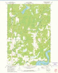
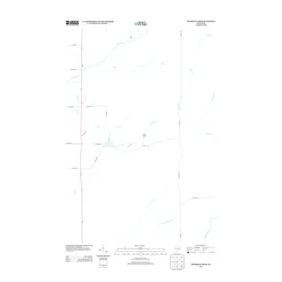
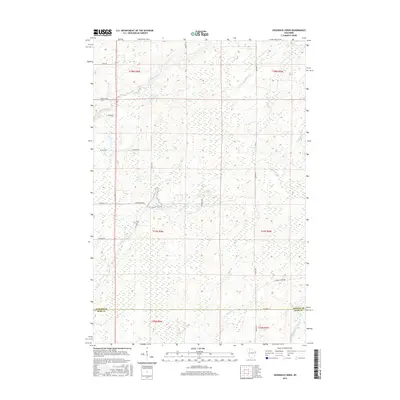
 1971 Ingram NW1973 Print · USGSSawyer County in the early 1970s is a landscape of dense forests and river networks just as modern conservation boundaries were being solidified. You can trace old logging routes like the Bissell Grade and locate historical sites such as Old Weaver Camp and Hay-Stack Corner.2 unique versions available
 - 1972 Map of Hogsback Creek, 1975 Print
 1972 Hogsback Creek1975 Print · USGSNorthern Wisconsin’s timber and rail history is visible in the early seventies across the Sawyer and Rusk county line. Trace legacy transport routes like the Bissell Grade and the Old Railroad Grade alongside Hogsback Creek.
 - 1972 Map of Exeland SE, 1975 Print
 1972 Exeland SE1975 Print · USGSRusk County at the start of the 1970s showcases a landscape of active water management and rural community life. Researchers can locate the Round Meadow Community Club, trace the OLD RR GRADE, and see the early layout of the Rusk County Airport.
 - 1980 Map of Spooner
 1980 Spooner1980 Print · USGSNorthwestern Wisconsin at the dawn of the eighties reveals a landscape of deep forests and transitioning rail corridors. Genealogists and historians can trace lakefront settlements like Spooner and Birchwood or follow the early Tuscobia-Park Falls State Trail.
 - 1980 Map of Park Falls
 1980 Park Falls1980 Print · USGSNorthern Wisconsin's timber and rail corridor is meticulously detailed here in the early eighties. Researchers can trace the Soo Line through forest-bound towns like Park Falls, Phillips, and Lugerville while exploring the vast Chequamegon National Forest.
 - 2010 Map of Exeland SE, 2010 Print
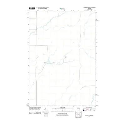
 2010 Exeland SE2010 Print · USGSCovers Big Falls, including Hubbard, Dewey, and other nearby areas
 - 2010 Map of Hogsback Creek, 2010 Print
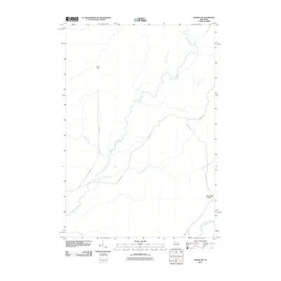
 2010 Hogsback Creek2010 Print · USGSCovers Big Falls, including Hubbard, Winter, and other nearby areas
 - 2010 Map of Ingram NW, 2010 Print
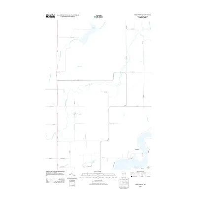
 2010 Ingram NW2010 Print · USGSCovers Big Falls, including Hay Stack Corner, Winter, and other nearby areas
 - 2010 Map of Big Falls Dam, 2010 Print
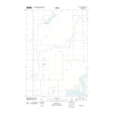
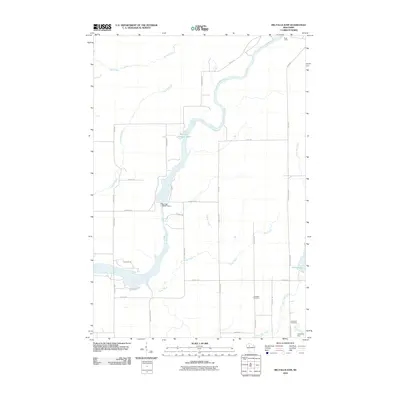 2010 Big Falls Dam2010 Print · USGSCovers Big Falls, including Glen Flora, Cedar Rapids, and other nearby areas
 - 2013 Map of Exeland SE, 2013 Print
 2013 Exeland SE2013 Print · USGSCovers Big Falls, including Hubbard, Dewey, and other nearby areas
 - 2013 Map of Ingram NW, 2013 Print
 2013 Ingram NW2013 Print · USGSCovers Big Falls, including Hay Stack Corner, Winter, and other nearby areas
 - 2013 Map of Big Falls Dam, 2013 Print
 2013 Big Falls Dam2013 Print · USGSCovers Big Falls, including Glen Flora, Cedar Rapids, and other nearby areas
 - 2013 Map of Hogsback Creek, 2013 Print
 2013 Hogsback Creek2013 Print · USGSCovers Big Falls, including Hubbard, Winter, and other nearby areas
 - 2015 Map of Ingram NW, 2015 Print
 2015 Ingram NW2015 Print · USGSCovers Big Falls, including Hay Stack Corner, Winter, and other nearby areas
 - 2015 Map of Big Falls Dam, 2015 Print
 2015 Big Falls Dam2015 Print · USGSCovers Big Falls, including Glen Flora, Cedar Rapids, and other nearby areas
 - 2015 Map of Exeland SE, 2015 Print
 2015 Exeland SE2015 Print · USGSCovers Big Falls, including Hubbard, Dewey, and other nearby areas
 - 2015 Map of Hogsback Creek, 2015 Print
 2015 Hogsback Creek2015 Print · USGSCovers Big Falls, including Hubbard, Winter, and other nearby areas
 - 2018 Map of Ingram NW, 2018 Print
 2018 Ingram NW2018 Print · USGSCovers Big Falls, including Hay Stack Corner, Winter, and other nearby areas
Showing maps 1-25 of 32
Top cities near Big Falls
- Ladysmith historical maps
- Thornapple historical maps
- Weirgor historical maps
- Winter historical maps
- Jump River historical maps
- Ojibwa historical maps
See more
Frequently asked questions
- What are the different types of historical maps available for Big Falls?
- What is the oldest map of Big Falls?
- Where can I purchase historical maps of Big Falls for my home or office?
- Where can I download high-res historical maps of Big Falls?
- Are there historical topographic maps available for Big Falls?
- Is there historical aerial imagery available for Big Falls?
- Where are historical maps of Big Falls sourced from?