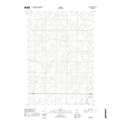
2018 Map of Ingram NW
USGS Topo · Published 2018About this map
The Thornapple River winds through a heavily glaciated wetland landscape on the border of Sawyer Co and Rusk Co. This northern Wisconsin territory is defined by its complex drainage patterns, where the main river is joined by the Little Thornapple River and tributaries like Boss Cr and N Br Tupper Cr. The presence of the Big Swamp and Thornapple Spring illustrates the hydrological character of the region. Transportation in this area is marked by historic logging and utilitarian routes, such as the Thornapple Grade and Bissell Grade Rd, which speak to the historic timber industry that once dominated the Northwoods. At the southern edge, the river passes over the Third Cedar Rapids, a notable navigational feature in this watery expanse.
Find a feature on this map
16 named features on this map. Tap any name to fly to it.
Don’t see what you’re looking for? This feature index may not catch every label — zoom into the map to look around manually.
Map Details
Editions of this 2018 Ingram NW Map
This is the sole edition of this map. No revisions or reprints were ever made.
Other maps of this area

1944 · Exeland
USGS Topo · 1:48,000

1944 · Draper
USGS Topo · 1:48,000

1944 · Radisson
USGS Topo · 1:48,000

1945 · Ingram
USGS Topo · 1:48,000

1947 · Exeland
USGS Topo · 1:48,000

1947 · Ingram
USGS Topo · 1:48,000

1947 · Draper
USGS Topo · 1:48,000

1949 · Radisson
USGS Topo · 1:48,000

1953 · Rice Lake
USGS Topo · 1:250,000

1959 · Rice Lake
USGS Topo · 1:250,000