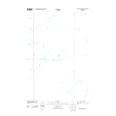
2013 Map of Hogsback Creek
USGS Topo · Published 2013About this map
The Swayne Lookout Tower stands as a primary landmark in this rural Rusk County landscape, overlooking a complex network of waterways that define the local geography. The area is dominated by the winding paths of the Brunet River in the northwest and the Thornapple River system in the southeast, which includes the Little Thornapple River. These watercourses are supported by numerous tributaries such as Elm Cr, Nail Cr, and the eponymous Hogsback Cr.
Find a feature on this map
26 named features on this map. Tap any name to fly to it.
Don’t see what you’re looking for? This feature index may not catch every label — zoom into the map to look around manually.
Map Details
Editions of this 2013 Hogsback Creek Map
This is the sole edition of this map. No revisions or reprints were ever made.
Other maps of this area

1944 · Exeland
USGS Topo · 1:48,000

1944 · Draper
USGS Topo · 1:48,000

1944 · Radisson
USGS Topo · 1:48,000

1945 · Ingram
USGS Topo · 1:48,000

1947 · Exeland
USGS Topo · 1:48,000

1947 · Ingram
USGS Topo · 1:48,000

1947 · Draper
USGS Topo · 1:48,000

1949 · Radisson
USGS Topo · 1:48,000

1953 · Rice Lake
USGS Topo · 1:250,000

1959 · Rice Lake
USGS Topo · 1:250,000