2000s (21st Century) Maps of True, Wisconsin
Explore 20 historic maps of True from the 2000s (21st Century). These maps offer a rare glimpse into what life looked like during the 2000s — showing old roads, neighborhoods, homes, and landmarks that have changed or disappeared over time.
Whether you're researching your family's past, planning a metal detecting trip, or studying how True's landscape evolved across the 2000s, these high-resolution maps are a powerful tool for exploring the history of this region.
- Focus on a specific era: All maps on this page are from the 2000s, giving you a focused view of this time period.
- See what’s changed: Compare century-old streets, trails, and buildings to today's modern landscape using overlays and satellite layers.
- Research with precision: Use these maps for genealogy, historical research, land use analysis, or educational projects.
- View, download, or print: Maps are fully viewable online in high resolution, and can be downloaded or printed for your own records.
Start exploring True's history through authentic maps from the 2000s. This is your window into the past.
True, WI maps
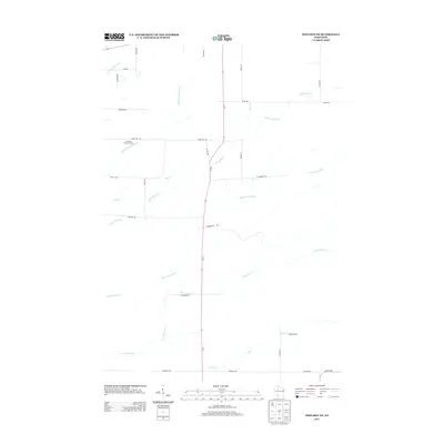
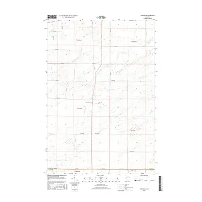
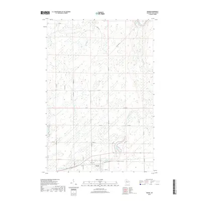
(20)- 2010 Map of Sheldon NE, 2010 Print
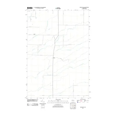 2010 Sheldon NE2010 Print · USGSCovers True, including Jump River, Ingram, and other nearby areas
 - 2010 Map of Tony, 2010 Print
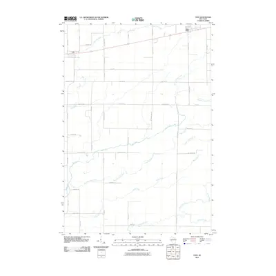 2010 Tony2010 Print · USGSCovers True, including Tony, Glen Flora, and other nearby areas
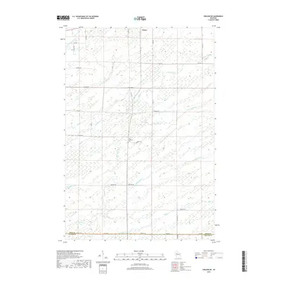
 - 2010 Map of Ingram, 2010 Print
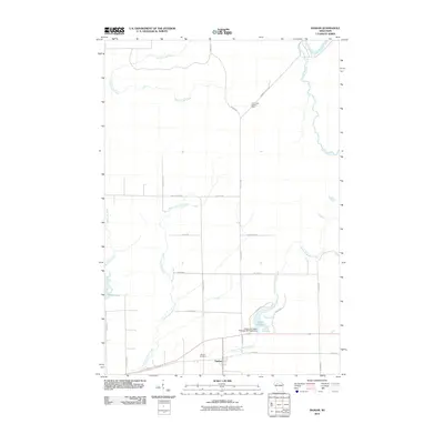 2010 Ingram2010 Print · USGSCovers True, including Ingram, South Fork, and other nearby areas
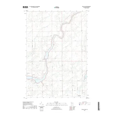
 - 2010 Map of Big Falls Dam, 2010 Print
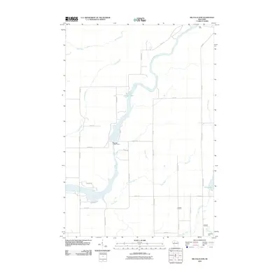 2010 Big Falls Dam2010 Print · USGSCovers True, including Glen Flora, Cedar Rapids, and other nearby areas
 - 2013 Map of Sheldon NE, 2013 Print
 2013 Sheldon NE2013 Print · USGSCovers True, including Jump River, Ingram, and other nearby areas
 - 2013 Map of Ingram, 2013 Print
 2013 Ingram2013 Print · USGSCovers True, including Ingram, South Fork, and other nearby areas
 - 2013 Map of Big Falls Dam, 2013 Print
 2013 Big Falls Dam2013 Print · USGSCovers True, including Glen Flora, Cedar Rapids, and other nearby areas
 - 2013 Map of Tony, 2013 Print
 2013 Tony2013 Print · USGSCovers True, including Tony, Glen Flora, and other nearby areas
 - 2015 Map of Sheldon NE, 2015 Print
 2015 Sheldon NE2015 Print · USGSCovers True, including Jump River, Ingram, and other nearby areas
 - 2015 Map of Ingram, 2015 Print
 2015 Ingram2015 Print · USGSCovers True, including Ingram, South Fork, and other nearby areas
 - 2015 Map of Big Falls Dam, 2015 Print
 2015 Big Falls Dam2015 Print · USGSCovers True, including Glen Flora, Cedar Rapids, and other nearby areas
 - 2015 Map of Tony, 2015 Print
 2015 Tony2015 Print · USGSCovers True, including Tony, Glen Flora, and other nearby areas
 - 2018 Map of Tony, 2018 Print
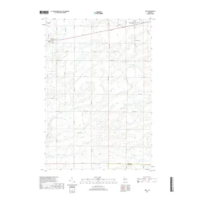 2018 Tony2018 Print · USGSCovers True, including Tony, Glen Flora, and other nearby areas
 - 2018 Map of Big Falls Dam, 2018 Print
 2018 Big Falls Dam2018 Print · USGSCovers True, including Glen Flora, Cedar Rapids, and other nearby areas
 - 2018 Map of Ingram, 2018 Print
 2018 Ingram2018 Print · USGSCovers True, including Ingram, South Fork, and other nearby areas
 - 2018 Map of Sheldon NE, 2018 Print
 2018 Sheldon NE2018 Print · USGSCovers True, including Jump River, Ingram, and other nearby areas
 - 2022 Map of Tony, 2022 Print
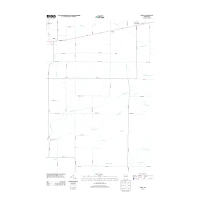
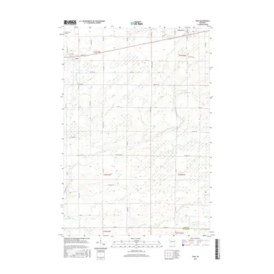
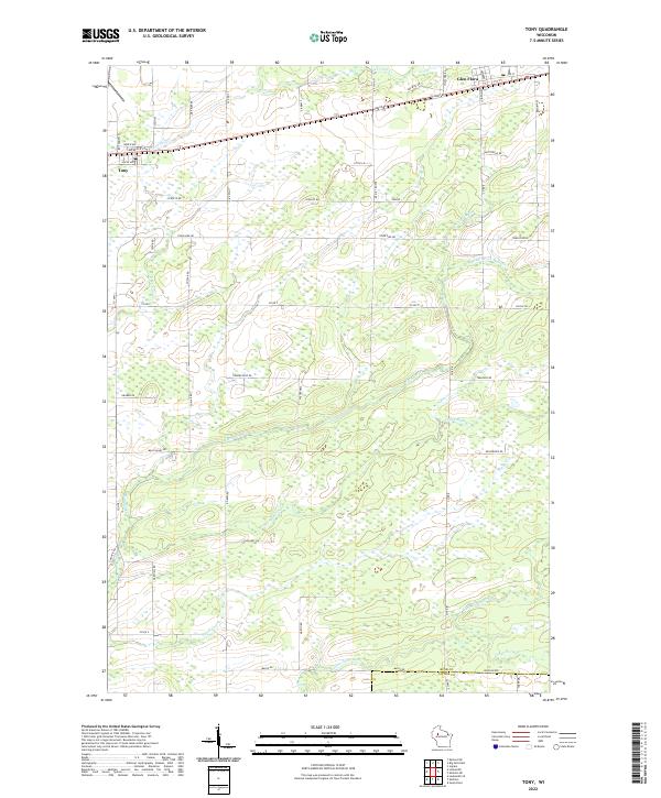 2022 Tony2022 Print · USGSTony and Glen Flora appear as established rural hubs in this 2020s survey of Rusk County's forested and agricultural lands. Researchers can trace the intricate network of the Main Creek and its many forks, alongside smaller watercourses like Skunk Cr and Crazy Horse Cr.
 - 2022 Map of Ingram, 2022 Print
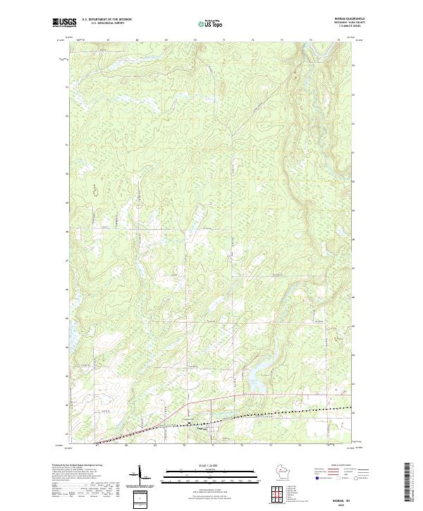 2022 Ingram2022 Print · USGSRusk County settlement and drainage patterns are recorded here as they appeared in the early 2020s. Genealogists and local historians can trace family-named routes and landmarks near Ingram, including Ingram Cem, Lake La Verne, and the Otter Slide Rapids.
 - 2022 Map of Sheldon NE, 2022 Print
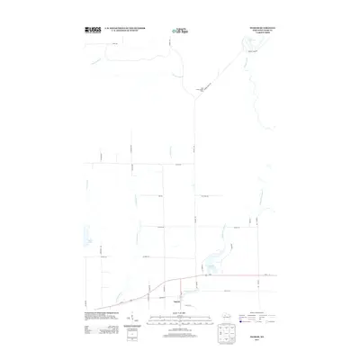
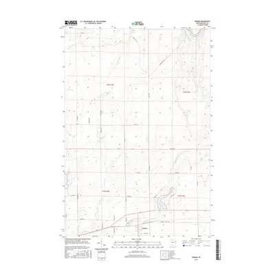
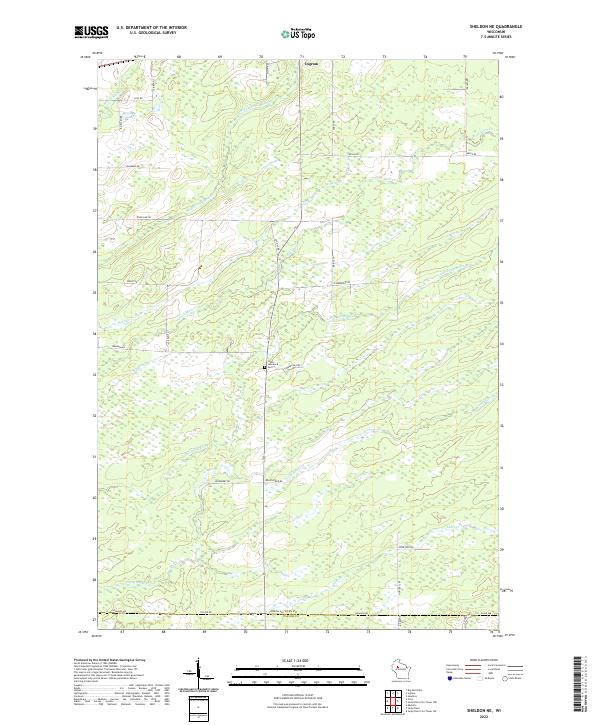 2022 Sheldon NE2022 Print · USGSRusk County’s wooded wetlands and creek systems are captured here in the early 2020s. Genealogists and local historians can trace family land-use near South Lawrence Cem and the small settlement of Ingram along the northern tributaries.
 - 2022 Map of Big Falls Dam, 2022 Print
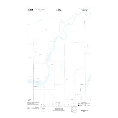
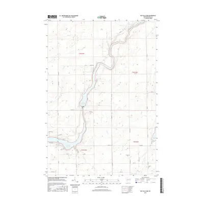
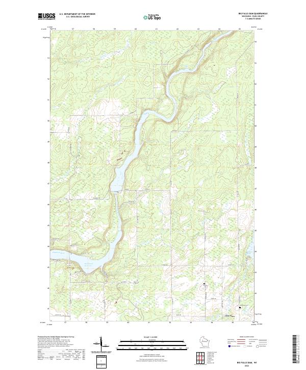 2022 Big Falls Dam2022 Print · USGSRusk County’s river-driven landscape is captured here in the early twenty-first century, centered on the Flambeau River and the Dairyland Reservoir. Genealogists and local historians can locate the Swedish Cem near Glen Flora and trace old logging-era landmarks like Beaver Dam Rapids.
End of results
Showing maps 1-20 of 20
Top cities near True
- Ladysmith historical maps
- Westboro historical maps
- Ruby historical maps
- Jump River historical maps
- Hawkins historical maps
- Sheldon historical maps
See more
Frequently asked questions
- What are the different types of historical maps available for True?
- What is the oldest map of True?
- Where can I purchase historical maps of True for my home or office?
- Where can I download high-res historical maps of True?
- Are there historical topographic maps available for True?
- Is there historical aerial imagery available for True?
- Where are historical maps of True sourced from?