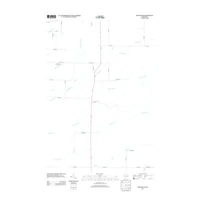
2013 Map of Sheldon NE
USGS Topo · Published 2013About this map
Lawrence Lookout Tower stands as a prominent navigational landmark in this rural landscape of northern Wisconsin, positioned near the headwaters of the Middle Fork Main Cr. The terrain is defined by a dense network of watercourses, including the Little Jump River and the descriptively named Crazy Horse Cr, which wind through the township. While primarily a region of timber and drainage, the grid of local roads like Town Line Rd and Voldberg Rd reveals the persistent structure of rural property boundaries. 73 serves as the primary north-south artery, bisecting the quadrangle and connecting the scattered crossings over S Fork Main Cr and Alder Cr. This 2013 survey provides a clear view of the modern road network, from Blueberry Rd to the southern boundary at Johnson Ave, overlaid on a landscape still heavily dictated by its complex hydrology.
Find a feature on this map
33 named features on this map. Tap any name to fly to it.
Don’t see what you’re looking for? This feature index may not catch every label — zoom into the map to look around manually.
Map Details
Editions of this 2013 Sheldon NE Map
This is the sole edition of this map. No revisions or reprints were ever made.
Other maps of this area

1941 · Kennan
USGS Topo · 1:48,000

1945 · Kennan
USGS Topo · 1:48,000

1945 · Black River
USGS Topo · 1:48,000

1945 · Ingram
USGS Topo · 1:48,000

1947 · Ingram
USGS Topo · 1:48,000

1947 · Sheldon
USGS Topo · 1:48,000

1949 · Sheldon
USGS Topo · 1:48,000

1949 · Jump River Fire Tower
USGS Topo · 1:48,000

1953 · Rice Lake
USGS Topo · 1:250,000

1959 · Rice Lake
USGS Topo · 1:250,000