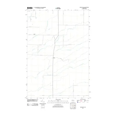
2010 Map of Sheldon NE
USGS Topo · Published 2010About this map
Little Jump River and Crazy Horse Creek define the drainage patterns of this rural Wisconsin landscape, where a dense network of local roads partitions the wooded and agricultural terrain. The map provides a clear look at the intersection of local history and land management through features such as the South Lawrence Cemetery and the Lawrence Lookout Tower. The layout of roads like Town Line Rd, Nessa Rd, and Walrath Rd suggests a community established on a rigid grid, even as the complex forks of Middle Fork Main Creek and South Fork Main Creek meander across the northern sections. This 2010 survey allows for the precise location of family-named landmarks and historical sites within the County Hwy MM corridor.
Find a feature on this map
28 named features on this map. Tap any name to fly to it.
Don’t see what you’re looking for? This feature index may not catch every label — zoom into the map to look around manually.
Map Details
Editions of this 2010 Sheldon NE Map
This is the sole edition of this map. No revisions or reprints were ever made.
Other maps of this area

1941 · Kennan
USGS Topo · 1:48,000

1945 · Kennan
USGS Topo · 1:48,000

1945 · Black River
USGS Topo · 1:48,000

1945 · Ingram
USGS Topo · 1:48,000

1947 · Ingram
USGS Topo · 1:48,000

1947 · Sheldon
USGS Topo · 1:48,000

1949 · Sheldon
USGS Topo · 1:48,000

1949 · Jump River Fire Tower
USGS Topo · 1:48,000

1953 · Rice Lake
USGS Topo · 1:250,000

1959 · Rice Lake
USGS Topo · 1:250,000