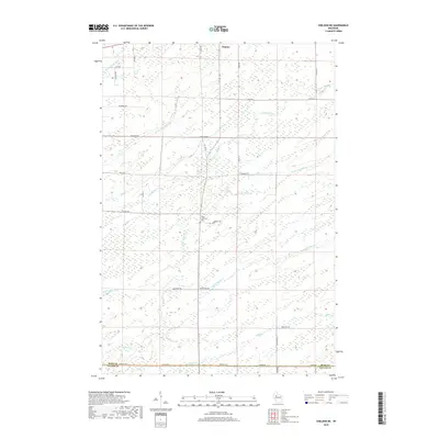
2018 Map of Sheldon NE
USGS Topo · Published 2018About this map
Ingram sits at the northern edge of this quadrangle, situated within a landscape defined by a dense network of watercourses and rural roads. The area is marked by the confluence of numerous streams, including the N Fork Main Cr, Middle Fork Main Cr, and S Fork Main Cr, which drain the wooded and wetland-rich terrain. Further south, the Little Jump River meanders eastward, joined by tributaries such as Crazy Horse Cr and Alder Cr.
Find a feature on this map
35 named features on this map. Tap any name to fly to it.
Don’t see what you’re looking for? This feature index may not catch every label — zoom into the map to look around manually.
Map Details
Editions of this 2018 Sheldon NE Map
This is the sole edition of this map. No revisions or reprints were ever made.
Other maps of this area

1941 · Kennan
USGS Topo · 1:48,000

1945 · Kennan
USGS Topo · 1:48,000

1945 · Black River
USGS Topo · 1:48,000

1945 · Ingram
USGS Topo · 1:48,000

1947 · Ingram
USGS Topo · 1:48,000

1947 · Sheldon
USGS Topo · 1:48,000

1949 · Sheldon
USGS Topo · 1:48,000

1949 · Jump River Fire Tower
USGS Topo · 1:48,000

1953 · Rice Lake
USGS Topo · 1:250,000

1959 · Rice Lake
USGS Topo · 1:250,000