2010s Maps of Franklin, Wisconsin
Explore 24 historic maps of Franklin from the 2010s. These maps offer a rare glimpse into what life looked like during the 2010s — showing old roads, neighborhoods, homes, and landmarks that have changed or disappeared over time.
Whether you're researching your family's past, planning a metal detecting trip, or studying how Franklin's landscape evolved across the 2010s, these high-resolution maps are a powerful tool for exploring the history of this region.
- Focus on a specific era: All maps on this page are from the 2010s, giving you a focused view of this time period.
- See what’s changed: Compare century-old streets, trails, and buildings to today's modern landscape using overlays and satellite layers.
- Research with precision: Use these maps for genealogy, historical research, land use analysis, or educational projects.
- View, download, or print: Maps are fully viewable online in high resolution, and can be downloaded or printed for your own records.
Start exploring Franklin's history through authentic maps from the 2010s. This is your window into the past.
Franklin, WI maps
(24)- 2010 Map of Spring Green, 2010 Print
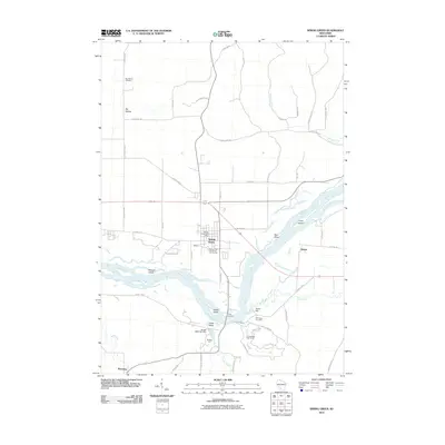 2010 Spring Green2010 Print · USGSThe Wisconsin River valley comes into focus in this late-aughts survey of the Spring Green area. Genealogists and local historians can trace family sites from Big Hollow to Helena, locating the Old Helena Cemetery and landmarks like Pecks Landing.
 - 2010 Map of Loganville, 2010 Print
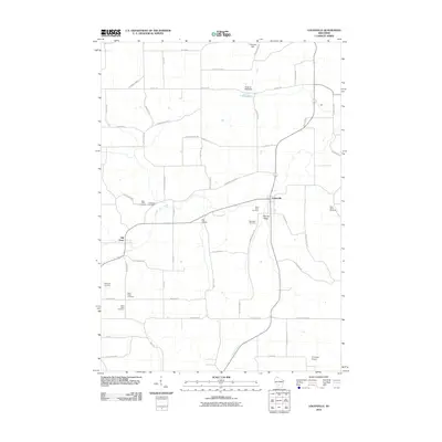 2010 Loganville2010 Print · USGSLoganville and Hill Point appear in this contemporary record of Sauk County's rural landscape. Researchers can trace numerous local burial grounds such as Saint Peter Cemetery or locate the Stolte G- 9668 Dam and Tri-Center Airport.
 - 2010 Map of Arena, 2010 Print
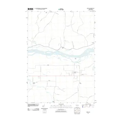 2010 Arena2010 Print · USGSIowa County’s riverfront landscape is documented here during the first decade of the millennium as the village of Arena centers a network of valley farms. Genealogists and local historians can trace family ties at the Arena Cemetery or locate landmarks like Coon Rock and Knight Hollow.
 - 2010 Map of Black Hawk, 2010 Print
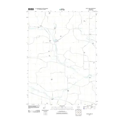 2010 Black Hawk2010 Print · USGSSauk County's rural landscape is captured here in the early twenty-first century, showing a network of small settlements and family farms. Researchers can locate the Free Thinkers Cemetery and trace the waters of Honey Creek past Leland Millpond and Pillar Rock.
 - 2010 Map of Rock Springs, 2010 Print
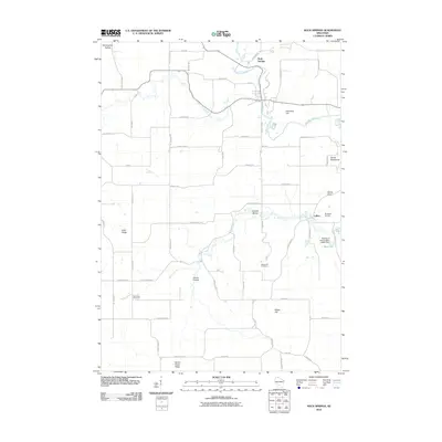 2010 Rock Springs2010 Print · USGSSauk County's rural character is preserved in this study of the communities around the Baraboo River and Rock Springs. Family historians can locate Maple Hill Cemetery or trace landmarks like Devils Chair and LaRue.
 - 2010 Map of Plain, 2010 Print
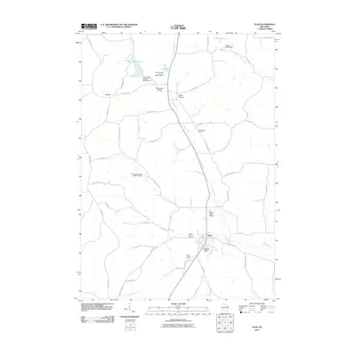 2010 Plain2010 Print · USGSThe village of Plain and the surrounding Sauk County countryside are captured here in the early twenty-first century. Genealogists can trace family plots at Saint Lukes Cemetery or explore the small settlements of Loreta and White Mound.
 - 2013 Map of Loganville, 2013 Print
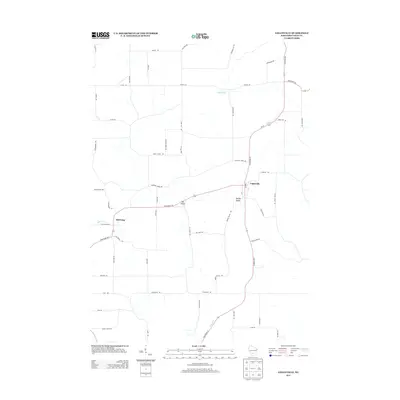 2013 Loganville2013 Print · USGSSauk County's rural heartland is documented here in the early twenty-first century, centered on the village of Loganville. Researchers can trace the layout of small communities like Hill Point and Ela Valley alongside distinctive landmarks like Peak Hill Rd.
 - 2013 Map of Plain, 2013 Print
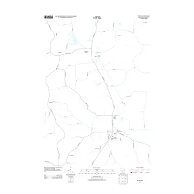 2013 Plain2013 Print · USGSSauk County's rural character is on full display in this early 21st-century record of the village of Plain and its surrounding valleys. Genealogists and local historians can trace the roads through Shannahan Valley or locate landmarks like White Mound Lake and Loreta.
 - 2013 Map of Spring Green, 2013 Print
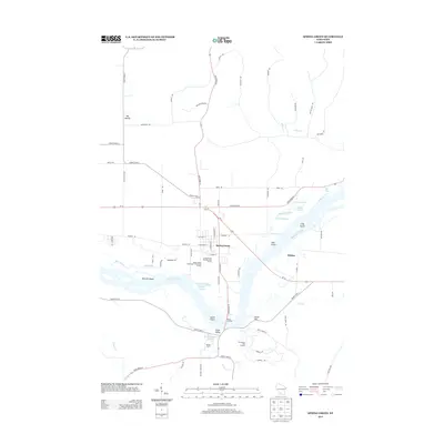 2013 Spring Green2013 Print · USGSThe Wisconsin River valley comes into sharp focus in this early twenty-first-century survey of the Spring Green area. Genealogists and local historians can trace the geography around Spring Green, the settlement at Helena, and landmarks like Pecks Landing and Tower Hill.
 - 2013 Map of Black Hawk, 2013 Print
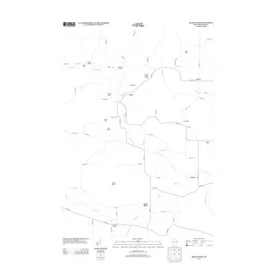 2013 Black Hawk2013 Print · USGSThe rural landscape of Sauk County is captured here in the early twenty-first century, showing the established agricultural communities along the Honey Cr. Genealogists and local historians can locate family landmarks such as Leland Natural Bridge, Dalkey Ridge, and the Leland Millpond.
 - 2013 Map of Arena, 2013 Print
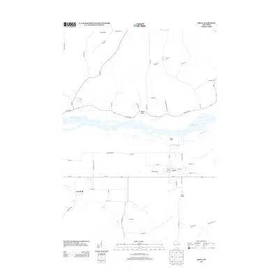 2013 Arena2013 Print · USGSThe village of Arena and its surrounding prairie land are captured here in the early twenty-first century. Researchers can trace the path of the Wisconsin River past Cedar Island or locate family landmarks near Coon Rock, Ray Hollow, and Point Bluff.
 - 2013 Map of Rock Springs, 2013 Print
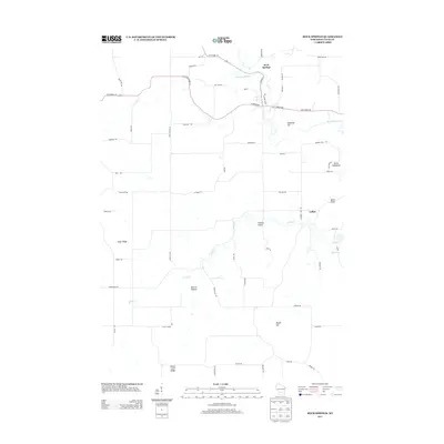 2013 Rock Springs2013 Print · USGSSauk County's rural landscape is captured here in the early twenty-first century as it centers on the Baraboo River. Genealogists and local historians can trace the roads around Rock Springs or locate landmarks like Devils Chair and LaRue.
 - 2016 Map of Plain, 2016 Print
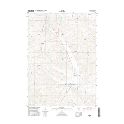 2016 Plain2016 Print · USGSSauk County's agricultural heartland is documented here in the mid-2010s, showing the enduring layout of rural townships and valley settlements. Researchers can trace family history at Saint Lukes Cem or explore the geography of Sugar Grove Valley and Irish Valley.
 - 2016 Map of Arena, 2016 Print
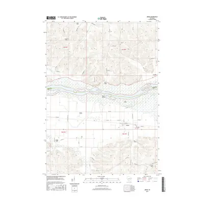 2016 Arena2016 Print · USGSThe Wisconsin River valley and its surrounding bluffs are shown here in the mid-2010s, centered on the village of Arena. Researchers can trace local burial sites at Arena Cem or explore the geography of Knight Hollow and the Arena Prairie.
 - 2016 Map of Black Hawk, 2016 Print
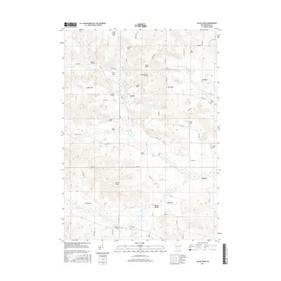 2016 Black Hawk2016 Print · USGSSauk County's intricate valley systems and small crossroads settlements are documented here in the early twenty-first century. Genealogists and hikers can trace family names and landmarks from Leland to Witwen, including the Free Thinkers Cem and Leland Natural Bridge.
 - 2016 Map of Rock Springs, 2016 Print
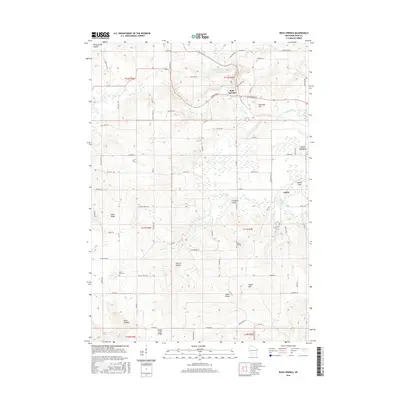 2016 Rock Springs2016 Print · USGSSauk County's river valleys and distinctive rocky ridges are shown here in the mid-2010s. Local researchers can trace family lands near Rock Springs or find burial sites at Saint Paul Cem and Maple Hill Cem.
 - 2016 Map of Spring Green, 2016 Print
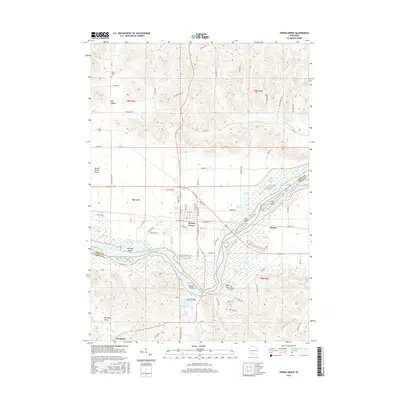 2016 Spring Green2016 Print · USGSThe Wisconsin River valley comes into focus in this mid-2010s survey of the Spring Green area. Genealogists and local historians can locate the Old Helena Cem, trace the reaches of Jones Valley, and explore river landmarks like Tower Hill and Metcalf Island.
 - 2016 Map of Loganville, 2016 Print
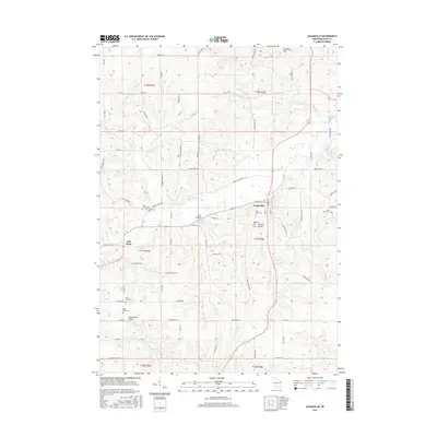 2016 Loganville2016 Print · USGSSauk County's rural townships are documented here in the mid-2010s, showing a landscape of deep valleys and family-named landmarks. Researchers can locate numerous historic burial sites like Saint Pauls Cem and Tuckertown Cem near settlements such as Hill Point.
 - 2018 Map of Spring Green, 2018 Print
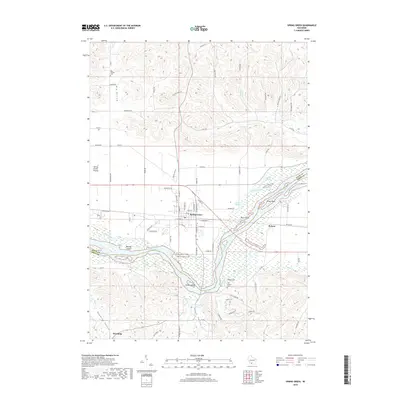 2018 Spring Green2018 Print · USGSThe Wisconsin River valley comes alive in this 2018 survey of the islands and sloughs near the Sauk and Iowa county line. Genealogists and local historians can trace family ties at the Big Hollow Cem or explore the riverfront near Tower Hill and Lower Taliesin.
 - 2018 Map of Plain, 2018 Print
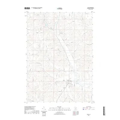 2018 Plain2018 Print · USGSSauk County's rural landscape is captured here in the late twenty-tens, showing the enduring agricultural patterns around Plain. Researchers can trace local heritage through landmarks like Saint Lukes Cem, White Mound Lake, and the small settlement of Loreta.
 - 2018 Map of Loganville, 2018 Print
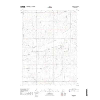 2018 Loganville2018 Print · USGSSauk County's rural heartland is preserved here in the late 2010s, showcasing a landscape of fertile valleys and tight-knit settlements. Researchers can pinpoint historic burial grounds like Tuckertown Cem and Saint Peter Cem or trace the winding paths of Narrows Creek and Ela Valley.
 - 2018 Map of Rock Springs, 2018 Print
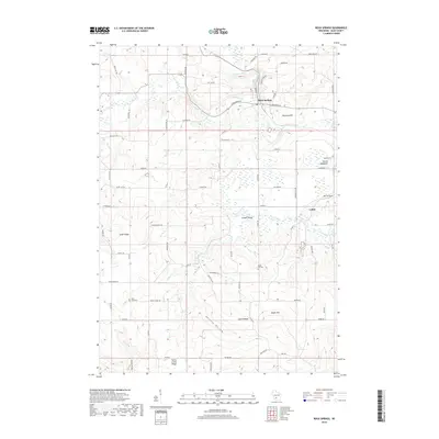 2018 Rock Springs2018 Print · USGSSauk County's rural heartland is documented here in the late 2010s, centered on the river junction at Rock Springs. Genealogists and local researchers can trace family landmarks like Maple Hill Cem and Saint Paul Cem or the small settlement of LaRue.
 - 2018 Map of Arena, 2018 Print
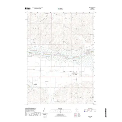 2018 Arena2018 Print · USGSThe Wisconsin River valley and the southern village of Arena are documented here during the late 2010s. Local researchers can trace family roots at Davis Cem and Arena Cem, or explore the geography of Arena Prairie and Knight Valley.
 - 2018 Map of Black Hawk, 2018 Print
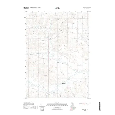 2018 Black Hawk2018 Print · USGSSauk County's driftless terrain is captured here in the late twenty-teens, showing a landscape of deep hollows and prairie settlements. Genealogists and hikers can trace landmarks like the Free Thinkers Cem, the Leland Natural Bridge, and the waters of the Leland Millpond.
End of results
Showing maps 1-24 of 24
Top cities near Franklin
- Reedsburg historical maps
- Spring Green historical maps
- Lone Rock historical maps
- Arena historical maps
- Plain historical maps
- Ithaca historical maps
See more
Frequently asked questions
- What are the different types of historical maps available for Franklin?
- What is the oldest map of Franklin?
- Where can I purchase historical maps of Franklin for my home or office?
- Where can I download high-res historical maps of Franklin?
- Are there historical topographic maps available for Franklin?
- Is there historical aerial imagery available for Franklin?
- Where are historical maps of Franklin sourced from?