2000s (21st Century) Maps of Greenwood, Wisconsin
Explore 31 historic maps of Greenwood from the 2000s (21st Century). These maps offer a rare glimpse into what life looked like during the 2000s — showing old roads, neighborhoods, homes, and landmarks that have changed or disappeared over time.
Whether you're researching your family's past, planning a metal detecting trip, or studying how Greenwood's landscape evolved across the 2000s, these high-resolution maps are a powerful tool for exploring the history of this region.
- Focus on a specific era: All maps on this page are from the 2000s, giving you a focused view of this time period.
- See what’s changed: Compare century-old streets, trails, and buildings to today's modern landscape using overlays and satellite layers.
- Research with precision: Use these maps for genealogy, historical research, land use analysis, or educational projects.
- View, download, or print: Maps are fully viewable online in high resolution, and can be downloaded or printed for your own records.
Start exploring Greenwood's history through authentic maps from the 2000s. This is your window into the past.
Greenwood, WI maps
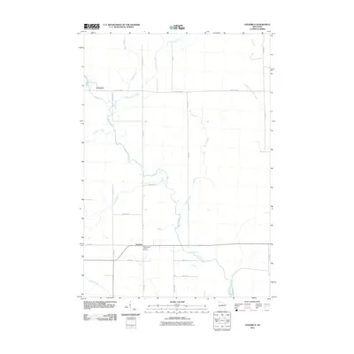
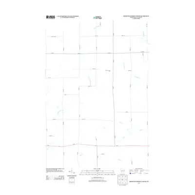
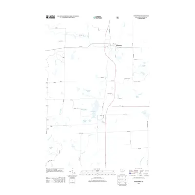
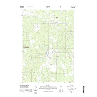
(31)- 2005 Map of Westboro, 2006 Print
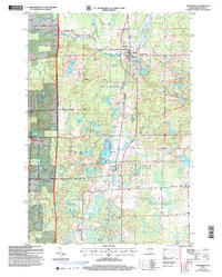 2005 Westboro2006 Print · USGSTaylor County's lake-strewn timberland is captured here at the start of the millennium, showing the transition from forest to settlement. Researchers can locate family sites near Westboro, Mount Olive Cem, and the path of the Ice Age National Scenic Trail.
 - 2010 Map of Wood Lake, 2010 Print
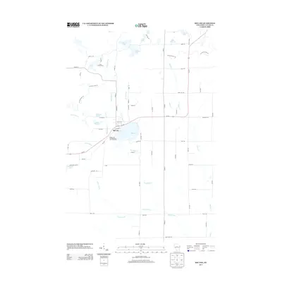
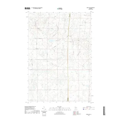
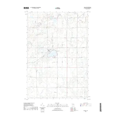
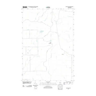 2010 Wood Lake2010 Print · USGSCovers Greenwood, including Corning, Rib Lake, and other nearby areas
 - 2010 Map of Rib River Lookout Tower, 2010 Print
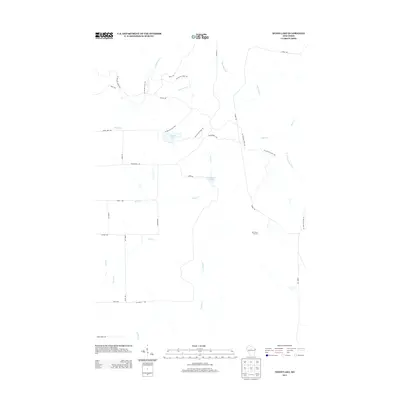
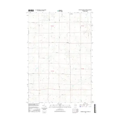
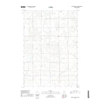
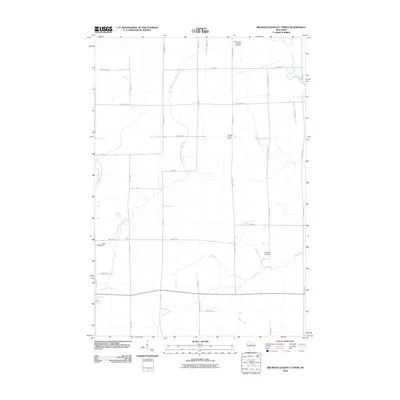 2010 Rib River Lookout Tower2010 Print · USGSCovers Greenwood, including Goodrich, Browning, and other nearby areas
 - 2010 Map of Rib Lake, 2010 Print
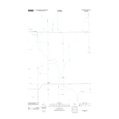
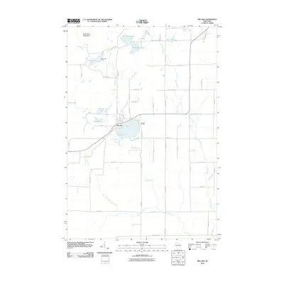 2010 Rib Lake2010 Print · USGSCovers Greenwood, including Rib Lake, Westboro, and other nearby areas
 - 2010 Map of Goodrich, 2010 Print
 2010 Goodrich2010 Print · USGSCovers Greenwood, including Goodrich, Corning, and other nearby areas
 - 2011 Map of Westboro, 2011 Print
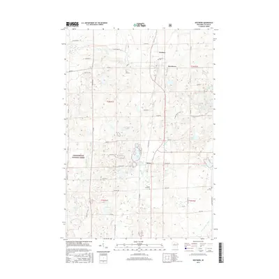
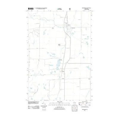 2011 Westboro2011 Print · USGSCovers Greenwood, including Chelsea, Westboro, and other nearby areas
 - 2011 Map of Medford, 2011 Print
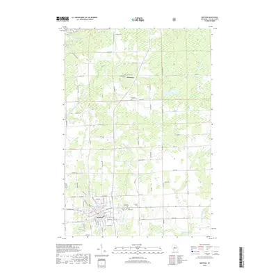
 2011 Medford2011 Print · USGSCovers Greenwood, including Medford, Chelsea, and other nearby areas
 - 2013 Map of Medford, 2013 Print
 2013 Medford2013 Print · USGSCovers Greenwood, including Medford, Chelsea, and other nearby areas
 - 2013 Map of Rib River Lookout Tower, 2013 Print
 2013 Rib River Lookout Tower2013 Print · USGSCovers Greenwood, including Goodrich, Browning, and other nearby areas
 - 2013 Map of Rib Lake, 2013 Print
 2013 Rib Lake2013 Print · USGSCovers Greenwood, including Rib Lake, Westboro, and other nearby areas
 - 2013 Map of Wood Lake, 2013 Print
 2013 Wood Lake2013 Print · USGSCovers Greenwood, including Corning, Rib Lake, and other nearby areas
 - 2013 Map of Goodrich, 2013 Print
 2013 Goodrich2013 Print · USGSCovers Greenwood, including Goodrich, Corning, and other nearby areas
 - 2013 Map of Westboro, 2013 Print
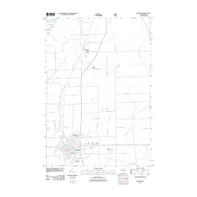
 2013 Westboro2013 Print · USGSCovers Greenwood, including Chelsea, Westboro, and other nearby areas
 - 2015 Map of Medford, 2015 Print
 2015 Medford2015 Print · USGSCovers Greenwood, including Medford, Chelsea, and other nearby areas
 - 2015 Map of Rib Lake, 2015 Print
 2015 Rib Lake2015 Print · USGSCovers Greenwood, including Rib Lake, Westboro, and other nearby areas
 - 2015 Map of Wood Lake, 2015 Print
 2015 Wood Lake2015 Print · USGSCovers Greenwood, including Corning, Rib Lake, and other nearby areas
 - 2015 Map of Goodrich, 2015 Print
 2015 Goodrich2015 Print · USGSCovers Greenwood, including Goodrich, Corning, and other nearby areas
 - 2015 Map of Rib River Lookout Tower, 2015 Print
 2015 Rib River Lookout Tower2015 Print · USGSCovers Greenwood, including Goodrich, Browning, and other nearby areas
 - 2015 Map of Westboro, 2015 Print
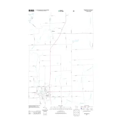
 2015 Westboro2015 Print · USGSCovers Greenwood, including Chelsea, Westboro, and other nearby areas
 - 2018 Map of Wood Lake, 2018 Print
 2018 Wood Lake2018 Print · USGSCovers Greenwood, including Corning, Rib Lake, and other nearby areas
 - 2018 Map of Westboro, 2018 Print
 2018 Westboro2018 Print · USGSCovers Greenwood, including Chelsea, Westboro, and other nearby areas
 - 2018 Map of Rib River Lookout Tower, 2018 Print
 2018 Rib River Lookout Tower2018 Print · USGSCovers Greenwood, including Goodrich, Browning, and other nearby areas
 - 2018 Map of Goodrich, 2018 Print
 2018 Goodrich2018 Print · USGSCovers Greenwood, including Goodrich, Corning, and other nearby areas
 - 2018 Map of Medford, 2018 Print
 2018 Medford2018 Print · USGSCovers Greenwood, including Medford, Chelsea, and other nearby areas
 - 2018 Map of Rib Lake, 2018 Print
 2018 Rib Lake2018 Print · USGSCovers Greenwood, including Rib Lake, Westboro, and other nearby areas
Showing maps 1-25 of 31
Top cities near Greenwood
- Medford historical maps
- Little Black historical maps
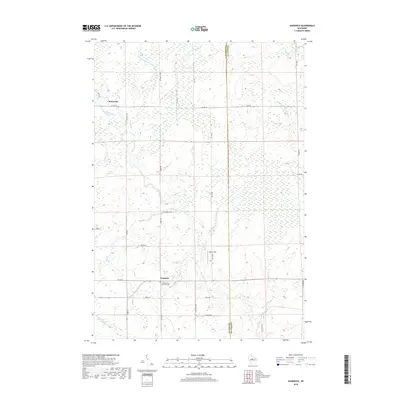
- Athens historical maps
- Hamburg historical maps
- Ogema historical maps
- Rib Lake historical maps
See more
Top neighborhoods of Greenwood
Frequently asked questions
- What are the different types of historical maps available for Greenwood?
- What is the oldest map of Greenwood?
- Where can I purchase historical maps of Greenwood for my home or office?
- Where can I download high-res historical maps of Greenwood?
- Are there historical topographic maps available for Greenwood?
- Is there historical aerial imagery available for Greenwood?
- Where are historical maps of Greenwood sourced from?