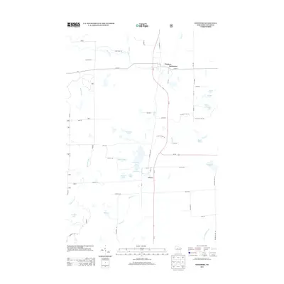
2013 Map of Westboro
USGS Topo · Published 2013About this map
Glacial topography and the Northwoods water network define this Taylor County landscape, where the Ice Age Natl Scenic Trl winds through a dense cluster of kettle lakes and marshes. The settlement patterns are anchored by Westboro, Queenstown, and Chelsea, which align with the historical transportation corridor of Bus Highway 13 and the winding course of Silver Creek. These small communities serve as gateways to a complex hydrology, including the headwaters of the Black River and the meandering Mondeaux River to the west. The map captures a transition between residential development and the wooded shoreline of various named water bodies such as Half Moon Lake, Chelsea Lake, and Wellington Lake. Local thoroughfares like Settlement Dr and Cemetery Ave offer specific touchpoints for genealogists and researchers tracking the rural footprint of these Wisconsin towns in the early 21st century.
Find a feature on this map
58 named features on this map. Tap any name to fly to it.
Don’t see what you’re looking for? This feature index may not catch every label — zoom into the map to look around manually.
Map Details
Editions of this 2013 Westboro Map
This is the sole edition of this map. No revisions or reprints were ever made.
Other maps of this area

1902 · Marathon
USGS Topo · 1:125,000

1944 · Ogema
USGS Topo · 1:48,000

1945 · Rib Lake
USGS Topo · 1:48,000

1947 · Rib Lake
USGS Topo · 1:48,000

1947 · Ogema
USGS Topo · 1:48,000

1949 · Ogema
USGS Topo · 1:48,000

1949 · Rib Lake
USGS Topo · 1:48,000

1951 · Athens
USGS Topo · 1:48,000

1951 · Medford
USGS Topo · 1:48,000

1953 · Rice Lake
USGS Topo · 1:250,000