Old Maps of Jump River, Wisconsin for Hiking & Exploration
Hike through history with 33 historic maps of Jump River. Explore old trails, ghost towns, and forgotten backroads — perfect for outdoor adventurers and local explorers.
- Rediscover forgotten places: Map out old mining camps, roads, and footpaths that no longer exist on modern maps.
- Layer with modern tools: Combine with LiDAR or satellite views to plan hikes through historical terrain.
- Made for exploration: Popular among hikers, overlanders, and local history lovers.
Use these maps to find adventure and explore the hidden past of Jump River.
Jump River, WI maps
(33)- 1945 Map of Black River
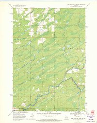
 1945 Black River1945 Print · USGSNorthern Wisconsin's river systems and rural school districts are documented here just after the war years. Local historians can locate vanished landmarks like the Red Tile Sch, Meadow Creek Sch, and the early boundaries of the Chequamegon National Forest.
 - 1947 Map of Sheldon, 1967 Print
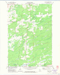
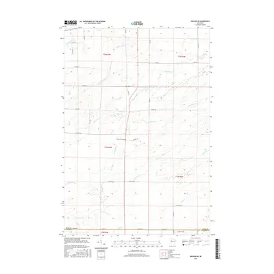
 1947 Sheldon1967 Print · USGSRusk and Taylor counties come into focus in the late 1940s, showing a landscape of river-valley settlements and timber management. Genealogists and historians can locate dozens of country schools and churches, from Sheldon to the Mt Nebo Cem and Hannibal.
 - 1949 Map of Sheldon
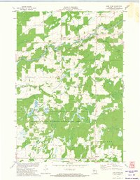
 1949 Sheldon1949 Print · USGSRusk and Taylor counties come into focus during the late 1940s, showing a landscape defined by small rail towns and scattered district schools. You can locate family-named landmarks like Baughman School or trace the early paths of the Jump River and Main Creek.
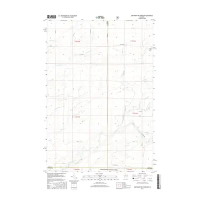
 - 1949 Map of Jump River Fire Tower
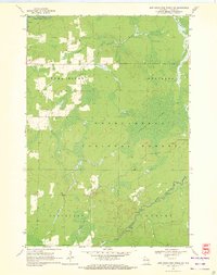
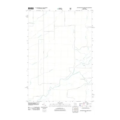
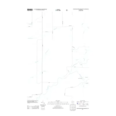
 1949 Jump River Fire Tower1949 Print · USGSThe dense forests and winding river forks of Price, Rusk, and Taylor counties are captured here in the years following World War II. Local historians can locate isolated rural landmarks like the Jump River Fire Tower, Red Tile Sch, and Lost Lake.
 - 1953 Map of Rice Lake, 1967 Print
 1953 Rice Lake1967 Print · USGSNorthwest Wisconsin during the mid-fifties reveals a landscape defined by timber, rail, and water. Genealogists and historians can trace the development of river towns like Ladysmith and Rice Lake along the Soo Line and Chicago and North Western railroads.2 unique versions available
 - 1959 Map of Rice Lake
 1959 Rice Lake1959 Print · USGSNorthwest Wisconsin in the late fifties was a land of expanding road networks and deep-seated timber history. Genealogists and historians can trace rail lines like the Soo Line RR and Chicago St Paul Minneapolis and Omaha Ry as they link settlements from Spooner to Medford.
 - 1970 Map of Jump River Fire Tower NW, 1972 Print
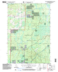
 1970 Jump River Fire Tower NW1972 Print · USGSThe Northwoods of Rusk and Price counties are documented here in the early 1970s, showing a landscape shaped by winding river systems and old timber routes. Trace the path of the Old Railroad Grade or locate historic recreation spots like Big Falls and Big Falls Campground.3 unique versions available
 - 1970 Map of Jump River Fire Tower SW, 1972 Print
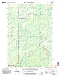
 1970 Jump River Fire Tower SW1972 Print · USGSTaylor County forest lands and river valleys are captured here in the early 1970s. Local historians can trace the Old Railroad Grade and identify the numerous rapids along the Jump River and Yellow River.2 unique versions available
 - 1971 Map of Jump River, 1974 Print
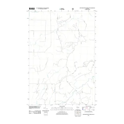
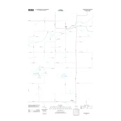
 1971 Jump River1974 Print · USGSJump River and Hannibal are documented in the early 1970s as this Taylor County landscape transitioned toward conservation and wildlife management. Researchers can trace the Old Railroad Grade, locate the Mt Nebo Cem, and see the extent of the Monson Flowage.
 - 1971 Map of Sheldon NE, 1974 Print
 1971 Sheldon NE1974 Print · USGSRusk and Taylor Counties in the early 1970s reveal a landscape of winding river systems and small civic outposts. Genealogists and local historians can locate the South Lawrence Cemetery, the Townhall, and traces of an Old Railroad Grade.
 - 1980 Map of Medford
 1980 Medford1980 Print · USGSNorth-central Wisconsin in the early eighties shows a landscape of dense timber and rail-linked settlements. Genealogists and historians can trace the Soo Line through towns like Medford and Westboro or locate family homesteads near Perkinstown and Athens.
 - 2005 Map of Jump River Fire Tower SW, 2006 Print
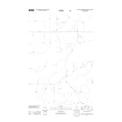
 2005 Jump River Fire Tower SW2006 Print · USGSTaylor County forest lands are captured here during the early 2000s, showcasing a landscape defined by the Forest Service. Researchers can trace the winding paths of the Jump River and Yellow River or locate the boundaries of Kidby Swamp.
 - 2005 Map of Jump River Fire Tower NW, 2006 Print
 2005 Jump River Fire Tower NW2006 Print · USGSThe wooded borderlands of Rusk and Price counties are captured here in the early 2000s, showing a landscape shaped by the Jump River and its many forks. Genealogists and local historians can trace the rural road network including Big Falls Road and the timber-rich reaches of the Chequamegon-Nicolet National Forest.
 - 2010 Map of Sheldon NE, 2010 Print
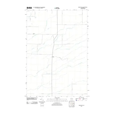 2010 Sheldon NE2010 Print · USGSCovers Jump River, including Ingram, Lawrence, and other nearby areas
 - 2010 Map of Jump River, 2010 Print
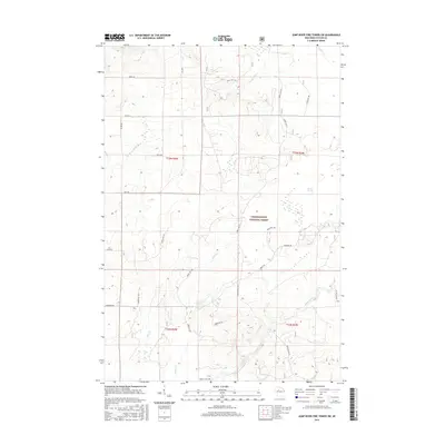
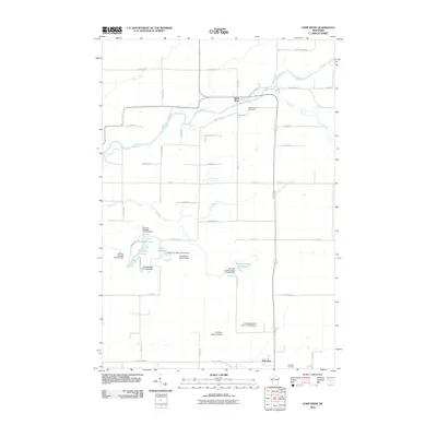 2010 Jump River2010 Print · USGSCovers Jump River, including Cleveland, Pershing, and other nearby areas
 - 2011 Map of Jump River Fire Tower NW, 2011 Print
 2011 Jump River Fire Tower NW2011 Print · USGSCovers Jump River, including Westboro, Kennan, and other nearby areas
 - 2011 Map of Jump River Fire Tower SW, 2011 Print
 2011 Jump River Fire Tower SW2011 Print · USGSCovers Jump River, including Westboro, Cleveland, and other nearby areas
 - 2013 Map of Jump River Fire Tower SW, 2013 Print
 2013 Jump River Fire Tower SW2013 Print · USGSCovers Jump River, including Westboro, Cleveland, and other nearby areas
 - 2013 Map of Sheldon NE, 2013 Print
 2013 Sheldon NE2013 Print · USGSCovers Jump River, including Ingram, Lawrence, and other nearby areas
 - 2013 Map of Jump River Fire Tower NW, 2013 Print
 2013 Jump River Fire Tower NW2013 Print · USGSCovers Jump River, including Westboro, Kennan, and other nearby areas
 - 2013 Map of Jump River, 2013 Print
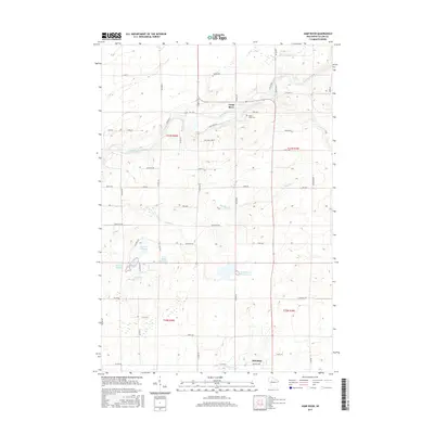
 2013 Jump River2013 Print · USGSCovers Jump River, including Cleveland, Pershing, and other nearby areas
 - 2015 Map of Jump River Fire Tower SW, 2015 Print
 2015 Jump River Fire Tower SW2015 Print · USGSCovers Jump River, including Westboro, Cleveland, and other nearby areas
 - 2015 Map of Jump River, 2015 Print
 2015 Jump River2015 Print · USGSCovers Jump River, including Cleveland, Pershing, and other nearby areas
 - 2015 Map of Jump River Fire Tower NW, 2015 Print
 2015 Jump River Fire Tower NW2015 Print · USGSCovers Jump River, including Westboro, Kennan, and other nearby areas
 - 2015 Map of Sheldon NE, 2015 Print
 2015 Sheldon NE2015 Print · USGSCovers Jump River, including Ingram, Lawrence, and other nearby areas
Showing maps 1-25 of 33
Top cities near Jump River
- Ogema historical maps
- Colburn historical maps
- Westboro historical maps
- Gilman historical maps
- Ruby historical maps
- Maplehurst historical maps
See more
Frequently asked questions
- What are the different types of historical maps available for Jump River?
- What is the oldest map of Jump River?
- Where can I purchase historical maps of Jump River for my home or office?
- Where can I download high-res historical maps of Jump River?
- Are there historical topographic maps available for Jump River?
- Is there historical aerial imagery available for Jump River?
- Where are historical maps of Jump River sourced from?