Old Maps of Jefferson, Wisconsin for Genealogy
Trace your family roots with 36 historic maps of Jefferson. These high-res maps reveal old neighborhoods, homesites, landmarks, and streets — helping you uncover where your ancestors lived and how the area evolved over time.
- Explore historic neighborhoods: Identify where your relatives may have lived in the 1800s or 1900s.
- Compare maps over time: Trace the changes in streets, buildings, and landmarks for multi-generational research.
- Perfect for genealogy & ancestry research: Used by family historians and researchers to map out lineage and migration.
These maps are an incredible resource for exploring your personal connection to Jefferson's past.
Jefferson, WI maps
(36)- 1923 Map of Viroqua, 1960 Print
 1923 Viroqua1960 Print · USGSViroqua and the rural townships of Vernon and Monroe counties are shown in the early 1920s as a thriving network of ridge-top farms and valley schools. Genealogists can locate family landmarks like Wang Church, the Vernon County Asylum, and the Clockmaker School.
 - 1926 Map of Stoddard
 1926 Stoddard1926 Print · USGSUpper Mississippi river life and ridge-top farming meet in the mid-1920s along the Wisconsin-Minnesota border. Researchers can trace the complex river channels near Stoddard or find family roots at rural landmarks like Evening Star School and Romance.2 unique versions available
 - 1926 Map of Viroqua
 1926 Viroqua1926 Print · USGSThe ridge-and-valley country of Vernon County is captured in the mid-1920s, showing a landscape of small farms connected by a vast network of rural schools. Genealogists can trace hundreds of family sites near Clockmaker School, Moen Church, and the Vernon County Asylum.2 unique versions available
 - 1958 Map of La Crosse, 1979 Print
 1958 La Crosse1979 Print · USGSThe Driftless Area of Wisconsin and Iowa is captured here during the late seventies, showing the intricate river valleys and ridge-top settlements. Genealogists and historians can trace the rail corridors of the Soo Line or locate landmarks like Grandad Bluff and Effigy Mounds National Monument.2 unique versions available
 - 1961 Map of La Crosse
 1961 La Crosse1961 Print · USGSThe Driftless Area at the start of the 1960s reveals a complex network of river towns and rail lines along the Mississippi River. Genealogists and historians can trace old settlements like New Amsterdam and Wyattville or locate major landmarks like Camp McCoy Military Reservation and Effigy Mounds National Monument.
 - 1965 Map of La Crosse
 1965 La Crosse1965 Print · USGSThe Driftless Area and the Upper Mississippi valley are captured here during a period of steady mid-century growth. Researchers can trace the rail lines of the Chicago and North Western or locate riverfront sites like Effigy Mounds National Monument and the Camp McCoy Military Reservation.
 - 1965 Map of Viroqua, 1967 Print
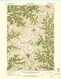 1965 Viroqua1967 Print · USGSVernon County ridge country is captured in the mid-1960s, showing the agricultural heart of the Driftless Area. Genealogists and historians can locate family landmarks like Bethel Ch Cem, rural schools such as Smith Sch, and the winding Kickapoo River valley.2 unique versions available
 - 1965 Map of Stoddard, 1968 Print
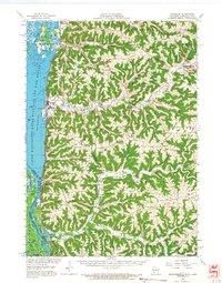 1965 Stoddard1968 Print · USGSWisconsin's driftless coulee country and the Mississippi River islands are captured here in the mid-sixties. Genealogists and local historians can trace rural family life through landmarks like St Peters Ch, North Ridge Sch, and the isolated German Cem.
 - 1976 Map of La Crosse
 1976 La Crosse1976 Print · USGSThe Driftless Area and Mississippi River valley are captured here in the mid-seventies, showing a landscape of deep coulees and river commerce. Genealogists can trace family footprints from La Crosse to smaller hamlets like Newburg Corners and Witoka.
 - 1983 Map of Coon Valley
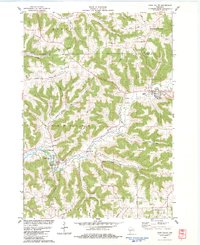 1983 Coon Valley1983 Print · USGSThe Driftless Area of western Wisconsin is shown here in the early 1980s, featuring the ridge-and-valley terrain of the Vernon County border. Researchers can trace rural lineages at the Middle Coon Valley Cem or locate the Chaseburg Sch and Wayside Park.
 - 1983 Map of Newton
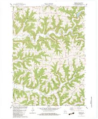 1983 Newton1983 Print · USGSNewton and the surrounding Vernon County ridges are shown in high detail during the early eighties. Genealogists and local historians can trace family-named landmarks like Lars Anderson Hollow and rural congregations at Zion Ch or Bad Axe Ch.
 - 1983 Map of Viroqua
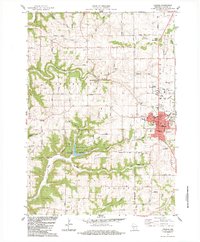 1983 Viroqua1983 Print · USGSIn the early 1980s, the driftless hills of Vernon County were a network of ridge-top farms and valley settlements. Genealogists can trace family names and locations at Pioneer Cem, Bethel Ch, and the County Farm Cem near Viroqua.2 unique versions available
 - 1983 Map of Esofea
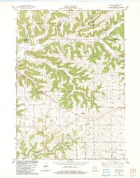 1983 Esofea1983 Print · USGSVernon County's coulee country in the early eighties shows a landscape of deep valleys and high ridges settled by farming families. Genealogists can trace local roots through landmarks like Skogdalen Ch, the Pumpkin Hollow area, and the small settlement of Esofea.2 unique versions available
 - 1984 Map of La Crosse, 1985 Print
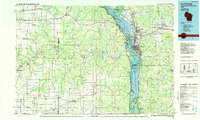 1984 La Crosse1985 Print · USGSThe Driftless Area of the upper Mississippi valley appears here in the mid-eighties, showing the tri-state intersections of Wisconsin, Minnesota, and Iowa. Genealogists and local historians can trace family-named landmarks such as Peacock Ridge or Prosch Coulee and locate rural landmarks like St Marys Ch.
 - 1985 Map of Sparta
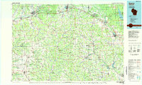 1985 Sparta1985 Print · USGSWestern Wisconsin in the 1980s shows the unique ridge-and-valley terrain of the Driftless Area during a period of transition for its rails and rural hubs. Trace the historic rail tunnels of the Elroy-Sparta State Trail and find local landmarks like St Marys Ch and Castle Rock Lake.2 unique versions available
 - 1990 Map of La Crosse, 1991 Print
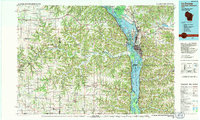 1990 La Crosse1991 Print · USGSThe tri-state river valley at the end of the twentieth century shows a landscape defined by the Mississippi River and heavy rail. Trace the paths of the Soo Line and Burlington Northern through river towns like Brownsville and La Crescent.
 - 2010 Map of Viroqua, 2010 Print
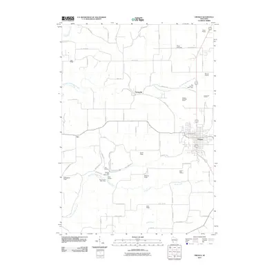 2010 Viroqua2010 Print · USGSVernon County at the start of the 2010s reveals a landscape defined by its high ridges and deep river valleys. Genealogists can locate family landmarks such as Pioneer Cemetery, trace the winding Hornby Creek, and study the rural layout of Springville and Coon Prairie.
 - 2010 Map of Esofea, 2010 Print
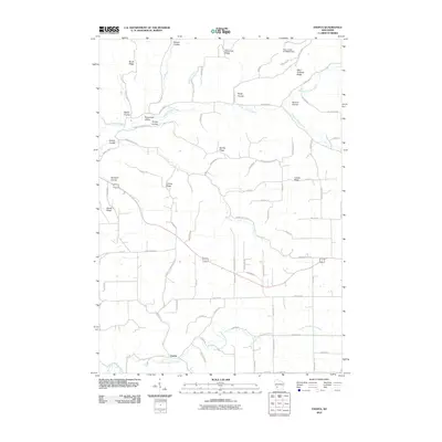 2010 Esofea2010 Print · USGSWisconsin's driftless region comes to life in this modern-era study of the ridges and coulees around the Esofea settlement. Researchers can trace family-named landmarks and rural routes through Bohemian Valley, Lindvig Ridge, and along the North Fork Bad Axe River.
 - 2010 Map of Newton, 2010 Print
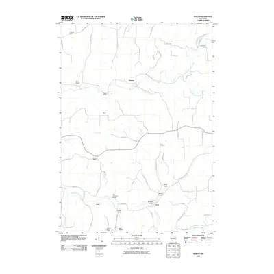 2010 Newton2010 Print · USGSThe Vernon County hills come into focus in the early twenty-first century, showing the intricate ridges and valleys of the Bad Axe River watershed. Researchers can trace family history through landmarks like Haukley Cemetery, Zion Cemetery, and Lars Anderson Hollow.
 - 2010 Map of Coon Valley, 2010 Print
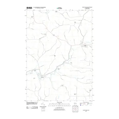 2010 Coon Valley2010 Print · USGSVernon County at the turn of the decade displays the classic Driftless Area landscape of steep ridges and deep coulees. Researchers can trace family history through the Hellwig and Krause burial grounds or follow the winding paths of Coon Creek and Hasley Creek.
 - 2013 Map of Esofea, 2013 Print
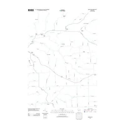 2013 Esofea2013 Print · USGSVernon County ridge country is displayed here in the early twenty-first century, showing the enduring settlement patterns of the Driftless Area. Genealogists and local historians can trace family-named landmarks such as Lovaas Ridge, Rundahl Coulee, and the small community of Esofea.
 - 2013 Map of Coon Valley, 2013 Print
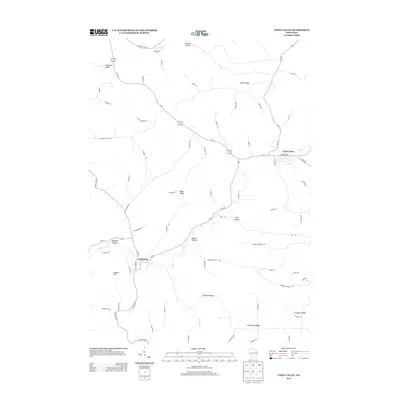 2013 Coon Valley2013 Print · USGSCoon Valley and Chaseburg are captured in this recent survey of Wisconsin's ridge-and-valley landscape. Researchers can trace family-named landmarks and rural routes along Brinkman Ridge, Coon Cr, and the deep pocket of Dodson Hollow.
 - 2013 Map of Newton, 2013 Print
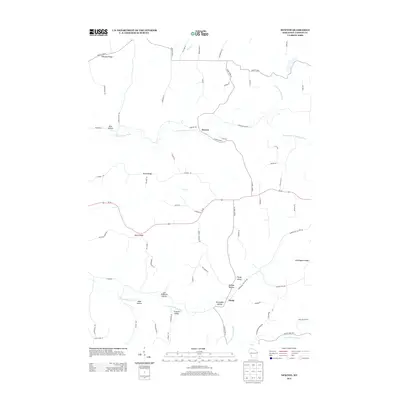 2013 Newton2013 Print · USGSVernon County's distinctive Driftless Area terrain is shown here in the early twenty-first century, defined by its steep ridges and narrow valleys. Genealogists and local historians can trace family-named landmarks like Lars Anderson Hollow and Frohock Valley or locate the settlements of Newton and Purdy.
 - 2013 Map of Viroqua, 2013 Print
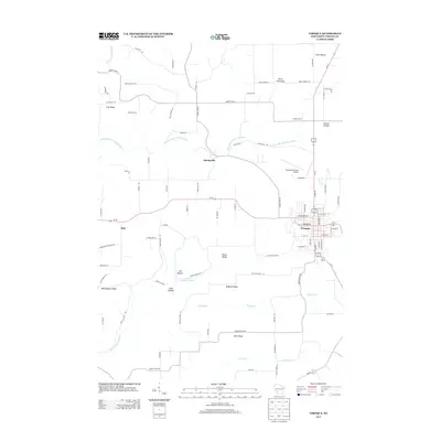 2013 Viroqua2013 Print · USGSViroqua and its surrounding Vernon County ridges are captured here in the early twenty-first century, showing a landscape defined by coulees and high prairies. Genealogists and local historians can trace family lands along Irish Ridge, Belgium Ridge, and the old crossroads at Bud.
 - 2015 Map of Coon Valley, 2015 Print
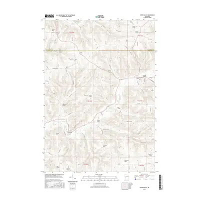 2015 Coon Valley2015 Print · USGSThe Vernon and La Crosse County line in the mid-2010s reveals a classic Driftless Area landscape of deep coulees and high ridges. Researchers can trace family history through sites like Hellwig Cem and Krause Cem or follow the valleys of Coon Creek and Dodson Hollow.
Showing maps 1-25 of 36
Top cities near Jefferson
- La Crosse historical maps
- Shelby historical maps
- Viroqua historical maps
- Westby historical maps
- Cashton historical maps
- Coon Valley historical maps
See more
Top neighborhoods of Jefferson
Frequently asked questions
- What are the different types of historical maps available for Jefferson?
- What is the oldest map of Jefferson?
- Where can I purchase historical maps of Jefferson for my home or office?
- Where can I download high-res historical maps of Jefferson?
- Are there historical topographic maps available for Jefferson?
- Is there historical aerial imagery available for Jefferson?
- Where are historical maps of Jefferson sourced from?