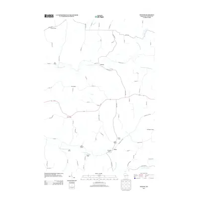
2013 Map of Newton
USGS Topo · Published 2013About this map
The N Fork Bad Axe River and its numerous tributaries carve a complex landscape of ridges and hollows in this 2013 survey of Vernon County. The small community of Newton serves as a central point along County Hwy-O, while the settlement of Purdy sits further south near the S Fork Bad Axe River. This area is characterized by high, flat-topped elevations such as North Ridge, South Ridge, and Nottingham Ridge, which are separated by narrow, named valleys that reflect the local heritage of the region. Notable examples include Norwegian Hollow, Lars Anderson Hollow, and Shingle Hollow. The road network, including Wi-56, follows the contours of the terrain, connecting isolated farms and homesteads. This detailed record preserves the specific geographic nomenclature of the Driftless Area, from the headwaters of Cox Cr to the reaches of Springville Br Bad Axe River.
Find a feature on this map
68 named features on this map. Tap any name to fly to it.
Don’t see what you’re looking for? This feature index may not catch every label — zoom into the map to look around manually.
Map Details
Editions of this 2013 Newton Map
This is the sole edition of this map. No revisions or reprints were ever made.
Other maps of this area

1903 · Waukon
USGS Topo · 1:125,000

1923 · Viroqua
USGS Topo · 1:62,500

1924 · Gays Mills
USGS Topo · 1:62,500

1926 · Gays Mills
USGS Topo · 1:62,500

1926 · Stoddard
USGS Topo · 1:62,500

1926 · Viroqua
USGS Topo · 1:62,500

1929 · Ferryville
USGS Topo · 1:62,500

1932 · Ferryville
USGS Topo · 1:62,500

1958 · La Crosse
USGS Topo · 1:250,000

1961 · La Crosse
USGS Topo · 1:250,000