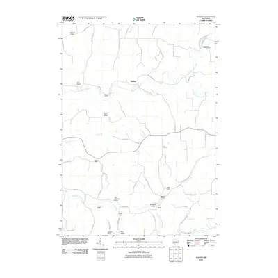
2010 Map of Newton
USGS Topo · Published 2010About this map
Newton and Purdy anchor this topographic view of the Driftless Area’s dissected terrain, where the dendritic drainage of the North Fork Bad Axe River and its tributaries has carved a complex network of ridges and deep valleys. The landscape is defined by its named topography, with high points like North Ridge, South Ridge, and Tewalt Ridge separating secluded areas such as Norwegian Hollow and Sidie Hollow. This rural pattern reflects generations of upland farming and valley settlements, where small community centers like Pleasant Ridge are connected by winding routes like County Hwy K and County Hwy O.
Find a feature on this map
64 named features on this map. Tap any name to fly to it.
Don’t see what you’re looking for? This feature index may not catch every label — zoom into the map to look around manually.
Map Details
Editions of this 2010 Newton Map
This is the sole edition of this map. No revisions or reprints were ever made.
Other maps of this area

1903 · Waukon
USGS Topo · 1:125,000

1923 · Viroqua
USGS Topo · 1:62,500

1924 · Gays Mills
USGS Topo · 1:62,500

1926 · Gays Mills
USGS Topo · 1:62,500

1926 · Stoddard
USGS Topo · 1:62,500

1926 · Viroqua
USGS Topo · 1:62,500

1929 · Ferryville
USGS Topo · 1:62,500

1932 · Ferryville
USGS Topo · 1:62,500

1958 · La Crosse
USGS Topo · 1:250,000

1961 · La Crosse
USGS Topo · 1:250,000