Old Maps of Lyons, Wisconsin for Genealogy
Trace your family roots with 33 historic maps of Lyons. These high-res maps reveal old neighborhoods, homesites, landmarks, and streets — helping you uncover where your ancestors lived and how the area evolved over time.
- Explore historic neighborhoods: Identify where your relatives may have lived in the 1800s or 1900s.
- Compare maps over time: Trace the changes in streets, buildings, and landmarks for multi-generational research.
- Perfect for genealogy & ancestry research: Used by family historians and researchers to map out lineage and migration.
These maps are an incredible resource for exploring your personal connection to Lyons's past.
Lyons, WI maps
(33)- 1893 Map of Geneva
 1893 Geneva1893 Print · USGSSoutheastern Wisconsin thrived as a rail and lakeside hub in the 1890s. Genealogists and historians can trace old homesteads near Geneva, Slades Corners, and Springfield, or follow the routes of the Wisconsin Central Railroad.2 unique versions available
 - 1904 Map of Lake Geneva, 1955 Print
 1904 Lake Geneva1955 Print · USGSSoutheast Wisconsin at the turn of the century shows a landscape defined by its great lakes and a dense network of competing rail lines. Genealogists and local historians can trace the early village footprints of Burlington, Genoa Junction, and Spring Prairie along the White River.
 - 1906 Map of Lake Geneva
 1906 Lake Geneva1906 Print · USGSSoutheastern Wisconsin's glacial landscape is fully developed as a premier resort and rail hub in the early 1900s. Researchers can trace the early grids of Lake Geneva and Burlington or locate old rail stops at Genoa Junction and Springfield.4 unique versions available
 - 1954 Map of Rockford
 1954 Rockford1954 Print · USGSThe Rock River valley and the Illinois-Wisconsin borderlands are captured here in the mid-1950s during a period of robust industrial and agricultural activity. Genealogists and historians can trace rail-era corridors like the Illinois Central RR and locate landmarks from Big Foot Prairie to Lake Geneva.
 - 1955 Map of Rockford
 1955 Rockford1955 Print · USGSThe Rock River valley and southern Wisconsin dairy country are shown here in the mid-fifties as the region's manufacturing centers grew. Genealogists and historians can trace the paths of the Chicago and North Western RR and Illinois Central RR through hubs like Rockford and Beloit.
 - 1958 Map of Rockford, 1974 Print
 1958 Rockford1974 Print · USGSNorthern Illinois and southern Wisconsin are shown here in the mid-twentieth century as rail-dependent industrial towns began to interface with growing lakefront communities. Genealogists can trace family roots through settlements like Saylesville and Tess Corners or locate historical landmarks like the Rockford Ordnance Depot.4 unique versions available
 - 1960 Map of Burlington, 1962 Print
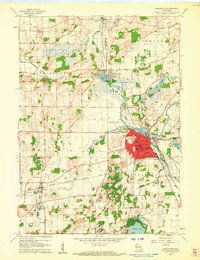 1960 Burlington1962 Print · USGSBurlington and the Fox River valley are captured here at the start of the 1960s, showing a busy rail crossroads and manufacturing center. Researchers can trace the early layout of Burlington along with rural landmarks like the German Settlement Ch Cem and the Burlington Airfield.3 unique versions available
 - 1960 Map of Lake Geneva, 1962 Print
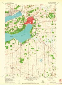 1960 Lake Geneva1962 Print · USGSLake Geneva and its surrounding resort communities are captured at their mid-century peak in this detailed 1960 survey. Genealogists and historians can trace the foundations of local education and faith at Badger High Sch and the Queen of Peace Monastery.3 unique versions available
 - 1960 Map of Springfield, 1962 Print
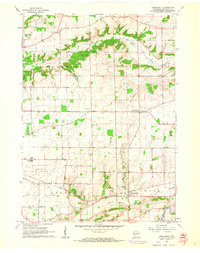 1960 Springfield1962 Print · USGSWalworth County farm country and the village of Springfield are captured here in the early sixties. Researchers can trace the local Chicago Milwaukee St Paul and Pacific rail line and locate community landmarks like Pallotti Novitiate and Hickory Grove Cem.3 unique versions available
 - 1960 Map of Genoa City, 1962 Print
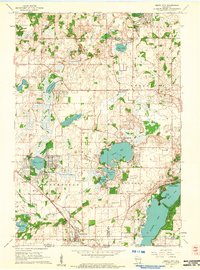 1960 Genoa City1962 Print · USGSGenoa City and its surrounding lake country are captured in detail during the early sixties, showing the transition from rural farmland to residential lakeside communities. Genealogists can trace family roots through numerous sites like Hillside Cemetery, Wheatland Center School, and the St Theresa Church.2 unique versions available
 - 1960 Map of Lake Geneva, 1963 Print
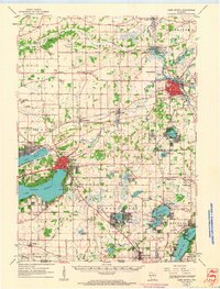 1960 Lake Geneva1963 Print · USGSIn the early 1960s, the Lake Geneva region was a thriving network of rail-connected towns and lakeside retreats. Genealogists can trace family footprints at Oak Hill Cem, Hickory Grove Cem, and crossroads like Slades Corners.
 - 1963 Map of Rockford
 1963 Rockford1963 Print · USGSThe mid-century industrial corridor along the Rock River is shown here during a period of rapid post-war growth. Researchers can trace the extensive rail lines of the Chicago and North Western or locate local landmarks like the Rockford Ordnance Depot and Holy Hill.
 - 1980 Map of Lake Geneva, 1981 Print
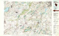 1980 Lake Geneva1981 Print · USGSSoutheastern Wisconsin at the start of the eighties reveals a landscape of glacial moraines and established lakefront resorts. Researchers can trace historic rail lines like the Chicago and North Western RR or locate landmarks such as Yerkes Observatory and East Lawn Cem.
 - 2010 Map of Springfield, 2010 Print
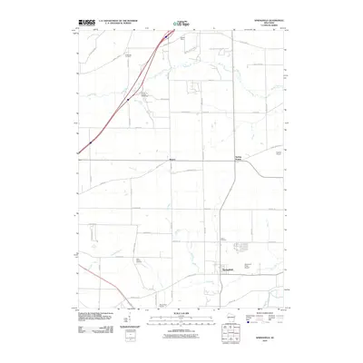 2010 Springfield2010 Print · USGSWalworth County at the dawn of the new decade reveals a blend of traditional dairy-land roots and modern recreational development. Researchers can trace family history at White Oak Cemetery or locate old rural hubs like Bowers and Spring Prairie.
 - 2010 Map of Lake Geneva, 2010 Print
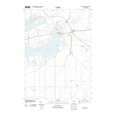 2010 Lake Geneva2010 Print · USGSLake Geneva and its surrounding resort communities are captured here during the first decade of the millennium. Researchers can locate family plots at Pioneer Cemetery or trace the drainage of the White River near the Lake Geneva Dam.
 - 2010 Map of Genoa City, 2010 Print
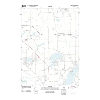 2010 Genoa City2010 Print · USGSThe borderlands of Kenosha and Walworth counties appear here as a mosaic of glacial lakes and historic farmsteads at the start of the century. Genealogists can trace family names through numerous burial sites including Saint Johns and Bloomfield Cemetery, or locate legacy properties like Silver Springs Farm.
 - 2010 Map of Burlington, 2010 Print
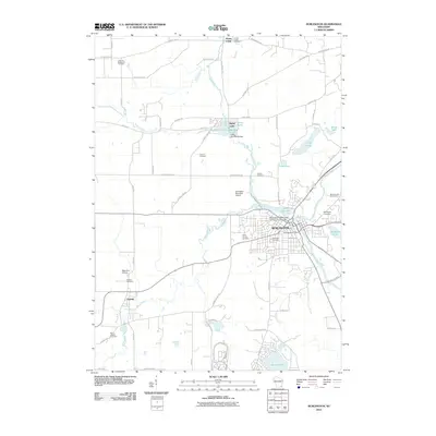 2010 Burlington2010 Print · USGSBurlington and the neighboring village of Lyons are shown at the turn of the millennium where the Fox and White Rivers meet. Researchers can trace local heritage through several burial sites like the German Settlement Cemetery and Saint Mary Cemetery, or locate landmarks such as Honey Lake and Bohner Lake.
 - 2013 Map of Lake Geneva, 2013 Print
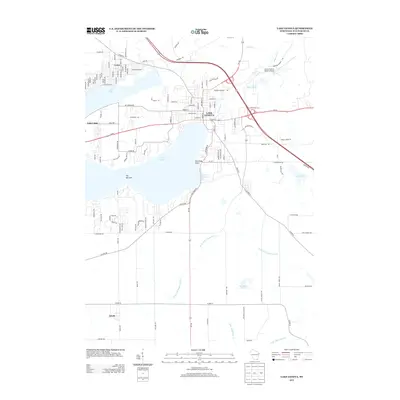 2013 Lake Geneva2013 Print · USGSThe lakeside resorts and glacial landscapes of Walworth County are detailed here during the early twenty-first century. Researchers can trace the development of Lake Geneva and Como, and locate landmarks like Ceylon Lagoon and the Grand Geneva Resort Airport.
 - 2013 Map of Burlington, 2013 Print
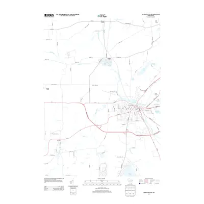 2013 Burlington2013 Print · USGSBurlington and the surrounding Racine County lake country are shown here in the early twenty-first century as a hub of river-front commerce and regional aviation. Trace local landmarks like Honey Lake, the Burlington Water Works, and the small settlement of Lyons.
 - 2013 Map of Springfield, 2013 Print
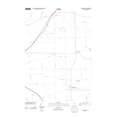 2013 Springfield2013 Print · USGSSpringfield and the surrounding Walworth County farmlands are documented here just after the turn of the decade. Researchers can trace local aviation history and rural settlements through Barker Strip Airport, Spring Prairie, and the crossroads at Bowers.
 - 2013 Map of Genoa City, 2013 Print
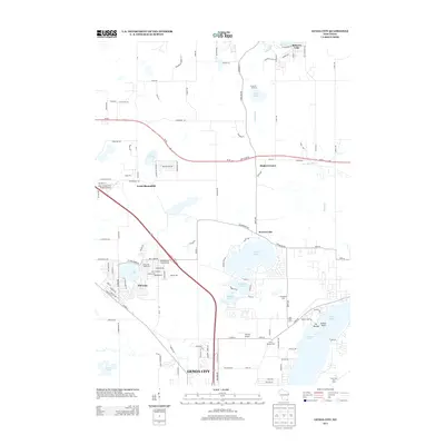 2013 Genoa City2013 Print · USGSIn the early twenty-first century, this area of Kenosha and Walworth Counties shows a landscape shaped by glacial waters and lakeside growth. Genealogists and local historians can trace family properties near Pell Lake, Genoa City, and the shorelines of Elizabeth Lake.
 - 2016 Map of Lake Geneva, 2016 Print
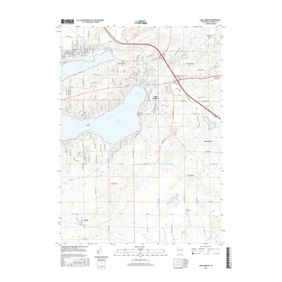 2016 Lake Geneva2016 Print · USGSLake Geneva and its surrounding resort communities are detailed here during the mid-2010s. Researchers can trace local lineage through Oak Hill Cem and Old Bloomfield Cem, or explore the shorelines of Geneva Bay and Lake Como.
 - 2016 Map of Springfield, 2016 Print
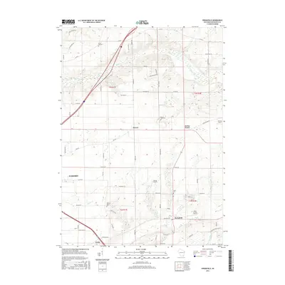 2016 Springfield2016 Print · USGSWalworth County's rolling farmland and rural villages are captured here in the mid-2010s, showing a landscape defined by agriculture and local aviation. Researchers can trace family history through sites like White Oak Cem or explore the geography around Spring Prairie and Terhark Airport.
 - 2016 Map of Burlington, 2016 Print
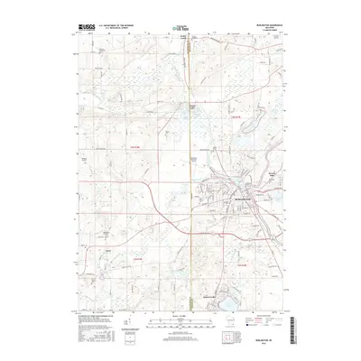 2016 Burlington2016 Print · USGSThe river confluence at Burlington and the surrounding glacial lake districts appear in high detail during the mid-2010s. Genealogists and historians can trace numerous rural burial sites like German Settlement Cem and Vienna Cem near the Honey Lake shoreline.
 - 2016 Map of Genoa City, 2016 Print
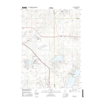 2016 Genoa City2016 Print · USGSThe lakeside communities of Kenosha and Walworth Counties are captured here during a period of modern residential growth. Genealogists can locate family sites at Hillside Cem or Wheatland Cem, while tracing the developed shorelines of Powers Lake and Elizabeth Lake.
Showing maps 1-25 of 33
Top cities near Lyons
- Muskego historical maps
- Salem Lakes historical maps
- Burlington historical maps
- Harvard historical maps
- Elkhorn historical maps
- Delavan historical maps
See more
Top neighborhoods of Lyons
Frequently asked questions
- What are the different types of historical maps available for Lyons?
- What is the oldest map of Lyons?
- Where can I purchase historical maps of Lyons for my home or office?
- Where can I download high-res historical maps of Lyons?
- Are there historical topographic maps available for Lyons?
- Is there historical aerial imagery available for Lyons?
- Where are historical maps of Lyons sourced from?