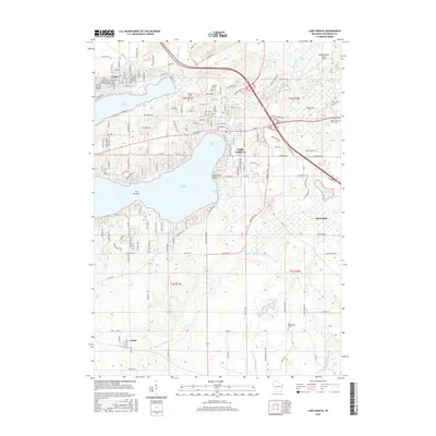
2016 Map of Lake Geneva
USGS Topo · Published 2016About this map
Lake Geneva serves as the focal point of this 2016 survey, where the deep waters of Geneva Bay and The Narrows define the southern Wisconsin landscape. The city shoreline is marked by prominent landmarks such as Mannings Point and Buttons Bay, while to the north, the smaller Lake Como and the settlement of Como provide a distinct contrast in hydrological character. The terrain is notably etched by the White River and various branches of the Nippersink Creek system, including W Br N Br Nippersink Cr.
Find a feature on this map
160 named features on this map. Tap any name to fly to it.
Don’t see what you’re looking for? This feature index may not catch every label — zoom into the map to look around manually.
Map Details
Editions of this 2016 Lake Geneva Map
This is the sole edition of this map. No revisions or reprints were ever made.
Other maps of this area

1893 · Delavan
USGS Topo · 1:62,500

1893 · Geneva
USGS Topo · 1:62,500

1904 · Lake Geneva
USGS Topo · 1:62,500

1906 · Lake Geneva
USGS Topo · 1:62,500

1926 · Mc Henry
USGS Topo · 1:62,500

1932 · Harvard
USGS Topo · 1:48,000

1937 · Harvard
USGS Topo · 1:62,500

1944 · McHenry
USGS Topo · 1:62,500

1954 · Rockford
USGS Topo · 1:250,000

1955 · Rockford
USGS Topo · 1:250,000