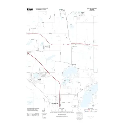
2013 Map of Genoa City
USGS Topo · Published 2013About this map
Genoa City anchors the southern portion of this landscape, where the local road network converges near the Illinois border. The area is defined by a dense concentration of glacial lakes, including the substantial Powers Lake and the residential clusters surrounding Pell Lake. These water bodies historically served as central points for local development, evidenced by the named agricultural tracts such as Evergreen Farm and Silver Springs Farm that occupy the spaces between shorelines. Further north, Slades Corners and North Bloomfield represent smaller settlement hubs linked by State Road 50. The presence of Lake Geneva Aire Estates Airport and Vincent Airport indicates the regional importance of general aviation, while recreational spaces like Camp Oh-da-ko-ta on Dyer Lake reflect the long-standing tradition of summer camps and lakefront retreats in this corner of Wisconsin.
Find a feature on this map
132 named features on this map. Tap any name to fly to it.
Don’t see what you’re looking for? This feature index may not catch every label — zoom into the map to look around manually.
Map Details
Editions of this 2013 Genoa City Map
This is the sole edition of this map. No revisions or reprints were ever made.
Other maps of this area

1893 · Silver Lake
USGS Topo · 1:62,500

1893 · Geneva
USGS Topo · 1:62,500

1904 · Lake Geneva
USGS Topo · 1:62,500

1906 · Silver Lake
USGS Topo · 1:62,500

1906 · Lake Geneva
USGS Topo · 1:62,500

1920 · Grays Lake
USGS Topo · 1:62,500

1923 · Grays Lake
USGS Topo · 1:62,500

1926 · Mc Henry
USGS Topo · 1:62,500

1944 · McHenry
USGS Topo · 1:62,500

1954 · Rockford
USGS Topo · 1:250,000