2000s (21st Century) Maps of Sugar Creek, Wisconsin
Explore 20 historic maps of Sugar Creek from the 2000s (21st Century). These maps offer a rare glimpse into what life looked like during the 2000s — showing old roads, neighborhoods, homes, and landmarks that have changed or disappeared over time.
Whether you're researching your family's past, planning a metal detecting trip, or studying how Sugar Creek's landscape evolved across the 2000s, these high-resolution maps are a powerful tool for exploring the history of this region.
- Focus on a specific era: All maps on this page are from the 2000s, giving you a focused view of this time period.
- See what’s changed: Compare century-old streets, trails, and buildings to today's modern landscape using overlays and satellite layers.
- Research with precision: Use these maps for genealogy, historical research, land use analysis, or educational projects.
- View, download, or print: Maps are fully viewable online in high resolution, and can be downloaded or printed for your own records.
Start exploring Sugar Creek's history through authentic maps from the 2000s. This is your window into the past.
Sugar Creek, WI maps
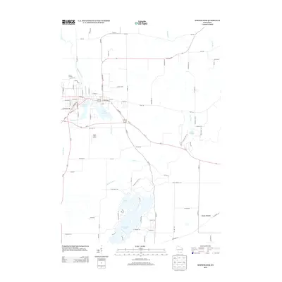
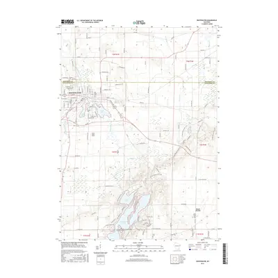
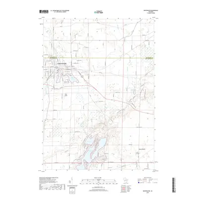
(20)- 2010 Map of Whitewater, 2010 Print
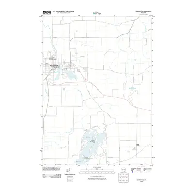 2010 Whitewater2010 Print · USGSCovers Sugar Creek, including Whitewater, La Grange, and other nearby areas
 - 2010 Map of Little Prairie, 2010 Print
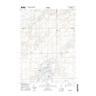
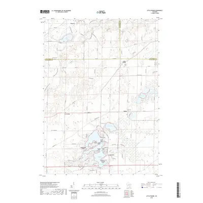
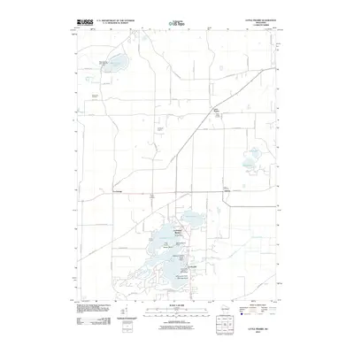 2010 Little Prairie2010 Print · USGSCovers Sugar Creek, including Eagle, La Grange, and other nearby areas
 - 2010 Map of Delavan, 2010 Print
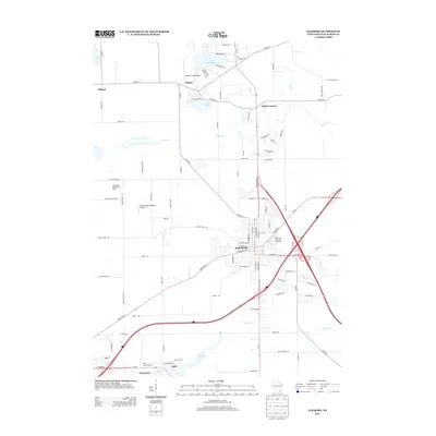
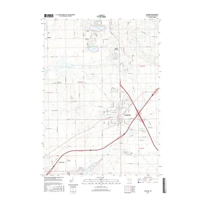
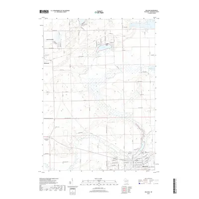
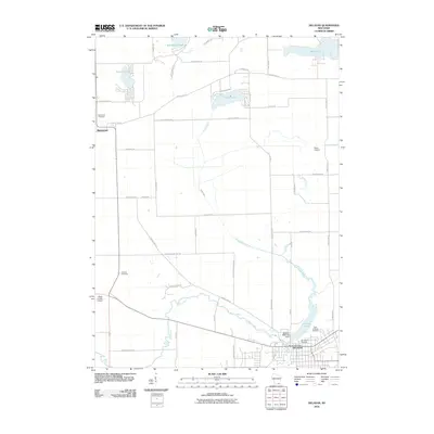 2010 Delavan2010 Print · USGSCovers Sugar Creek, including Delavan, Richmond, and other nearby areas
 - 2010 Map of Elkhorn, 2010 Print
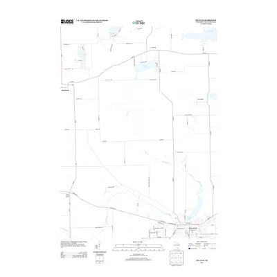
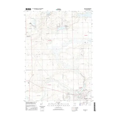
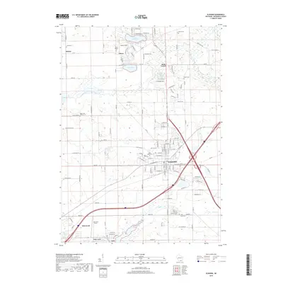
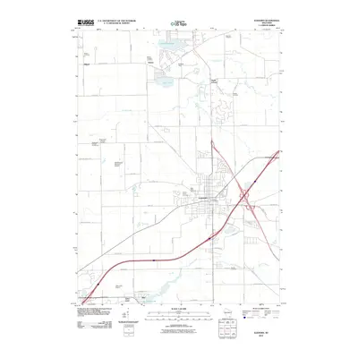 2010 Elkhorn2010 Print · USGSCovers Sugar Creek, including Elkhorn, Delavan, and other nearby areas
 - 2013 Map of Whitewater, 2013 Print
 2013 Whitewater2013 Print · USGSCovers Sugar Creek, including Whitewater, La Grange, and other nearby areas
 - 2013 Map of Delavan, 2013 Print
 2013 Delavan2013 Print · USGSCovers Sugar Creek, including Delavan, Richmond, and other nearby areas
 - 2013 Map of Elkhorn, 2013 Print
 2013 Elkhorn2013 Print · USGSCovers Sugar Creek, including Elkhorn, Delavan, and other nearby areas
 - 2013 Map of Little Prairie, 2013 Print
 2013 Little Prairie2013 Print · USGSCovers Sugar Creek, including Eagle, La Grange, and other nearby areas
 - 2016 Map of Whitewater, 2016 Print
 2016 Whitewater2016 Print · USGSCovers Sugar Creek, including Whitewater, La Grange, and other nearby areas
 - 2016 Map of Elkhorn, 2016 Print
 2016 Elkhorn2016 Print · USGSCovers Sugar Creek, including Elkhorn, Delavan, and other nearby areas
 - 2016 Map of Little Prairie, 2016 Print
 2016 Little Prairie2016 Print · USGSCovers Sugar Creek, including Eagle, La Grange, and other nearby areas
 - 2016 Map of Delavan, 2016 Print
 2016 Delavan2016 Print · USGSCovers Sugar Creek, including Delavan, Richmond, and other nearby areas
 - 2018 Map of Elkhorn, 2018 Print
 2018 Elkhorn2018 Print · USGSCovers Sugar Creek, including Elkhorn, Delavan, and other nearby areas
 - 2018 Map of Little Prairie, 2018 Print
 2018 Little Prairie2018 Print · USGSCovers Sugar Creek, including Eagle, La Grange, and other nearby areas
 - 2018 Map of Delavan, 2018 Print
 2018 Delavan2018 Print · USGSCovers Sugar Creek, including Delavan, Richmond, and other nearby areas
 - 2018 Map of Whitewater, 2018 Print
 2018 Whitewater2018 Print · USGSCovers Sugar Creek, including Whitewater, La Grange, and other nearby areas
 - 2022 Map of Little Prairie, 2022 Print
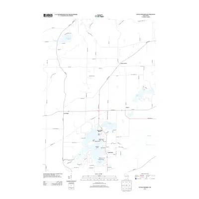
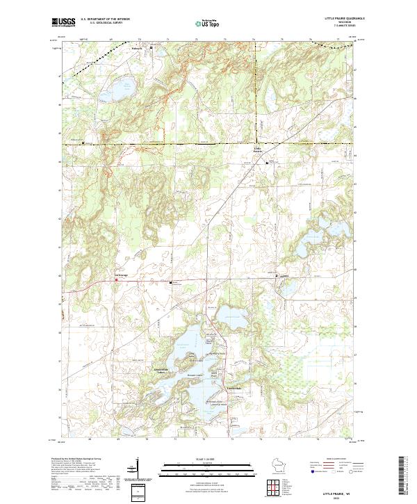 2022 Little Prairie2022 Print · USGSThe rolling glacial terrain of Walworth County appears here in the early twenty-first century. Genealogists can trace rural family plots at Little Prairie Cem and Adams Cem or locate homes near Lauderdale Lakes.
 - 2022 Map of Delavan, 2022 Print
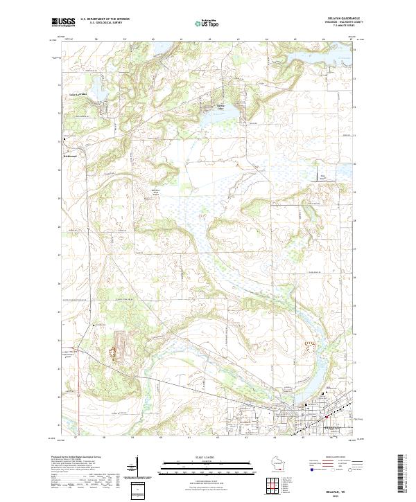 2022 Delavan2022 Print · USGSWalworth County at the start of the 2020s shows a landscape of glacial lakes and growing settlements. Genealogists can locate family sites at Old Settlers Cem or Richmond Cem, while others can trace the waters of Turtle Creek and Comus Lake.
 - 2022 Map of Whitewater, 2022 Print
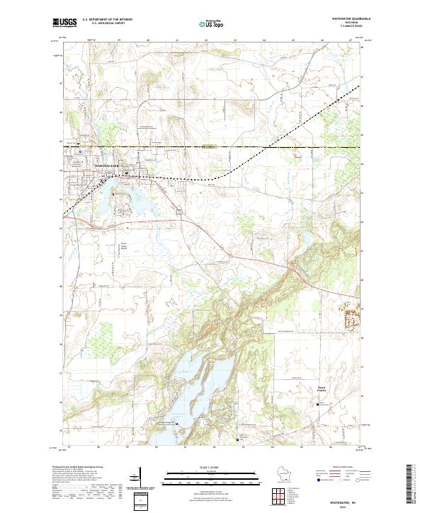 2022 Whitewater2022 Print · USGSWhitewater and the glaciated Kettle Moraine landscape are captured in this recent survey, featuring the expansive University campus and surrounding lake systems. Researchers can trace local heritage at Heart Prairie Cem or Oak Grove Cem.
 - 2022 Map of Elkhorn, 2022 Print
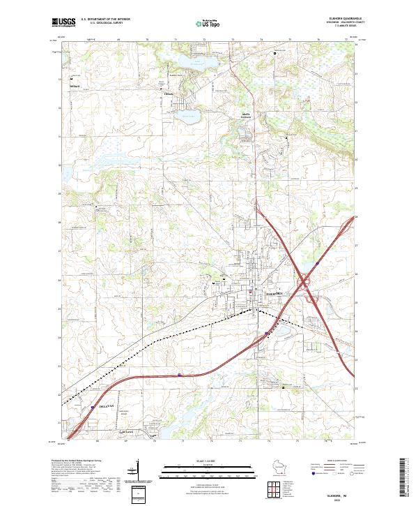 2022 Elkhorn2022 Print · USGSWalworth County at the start of the 2020s shows the continued growth of Elkhorn and Delavan amidst a landscape of historic farmsteads. Researchers can locate family plots at Hazel Ridge Cem or trace the shoreline developments of Lake Wandawega and Silver Lake.
End of results
Showing maps 1-20 of 20
Top cities near Sugar Creek
- Fort Atkinson historical maps
- Whitewater historical maps
- Elkhorn historical maps
- Delavan historical maps
- Lake Geneva historical maps
- Mukwonago historical maps
See more
Top neighborhoods of Sugar Creek
Frequently asked questions
- What are the different types of historical maps available for Sugar Creek?
- What is the oldest map of Sugar Creek?
- Where can I purchase historical maps of Sugar Creek for my home or office?
- Where can I download high-res historical maps of Sugar Creek?
- Are there historical topographic maps available for Sugar Creek?
- Is there historical aerial imagery available for Sugar Creek?
- Where are historical maps of Sugar Creek sourced from?