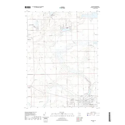
2018 Map of Delavan
USGS Topo · Published 2018About this map
Delavan anchors the southeastern corner of this Walworth County landscape, where the waters of Comus Lake and the winding course of Turtle Creek define the local geography. The area reflects a long-established agricultural and residential pattern, with numerous cemeteries such as Old Settlers Cem and Spring Grove Cem providing vital links for genealogical research. To the northwest, the small settlement of Richmond sits near the Richmond Cem, while the northern reaches are dotted with glacial features like Lake Lorraine and Turtle Lake. The presence of small aviation facilities like Swan Airport and Ames Private Airport suggests a modern rural character that balances traditional land use with private transport. This documentation of the land reveals a dense network of local roads including Territorial Rd and Kilkinney Rd, tracing the boundaries of family farms and homesteads across the county.
Find a feature on this map
84 named features on this map. Tap any name to fly to it.
Don’t see what you’re looking for? This feature index may not catch every label — zoom into the map to look around manually.
Map Details
Editions of this 2018 Delavan Map
This is the sole edition of this map. No revisions or reprints were ever made.
Other maps of this area

1891 · Koshkonong
USGS Topo · 1:62,500

1892 · Whitewater
USGS Topo · 1:62,500

1893 · Delavan
USGS Topo · 1:62,500

1893 · Whitewater
USGS Topo · 1:62,500

1893 · Shopiere
USGS Topo · 1:62,500

1894 · Koshkonong
USGS Topo · 1:62,500

1903 · Whitewater
USGS Topo · 1:62,500

1906 · Koshkonong
USGS Topo · 1:62,500

1924 · Whitewater
USGS Topo · 1:62,500

1954 · Rockford
USGS Topo · 1:250,000