2000s (21st Century) Maps of Waupaca County, Wisconsin
Explore 135 historic maps of Waupaca County from the 2000s (21st Century). These maps offer a rare glimpse into what life looked like during the 2000s — showing old roads, neighborhoods, homes, and landmarks that have changed or disappeared over time.
Whether you're researching your family's past, planning a metal detecting trip, or studying how Waupaca County's landscape evolved across the 2000s, these high-resolution maps are a powerful tool for exploring the history of this region.
- Focus on a specific era: All maps on this page are from the 2000s, giving you a focused view of this time period.
- See what’s changed: Compare century-old streets, trails, and buildings to today's modern landscape using overlays and satellite layers.
- Research with precision: Use these maps for genealogy, historical research, land use analysis, or educational projects.
- View, download, or print: Maps are fully viewable online in high resolution, and can be downloaded or printed for your own records.
Start exploring Waupaca County's history through authentic maps from the 2000s. This is your window into the past.
Waupaca County, WI maps
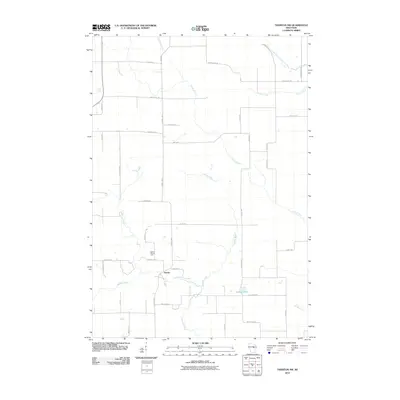
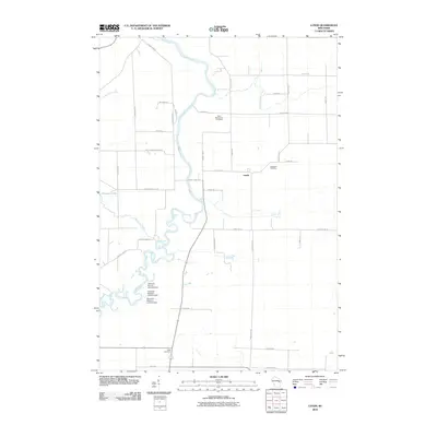
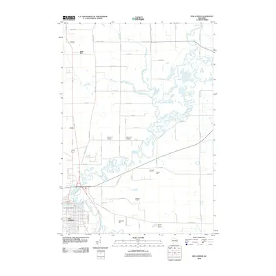
(135)- 2010 Map of Iola, 2010 Print
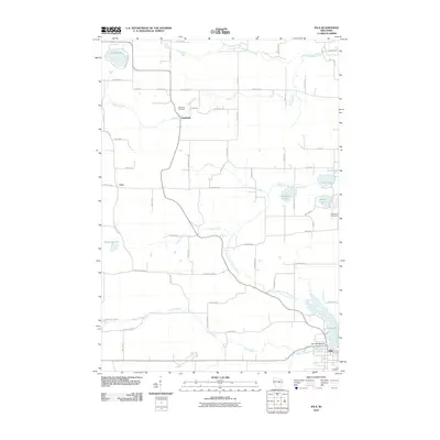 2010 Iola2010 Print · USGSCovers Waupaca County, including Iola, Alban, and other nearby areas
 - 2010 Map of Saxeville, 2010 Print
 2010 Saxeville2010 Print · USGSCovers Waupaca County, including Poy Sippi, Saxeville, and other nearby areas
 - 2010 Map of King, 2010 Print
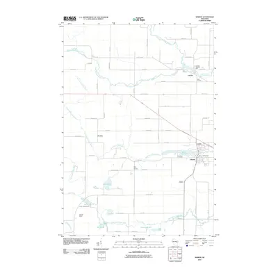
 2010 King2010 Print · USGSCovers Waupaca County, including Waupaca, Parfreyville, and other nearby areas
 - 2010 Map of Wild Rose, 2010 Print
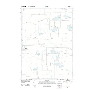 2010 Wild Rose2010 Print · USGSCovers Waupaca County, including Wild Rose, Saxeville, and other nearby areas
 - 2010 Map of Big Falls, 2010 Print
 2010 Big Falls2010 Print · USGSCovers Waupaca County, including Iola, Big Falls, and other nearby areas
 - 2010 Map of Tigerton NW, 2010 Print
 2010 Tigerton NW2010 Print · USGSCovers Waupaca County, including Alban, Harrison, and other nearby areas
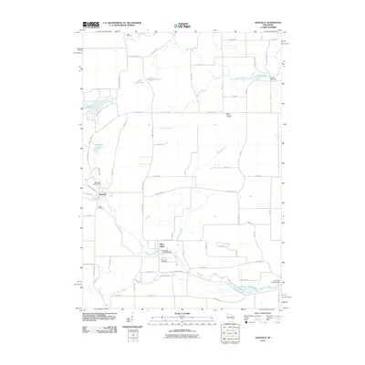
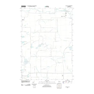
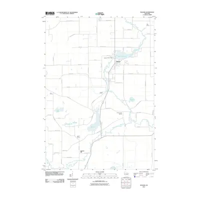
 - 2010 Map of Scandinavia, 2010 Print
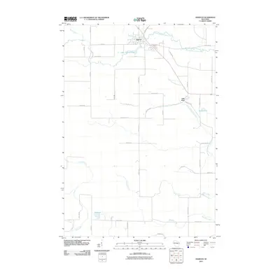
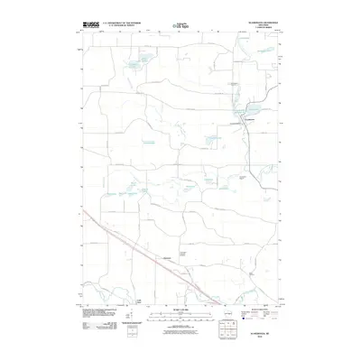 2010 Scandinavia2010 Print · USGSCovers Waupaca County, including Scandinavia, Cobb Town, and other nearby areas
 - 2010 Map of Ogdensburg, 2010 Print
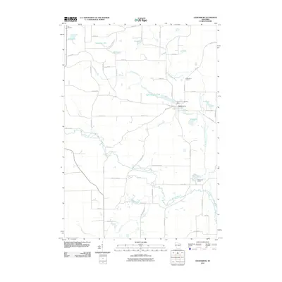 2010 Ogdensburg2010 Print · USGSCovers Waupaca County, including Iola, Ogdensburg, and other nearby areas
 - 2010 Map of Waupaca, 2010 Print
 2010 Waupaca2010 Print · USGSCovers Waupaca County, including Waupaca, Lind, and other nearby areas
 - 2010 Map of Tigerton, 2010 Print
 2010 Tigerton2010 Print · USGSCovers Waupaca County, including Tigerton, Harrison, and other nearby areas
 - 2010 Map of Bear Creek, 2010 Print
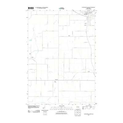
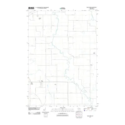 2010 Bear Creek2010 Print · USGSCovers Waupaca County, including Clintonville, Bear Creek, and other nearby areas
 - 2010 Map of Lunds, 2010 Print
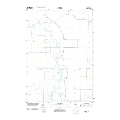
 2010 Lunds2010 Print · USGSCovers Waupaca County, including Belle Plaine, Navarino, and other nearby areas
 - 2010 Map of Weyauwega, 2010 Print
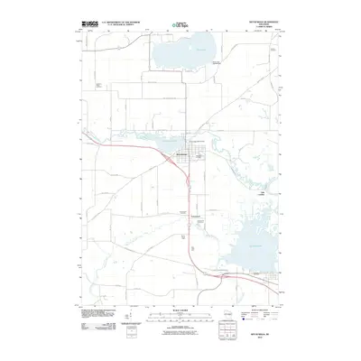 2010 Weyauwega2010 Print · USGSCovers Waupaca County, including Weyauwega, Fremont, and other nearby areas
 - 2010 Map of Symco, 2010 Print
 2010 Symco2010 Print · USGSCovers Waupaca County, including Saint Lawrence, Union, and other nearby areas
 - 2010 Map of Clintonville South, 2010 Print
 2010 Clintonville South2010 Print · USGSCovers Waupaca County, including Clintonville, Bear Creek, and other nearby areas
 - 2010 Map of Hortonville, 2010 Print
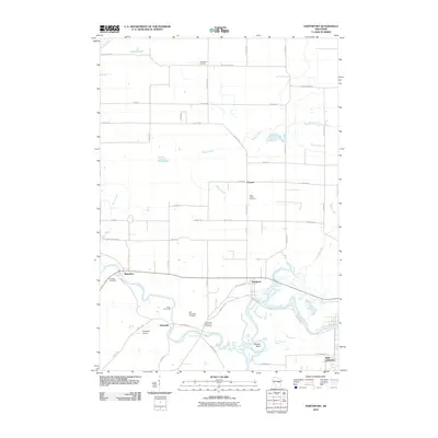
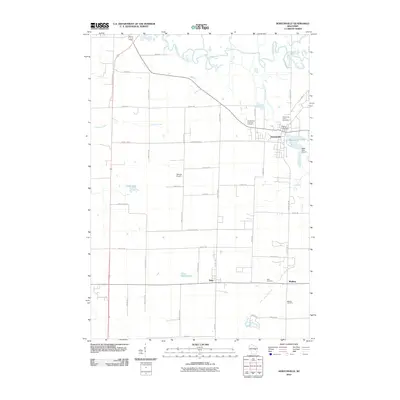 2010 Hortonville2010 Print · USGSCovers Waupaca County, including New London, Dale, and other nearby areas
 - 2010 Map of Poy Sippi, 2010 Print
 2010 Poy Sippi2010 Print · USGSCovers Waupaca County, including Fremont, Poy Sippi, and other nearby areas
 - 2010 Map of Leeman, 2010 Print
 2010 Leeman2010 Print · USGSCovers Waupaca County, including Navarino, Leeman, and other nearby areas
 - 2010 Map of New London, 2010 Print
 2010 New London2010 Print · USGSCovers Waupaca County, including New London, Hortonia, and other nearby areas
 - 2010 Map of Manawa, 2010 Print
 2010 Manawa2010 Print · USGSCovers Waupaca County, including Manawa, Saint Lawrence, and other nearby areas
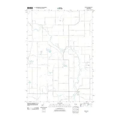
 - 2010 Map of Embarrass, 2010 Print
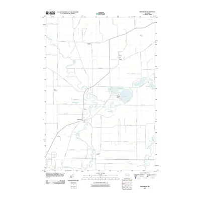 2010 Embarrass2010 Print · USGSCovers Waupaca County, including Clintonville, Belle Plaine, and other nearby areas
 - 2010 Map of Oshkosh NW, 2010 Print
 2010 Oshkosh NW2010 Print · USGSCovers Waupaca County, including Dale, Winchester, and other nearby areas
 - 2010 Map of Marion, 2010 Print
 2010 Marion2010 Print · USGSCovers Waupaca County, including Marion, Grant, and other nearby areas
 - 2010 Map of Northport, 2010 Print
 2010 Northport2010 Print · USGSCovers Waupaca County, including New London, Mukwa, and other nearby areas
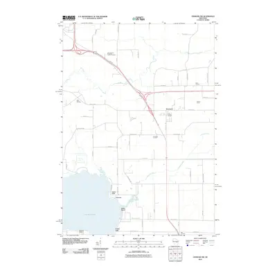
 - 2010 Map of Lake Poygan, 2010 Print
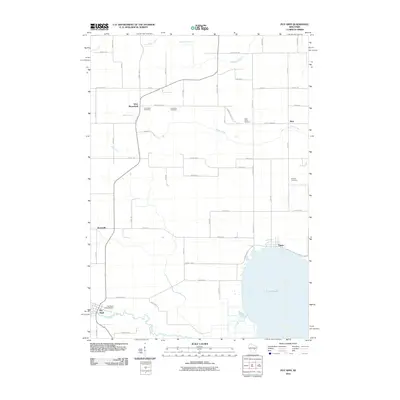
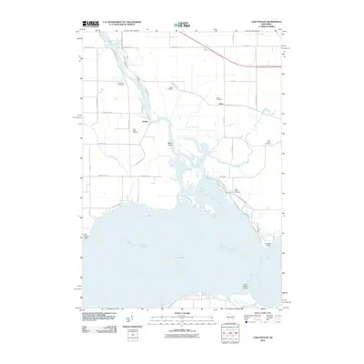 2010 Lake Poygan2010 Print · USGSCovers Waupaca County, including Winchester, Fremont, and other nearby areas
Showing maps 1-25 of 135
Top cities of Waupaca County
- Waupaca historical maps
- Clintonville historical maps
- Weyauwega historical maps
- Manawa historical maps
- Marion historical maps
- Iola historical maps
See more
Frequently asked questions
- What are the different types of historical maps available for Waupaca County?
- What is the oldest map of Waupaca County?
- Where can I purchase historical maps of Waupaca County for my home or office?
- Where can I download high-res historical maps of Waupaca County?
- Are there historical topographic maps available for Waupaca County?
- Is there historical aerial imagery available for Waupaca County?
- Where are historical maps of Waupaca County sourced from?