2020s Maps of Waupaca County, Wisconsin
Explore 27 historic maps of Waupaca County from the 2020s. These maps offer a rare glimpse into what life looked like during the 2020s — showing old roads, neighborhoods, homes, and landmarks that have changed or disappeared over time.
Whether you're researching your family's past, planning a metal detecting trip, or studying how Waupaca County's landscape evolved across the 2020s, these high-resolution maps are a powerful tool for exploring the history of this region.
- Focus on a specific era: All maps on this page are from the 2020s, giving you a focused view of this time period.
- See what’s changed: Compare century-old streets, trails, and buildings to today's modern landscape using overlays and satellite layers.
- Research with precision: Use these maps for genealogy, historical research, land use analysis, or educational projects.
- View, download, or print: Maps are fully viewable online in high resolution, and can be downloaded or printed for your own records.
Start exploring Waupaca County's history through authentic maps from the 2020s. This is your window into the past.
Waupaca County, WI maps
(27)- 2022 Map of Leeman, 2022 Print
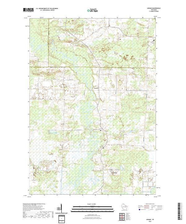 2022 Leeman2022 Print · USGSModern Outagamie County retains its rural character in the 2020s, dominated by the serpentine course of the Wolf River. Genealogists can locate several local landmarks including Oak Hill Cem, South Maine Cem, and the settlement of Leeman.
 - 2022 Map of Poy Sippi, 2022 Print
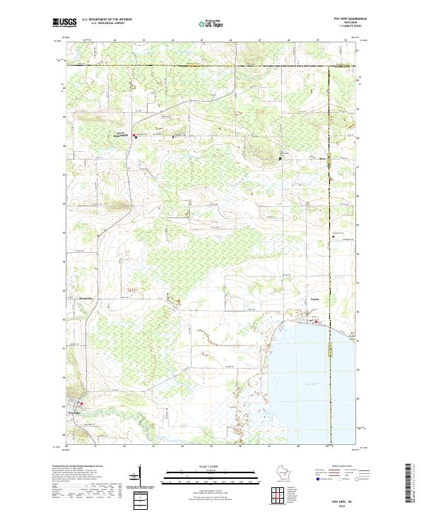 2022 Poy Sippi2022 Print · USGSPoy Sippi and the northern shores of Lake Poygan appear here in a landscape of small hamlets and winding waterways. Genealogists can trace family sites at Old German Lutheran Cem and Prellwitz Cem or explore the old settlements of Metz and Tustin.
 - 2022 Map of Readfield, 2022 Print
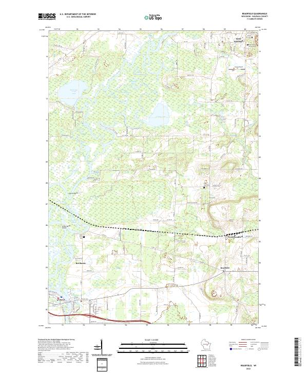 2022 Readfield2022 Print · USGSWaupaca County's river-driven landscape is captured here in the early 2020s, showing the complex wetlands and bayous formed by the Wolf River. Genealogists and local historians can locate several burial sites like Pioneer Cem and Saint John Cem, or trace old routes near New London.
 - 2022 Map of Northport, 2022 Print
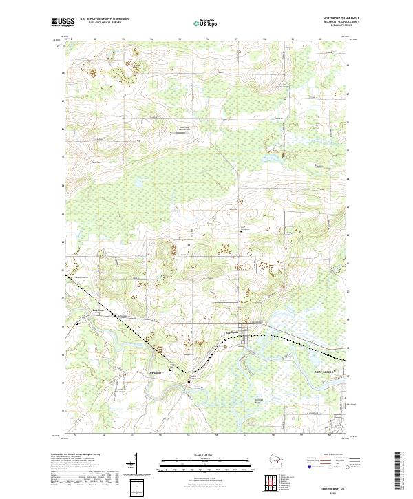 2022 Northport2022 Print · USGSWaupaca County's river valleys come into focus in this contemporary survey of the area surrounding the Wolf River confluence. Researchers can trace family history through several burial sites like Old Ostrander Cem and Saint Patrick Cem, or locate the historic river settlements of Royalton and Northport.
 - 2022 Map of Manawa, 2022 Print
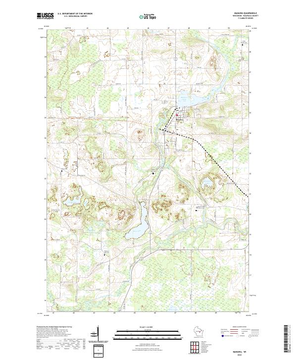 2022 Manawa2022 Print · USGSManawa and the surrounding Waupaca County wetlands are captured here in the early twenty-first century. Researchers can trace rural lineages through the Waupaca County Poor Farm Cem, Little Wolf Cem, and the waters of Bear Lake.
 - 2022 Map of Weyauwega, 2022 Print
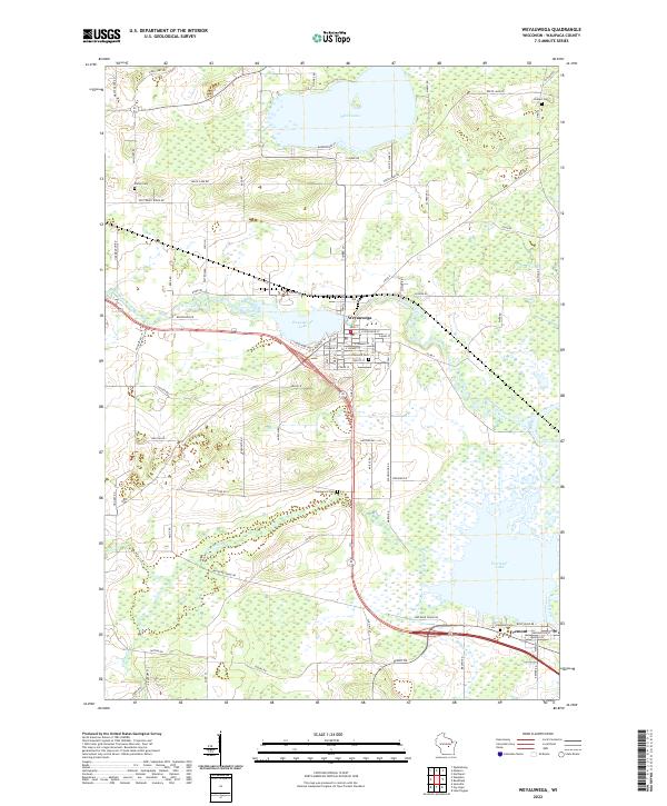 2022 Weyauwega2022 Print · USGSWeyauwega and the surrounding Waupaca County wetlands are captured here in the early twenty-first century as the river-and-lake system continues to shape the local geography. Researchers can trace family sites at Oakwood Cem or follow the water from White Lake down to Partridge Lake.
 - 2022 Map of Clintonville South, 2022 Print
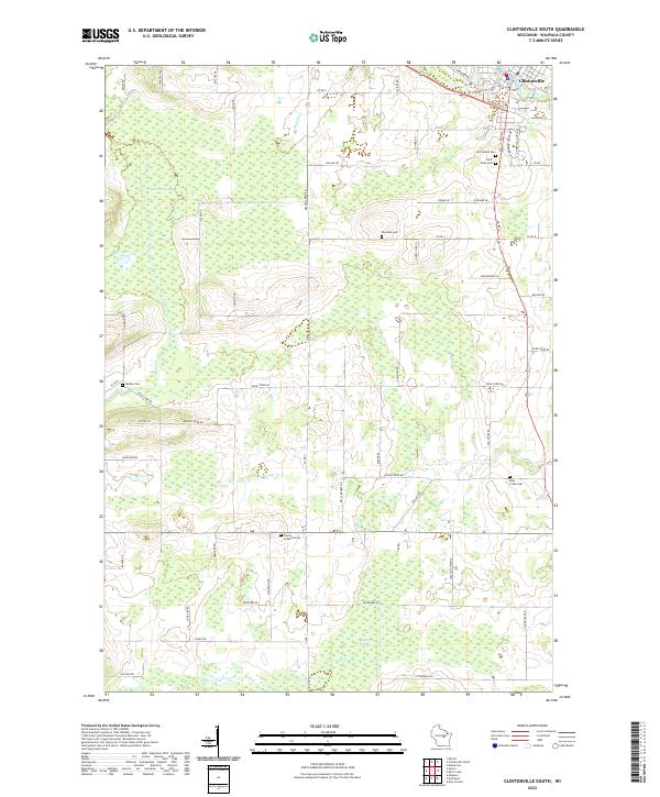 2022 Clintonville South2022 Print · USGSThe southern outskirts of Clintonville and the rural townships of Waupaca County come into focus in this contemporary survey of Central Wisconsin. Researchers can locate several burial grounds and landmarks, including Graceland Cem, Blueberry Marsh, and Trinity Lutheran Cem.
 - 2022 Map of Lake Poygan, 2022 Print
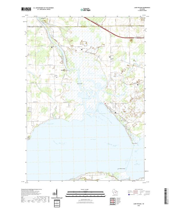 2022 Lake Poygan2022 Print · USGSWisconsin's western Lake Poygan shoreline comes into focus in the early 2020s, showing a landscape defined by the Wolf River and its expansive marshlands. Researchers can locate local landmarks like Old Indian Point, Orihula, and several family-linked sites such as Zittau Cem.
 - 2022 Map of New London, 2022 Print
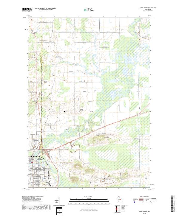 2022 New London2022 Print · USGSWisconsin's river-bottom lands and rural townships come into focus in this recent study of the area surrounding the New London city limits. Researchers can trace local lineage through numerous burial grounds like Emanuel Lutheran Cem and Ruckdashel Cem or survey the terrain near Mosquito Hill.
 - 2022 Map of Marion, 2022 Print
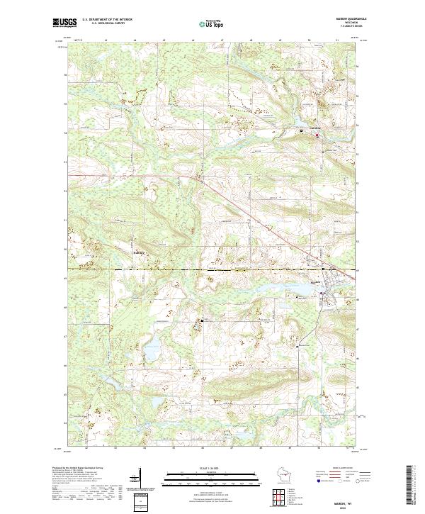 2022 Marion2022 Print · USGSThe borderlands of Shawano and Waupaca Counties come into focus in the early 2020s, centered on the river-fed communities of Marion and Caroline. Researchers can trace local heritage through the sites of Saint Johns Cemetery and Zion Cemetery or explore the drainage of the South Branch Embarrass River.
 - 2022 Map of Embarrass, 2022 Print
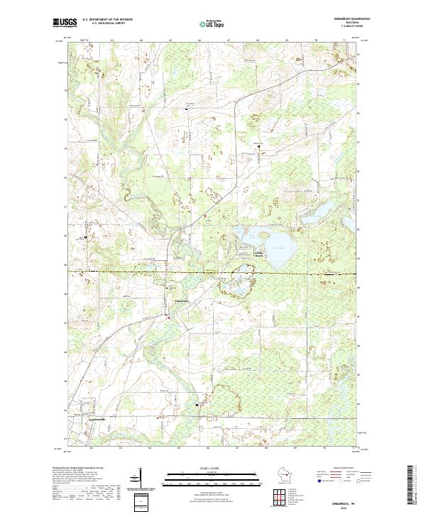 2022 Embarrass2022 Print · USGSThe border of Shawano and Waupaca Counties is defined here by the winding Embarrass River and the settlement of Embarrass. Genealogists and local historians can trace family roots through several local landmarks like Zion Lutheran Cem and Adams Beach.
 - 2022 Map of Iola, 2022 Print
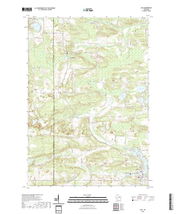 2022 Iola2022 Print · USGSWaupaca County's glacial landscape is meticulously detailed in the early 2020s, showing the settled townships surrounding Iola. Researchers can trace old family footprints through sites like Hitterdahl Lutheran Cem and Northland, or follow the banks of the Little Wolf River.
 - 2022 Map of Tigerton NW, 2022 Print
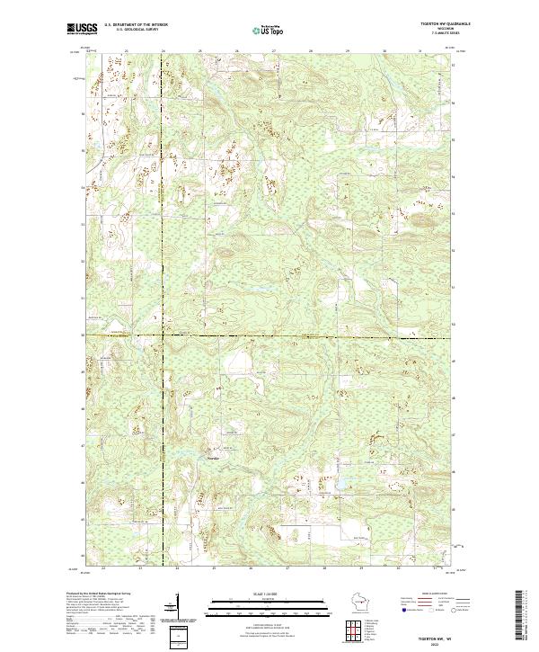 2022 Tigerton NW2022 Print · USGSWisconsin's rural heartland is mapped here in 2022, where four counties meet near the crossroads of Norske. Researchers can trace the winding paths of the Little Wolf River and the S Br Embarrass River past local landmarks like Jackson Lake.
 - 2022 Map of Wild Rose, 2022 Print
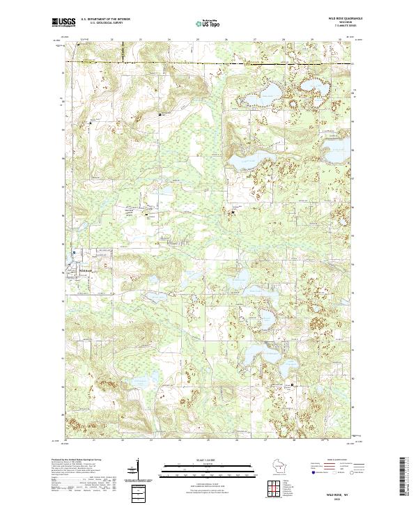 2022 Wild Rose2022 Print · USGSThe lakeside communities of Waushara County are captured here during a period of steady growth and recreational importance. Researchers can trace family sites near Wild Rose, locate the Caersalem Cem, or explore the shores of Gilbert Lake and Silver Lake.
 - 2022 Map of Waupaca, 2022 Print
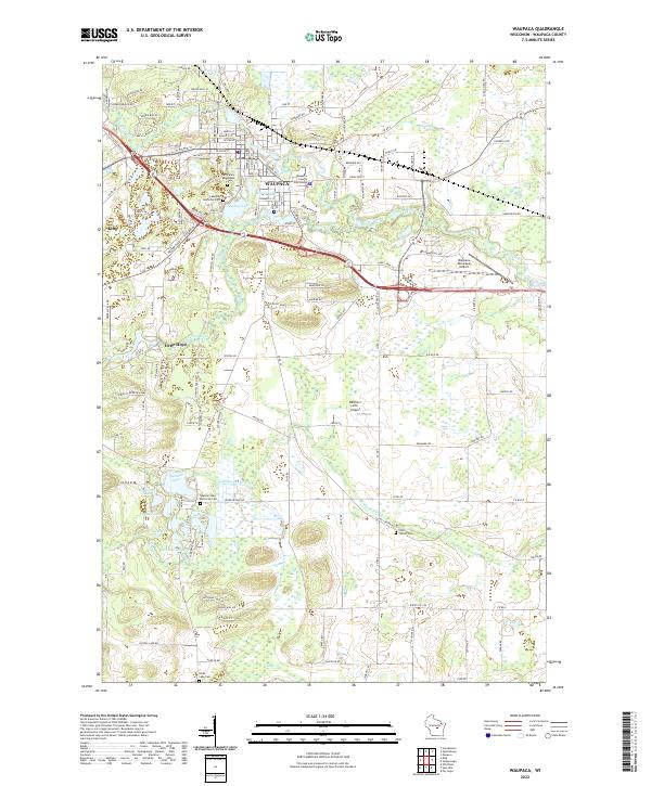 2022 Waupaca2022 Print · USGSWaupaca and its surrounding glacial lakes are shown here in the early twenty-first century as a well-developed regional center. Genealogists and historians can trace local family landmarks through Saint Mary Magdalene Cem, Lind Center Cem, and the prominent Waupaca County Courthouse.
 - 2022 Map of Ogdensburg, 2022 Print
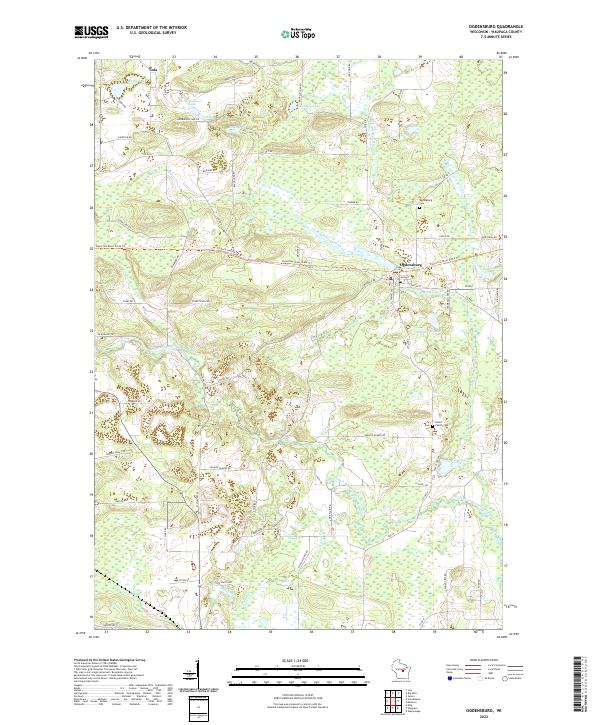 2022 Ogdensburg2022 Print · USGSOgdensburg and the surrounding Waupaca County wetlands appear here in detail during the early 2020s. Genealogists and local historians can trace family plots at the Axtell Family Cem or follow the route of the Tomorrow River State Trl.
 - 2022 Map of Tigerton, 2022 Print
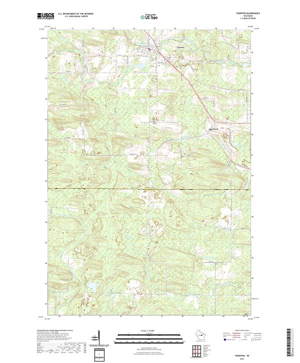 2022 Tigerton2022 Print · USGSTigerton and the surrounding dairy lands of Shawano and Waupaca Counties are shown here in the early twenty-first century. Local historians can trace the paths of the Wiouwash State Trl through Split Rock and locate riverside landmarks like Tigerton Dells.
 - 2022 Map of Saxeville, 2022 Print
 2022 Saxeville2022 Print · USGSSaxeville and Pine River anchor this central Wisconsin landscape during the early twenty-first century. Genealogists and local researchers can locate family burial sites at Hilltop Cem or Pine River Cem and trace the waterways of Hatton Creek and Mill Pond.
 - 2022 Map of Big Falls, 2022 Print
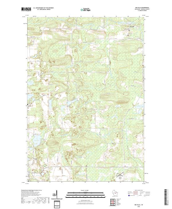 2022 Big Falls2022 Print · USGSBig Falls and the surrounding Waupaca County wetlands appear here as they were in the early 2020s, showing a landscape defined by glacial lakes and river forks. Researchers can locate family sites near the Hitterdahl Lutheran Cem or trace the drainage of the Little Wolf River and S Fork Blake Cr.
 - 2022 Map of Bear Creek, 2022 Print
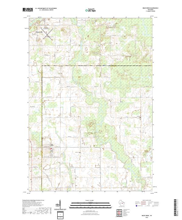 2022 Bear Creek2022 Print · USGSThe Waupaca and Outagamie county line comes alive in this contemporary survey, showing the rural communities along the Embarrass River. Genealogists and researchers can locate the Danish Cem, Restland Cem, and the streets of Bear Creek as they appear today.
 - 2022 Map of King, 2022 Print
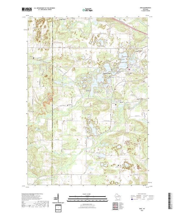 2022 King2022 Print · USGSThe Waupaca area is shown in recent years, highlighting its intricate glaciated water systems and small rural settlements. Genealogists and historians can trace local landmarks like Parfreyville, Rural, and the Central Wisconsin Veterans Memorial Cem.
 - 2022 Map of Symco, 2022 Print
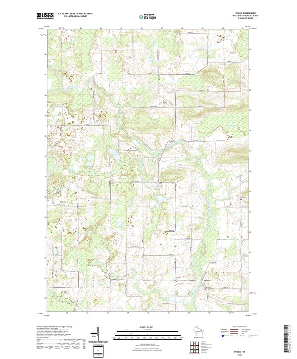 2022 Symco2022 Print · USGSThe Symco area of Waupaca County comes into focus here, showing the rural landscape as it appeared in the early twenty-first century. Genealogists and local historians can trace family locations near the Little Wolf River, Union Cem, and Danish Cem.
 - 2022 Map of Oshkosh NW, 2022 Print
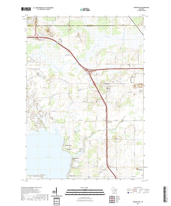 2022 Oshkosh NW2022 Print · USGSThe northern shores of Lake Winneconne meet the agricultural heart of Winnebago County in this recent survey. Genealogists and historians can trace family locations near Winchester, the Grace Lutheran Cem, or the lakeside community of Indian Shores.
 - 2022 Map of Scandinavia, 2022 Print
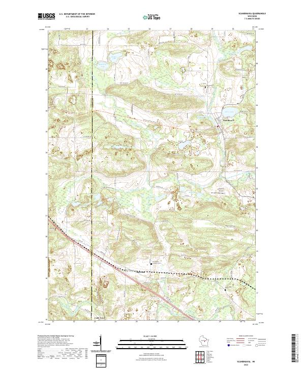 2022 Scandinavia2022 Print · USGSWaupaca County's glacial lake country and the village of Scandinavia are captured here in the early twenty-first century. Genealogists and local historians can locate Farmington Lutheran Cem, the Scandinavia Millpond, and the settlement of Sheridan.
 - 2022 Map of Clintonville North, 2022 Print
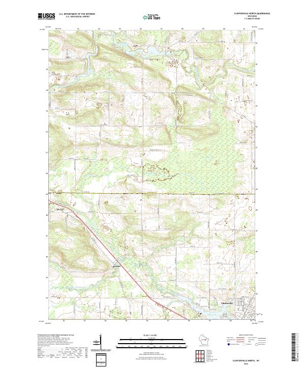 2022 Clintonville North2022 Print · USGSWisconsin's river valleys and rural crossroads are captured here in the early 2020s, showing the landscape surrounding the Embarrass River. Genealogists and local historians can trace the areas around Pella, Buckbee, and Saint Martin Cem.
Showing maps 1-25 of 27
Top cities of Waupaca County
- Waupaca historical maps
- Clintonville historical maps
- Weyauwega historical maps
- Manawa historical maps
- Marion historical maps
- Iola historical maps
See more
Frequently asked questions
- What are the different types of historical maps available for Waupaca County?
- What is the oldest map of Waupaca County?
- Where can I purchase historical maps of Waupaca County for my home or office?
- Where can I download high-res historical maps of Waupaca County?
- Are there historical topographic maps available for Waupaca County?
- Is there historical aerial imagery available for Waupaca County?
- Where are historical maps of Waupaca County sourced from?