2010s Maps of Waupaca County, Wisconsin
Explore 108 historic maps of Waupaca County from the 2010s. These maps offer a rare glimpse into what life looked like during the 2010s — showing old roads, neighborhoods, homes, and landmarks that have changed or disappeared over time.
Whether you're researching your family's past, planning a metal detecting trip, or studying how Waupaca County's landscape evolved across the 2010s, these high-resolution maps are a powerful tool for exploring the history of this region.
- Focus on a specific era: All maps on this page are from the 2010s, giving you a focused view of this time period.
- See what’s changed: Compare century-old streets, trails, and buildings to today's modern landscape using overlays and satellite layers.
- Research with precision: Use these maps for genealogy, historical research, land use analysis, or educational projects.
- View, download, or print: Maps are fully viewable online in high resolution, and can be downloaded or printed for your own records.
Start exploring Waupaca County's history through authentic maps from the 2010s. This is your window into the past.
Waupaca County, WI maps
(108)- 2010 Map of Iola, 2010 Print
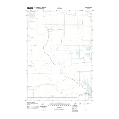 2010 Iola2010 Print · USGSWaupaca County's glacial lakes and rural settlements are shown here as they appeared in the early 2000s. Researchers can locate family landmarks like the Hitterdahl Cemetery, the old community of Northland, and the historic Iola 1870C480 Dam at Iola Lake.
 - 2010 Map of Saxeville, 2010 Print
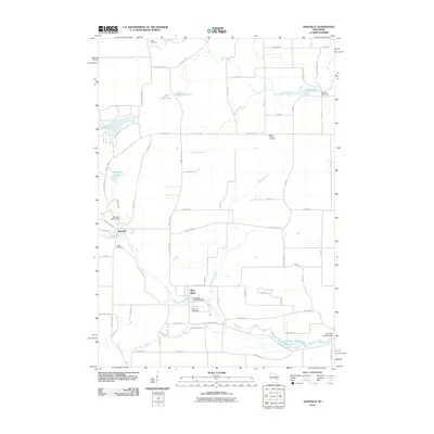 2010 Saxeville2010 Print · USGSIn the early 2000s, this area of Waushara County remained a landscape of quiet rural villages and interconnected waterways. Local historians can trace the foundations of local industry and community life through sites like Clarks Mill Dam, Saxeville, and Hilltop Cemetery.
 - 2010 Map of King, 2010 Print
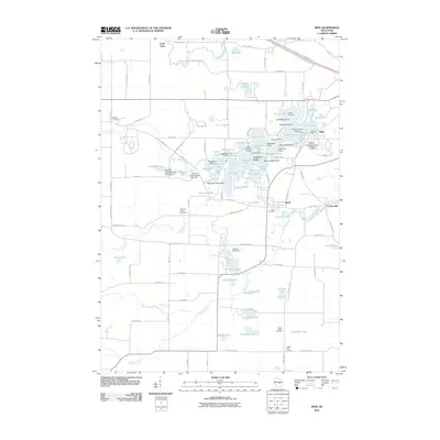 2010 King2010 Print · USGSWaupaca County's intricate lake country is centered here during the early twenty-first century. Genealogists and historians can locate the Wisconsin Veterans Memorial Cemetery and trace the paths between old settlements like Rural, Parfreyville, and Cobb Town.
 - 2010 Map of Wild Rose, 2010 Print
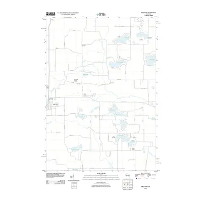 2010 Wild Rose2010 Print · USGSThe village of Wild Rose and its surrounding lake country are captured here during a period of established lakeside recreation and rural tradition. Researchers can locate numerous family burial sites like Dopp Cemetery or trace the grounds of Shin-Go-Beek Scout Camp and Camp Napowan.
 - 2010 Map of Big Falls, 2010 Print
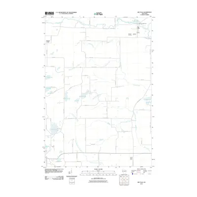 2010 Big Falls2010 Print · USGSThe village of Big Falls and its surrounding dairy lands are captured here just after the first decade of the new millennium. Researchers can trace rural property access along Aasen Rd, locate the Big Falls Cemetery, and find family-named landmarks like the Wyoming Guernsey Stock Farm.
 - 2010 Map of Tigerton NW, 2010 Print
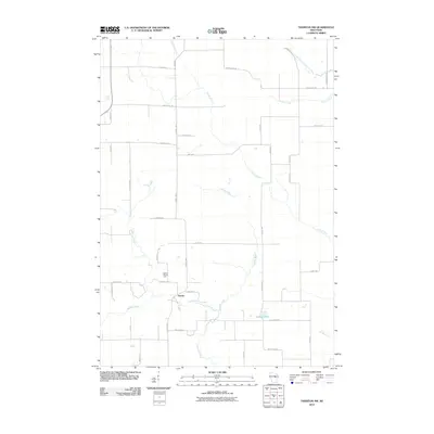 2010 Tigerton NW2010 Print · USGSPortage County at the start of the 2010s reveals a persistent agricultural landscape shaped by the Little Wolf River. Genealogists and local historians can trace family-named routes like Rekowski Rd near the settlement of Norske and the Grove Terrace Farm.
 - 2010 Map of Scandinavia, 2010 Print
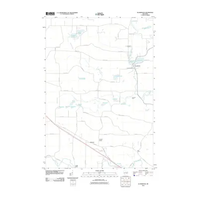 2010 Scandinavia2010 Print · USGSScandinavia and its glacial lake country are captured here during the first decade of the millennium. Researchers can find generational landmarks like Farmington Lutheran Cemetery, the Scandinavia Dam, and the riverfront settlement of Cobb Town.
 - 2010 Map of Ogdensburg, 2010 Print
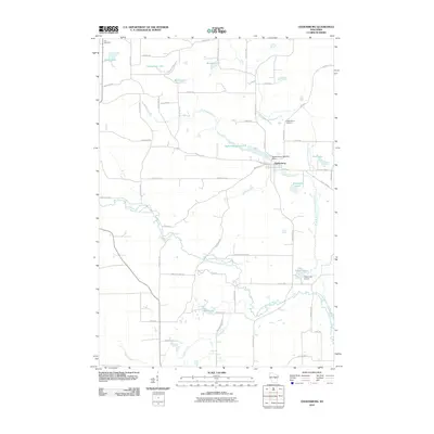 2010 Ogdensburg2010 Print · USGSOgdensburg and the surrounding Waupaca County countryside are captured here at the start of the 2010s. Researchers can locate family landmarks like the Ogdensburg Cemetery, the Ogdensburg 1855c325 Dam, and several namesake lakes including Knutson Lake and Shambeau Lake.
 - 2010 Map of Waupaca, 2010 Print
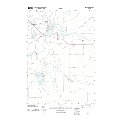 2010 Waupaca2010 Print · USGSWaupaca and its surrounding lake country are shown here in the late 2000s, centered on the historic river town and its industrial dams. Genealogists and local historians can trace legacy sites like Saint Mary Magdalene Cemetery and the settlement at Little Hope.
 - 2010 Map of Tigerton, 2010 Print
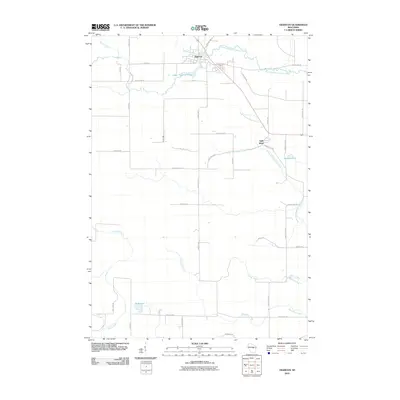 2010 Tigerton2010 Print · USGSShawano County at the start of the 2010s shows a landscape of timbered river valleys and established family farmsteads. Researchers can trace land ties along Tauferner Rd or follow the waters of the South Branch Embarrass River through Tigerton.
 - 2010 Map of Bear Creek, 2010 Print
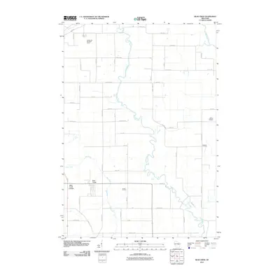 2010 Bear Creek2010 Print · USGSNear the turn of the decade, this corner of Waupaca County remains a landscape defined by its winding waterways and rural crossroads. Genealogists and local historians can trace family ties at the Danish Cemetery or explore the settlements of Bear Creek and Bear Creek Corners.
 - 2010 Map of Lunds, 2010 Print
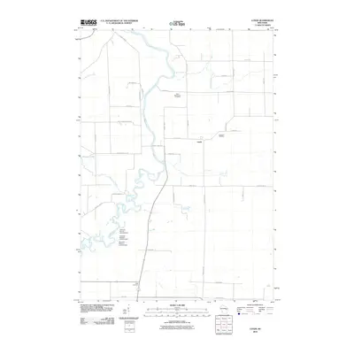 2010 Lunds2010 Print · USGSWisconsin's rural Shawano County landscape is defined here by the winding Wolf River and its managed wetlands at the start of the twenty-first century. Researchers can trace local heritage through sites like Saint Wenceslaus Cemetery and the settlement of Lunds.
 - 2010 Map of Weyauwega, 2010 Print
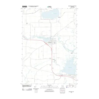 2010 Weyauwega2010 Print · USGSWaupaca County's river-and-lake landscape is recorded here in the early twenty-first century, centered on the community of Weyauwega. Genealogists and local historians can trace several burial sites like Oakwood Cemetery and family landmarks such as Evanswood Stock Farm and Gills Landing.
 - 2010 Map of Symco, 2010 Print
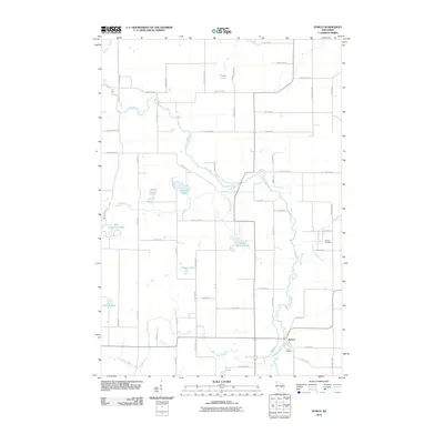 2010 Symco2010 Print · USGSWaupaca County's river-fed landscapes come to life in this survey from the early twenty-first century. Genealogists and local historians can trace family connections at the Danish Cemetery or follow the winding Little Wolf River past Symco.
 - 2010 Map of Clintonville South, 2010 Print
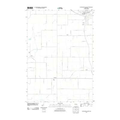 2010 Clintonville South2010 Print · USGSClintonville and its southern rural surrounds are documented here at the start of the decade, showing a landscape of scattered farms and family cemeteries. Researchers can locate the Clintonville Post Office or trace ancestral sites at Graceland Cemetery, Marble Cemetery, and Nicholson.
 - 2010 Map of Hortonville, 2010 Print
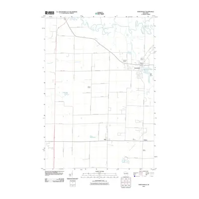 2010 Hortonville2010 Print · USGSThe village of Hortonville and its surrounding rural townships are shown here in the early twenty-first century. Researchers can locate family plots at Saints Peter and Paul Cemetery or trace the water levels of Black Otter Lake near the Horton Ville Dam.
 - 2010 Map of Poy Sippi, 2010 Print
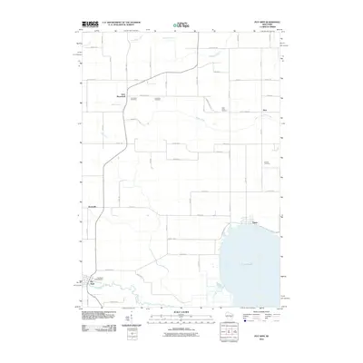 2010 Poy Sippi2010 Print · USGSThe rural landscapes and lakefront settlements of eastern Wisconsin are captured here in the early twenty-first century. Genealogists and local historians can trace the foundations of Poy Sippi and Tustin while locating family sites at Concordia Cemetery or the Poy Sippi 1870C38 Dam.
 - 2010 Map of Leeman, 2010 Print
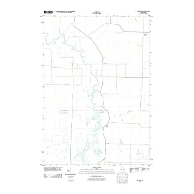 2010 Leeman2010 Print · USGSThe Wolf River corridor in Shawano County shows its characteristic meanders and rural settlements in the early twenty-first century. Researchers can locate local burial grounds like Oak Hill Cemetery and trace the small community of Leeman.
 - 2010 Map of New London, 2010 Print
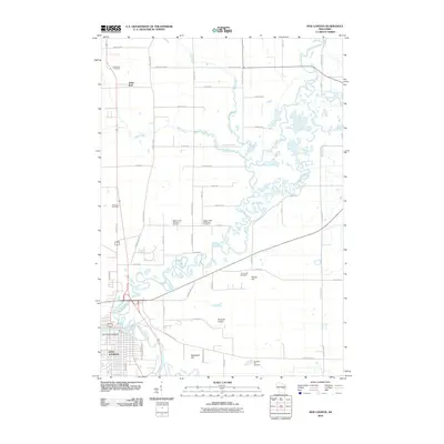 2010 New London2010 Print · USGSNew London and the surrounding river valleys are captured here at the start of the decade, showing a landscape defined by the Wolf River and Embarrass River. Genealogists can locate several local burial grounds, including Turney Hill Cemetery, Emanuel Cemetery, and the quiet crossroads of Sugar Bush.
 - 2010 Map of Manawa, 2010 Print
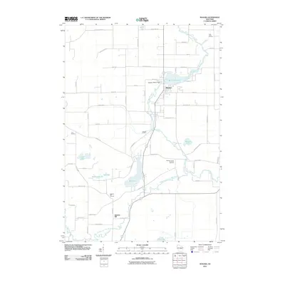 2010 Manawa2010 Print · USGSWaupaca County's river valleys and small farming communities are preserved here as they appeared in the early twenty-first century. Genealogists can trace family roots at the Waupaca County Poor Farm Cemetery, Union Cemetery, and the historic settlement of Baldwins Mill.
 - 2010 Map of Embarrass, 2010 Print
 2010 Embarrass2010 Print · USGSThe village of Embarrass and the lakefront community of Adams Beach are shown at the turn of the millennium, situated among the winding channels of the Embarrass River. Researchers can locate several family-named burial grounds like Bomke Cemetery or trace the early 21st-century shoreline of Schoenick Lake.
 - 2010 Map of Oshkosh NW, 2010 Print
 2010 Oshkosh NW2010 Print · USGSLakeside life and rural cemeteries define this portion of Outagamie County in the early 2000s. Researchers can locate community landmarks like Winchester Cemetery or Bell Cemetery and trace the shores of Lake Winneconne near Indian Shores.
 - 2010 Map of Marion, 2010 Print
 2010 Marion2010 Print · USGSWisconsin's Waupaca County landscape is defined by the winding branches of the Embarrass and Pigeon Rivers at the start of the twenty-first century. Genealogists and local historians can trace the positions of Zion Cemetery, the Leuthold Granite Quarry, and the Marion 2WP732 Dam across the terrain.
 - 2010 Map of Northport, 2010 Print
 2010 Northport2010 Print · USGSNear the confluence of the Wolf and Little Wolf Rivers, this 2010 survey shows the rural landscape of Waupaca County before recent developments. Researchers can locate family burial sites at Old Ostrander Cemetery or trace the river's path through Shirttail Bend near Northport.
 - 2010 Map of Lake Poygan, 2010 Print
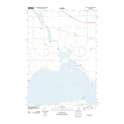 2010 Lake Poygan2010 Print · USGSWinnebago County at the start of the 2010s shows a landscape of deep-rooted rural life along the northern shores of Lake Poygan. Genealogists and local historians can trace legacy sites like Saint Peters Cemetery, Zittau, and the riverfront at Orihula.
Showing maps 1-25 of 108
Top cities of Waupaca County
- Waupaca historical maps
- Clintonville historical maps
- Weyauwega historical maps
- Manawa historical maps
- Marion historical maps
- Iola historical maps
See more
Frequently asked questions
- What are the different types of historical maps available for Waupaca County?
- What is the oldest map of Waupaca County?
- Where can I purchase historical maps of Waupaca County for my home or office?
- Where can I download high-res historical maps of Waupaca County?
- Are there historical topographic maps available for Waupaca County?
- Is there historical aerial imagery available for Waupaca County?
- Where are historical maps of Waupaca County sourced from?