Old Maps of Alta Vista, Laramie for Hiking & Exploration
Hike through history with 13 historic maps of Alta Vista. Explore old trails, ghost towns, and forgotten backroads — perfect for outdoor adventurers and local explorers.
- Rediscover forgotten places: Map out old mining camps, roads, and footpaths that no longer exist on modern maps.
- Layer with modern tools: Combine with LiDAR or satellite views to plan hikes through historical terrain.
- Made for exploration: Popular among hikers, overlanders, and local history lovers.
Use these maps to find adventure and explore the hidden past of Alta Vista.
Alta Vista, Laramie maps
(13)- 1895 Map of Laramie
 1895 Laramie1895 Print · USGSLaramie and the high plains of Albany County are shown here in the mid-1890s, when the railroad and river systems defined the frontier. Trace the locations of early landmarks like the Penitentiary, the Sartoris Ranch, and the Union Pacific R. R. line.
 - 1902 Map of Laramie
 1902 Laramie1902 Print · USGSThe high plains of Albany County come alive in this turn-of-the-century survey centered on the growing rail hub of Laramie. Genealogists and researchers can trace early homesteads and landmarks like Sartoris Ranch, Ft. Sanders, and the Union Pacific R. R. line.
 - 1905 Map of Laramie
 1905 Laramie1905 Print · USGSLaramie and the high plains of southern Wyoming are shown at the height of the steam era as the railroad pushed through the basin. Genealogists can trace early railroad settlements like Colores and Red Buttes, or locate ranching landmarks such as Mandel and Huttons Grove.
 - 1906 Map of Laramie, 1956 Print
 1906 Laramie1956 Print · USGSLaramie and the surrounding high plains are captured at the turn of the century as the ranching and railroad industries matured. Researchers can locate dozens of historic family sites like Alsop's Ranch and early landmarks such as the Fish Hatchery and Leroy Bridge.
 - 1908 Map of Laramie
 1908 Laramie1908 Print · USGSLaramie and the surrounding Albany County ranchlands are documented here at the turn of the century as the cattle industry and railroad matured. Researchers can locate early family holdings like King Ranch, the distinctive The Big Hollow, and the historic Fish Hatchery.5 unique versions available
 - 1954 Map of Cheyenne, 1963 Print
 1954 Cheyenne1963 Print · USGSSoutheastern Wyoming's high plains and the capital city's mid-century expansion are documented here during the early Cold War. Genealogists and historians can trace rail-aligned settlements like Pine Bluffs and Hillsdale, or explore landmarks like the Ames Monument and Francis E. Warren Air Force Base.3 unique versions available
 - 1958 Map of Cheyenne
 1958 Cheyenne1958 Print · USGSSoutheast Wyoming and the Nebraska border appear in the late 1950s as a hub of military defense and rail commerce. Genealogists can trace the Union Pacific through Cheyenne or locate the Horse Creek Oil Field and the State Capitol.2 unique versions available
 - 1963 Map of Laramie, 1964 Print
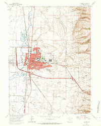 1963 Laramie1964 Print · USGSLaramie and its western neighbor are captured here in the early sixties, as the university campus and residential neighborhoods expanded toward the foothills. Genealogists and local historians can trace the Ft Sanders (Site), numerous neighborhood schools like Nellie Iles Sch, and the local Cement Plant.3 unique versions available
 - 1981 Map of Laramie
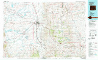 1981 Laramie1981 Print · USGSLaramie and the high plains of the Laramie Mountains are captured here in the early eighties. Researchers can trace the Union Pacific rail stops, find Greenhill Cem, and locate early routes like the Overland Trail.2 unique versions available
 - 2012 Map of Laramie, 2012 Print
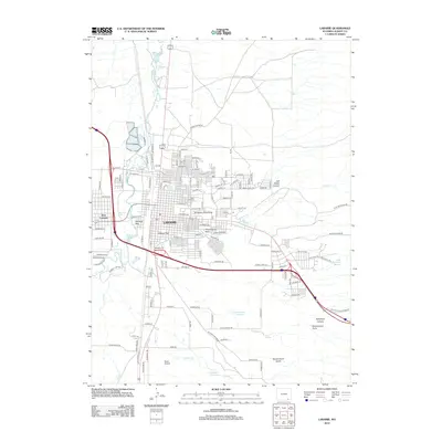 2012 Laramie2012 Print · USGSLaramie and its surrounding high-plains landscape are shown here as they appeared just over a decade ago. Researchers can locate specific sites from the University of Wyoming campus to Green Hill Cem and the Laramie River corridor.
 - 2015 Map of Laramie, 2015 Print
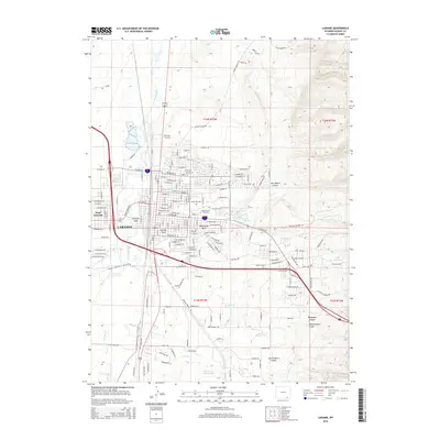 2015 Laramie2015 Print · USGSLaramie and the high plains of Albany County are captured in this mid-2010s survey as the city surrounds the expansive University of Wyoming campus. Researchers can trace the development of local neighborhoods, park systems like Washington Park, and landmarks such as the Green Hill Cem.
 - 2017 Map of Laramie, 2017 Print
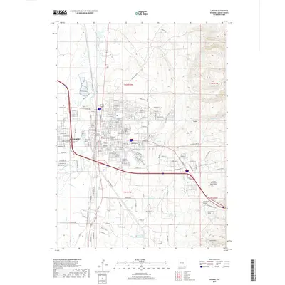 2017 Laramie2017 Print · USGSLaramie and the Univ of Wyoming campus are documented here in the late 2010s as the city expanded across the high plains of Albany County. Genealogists and historians can trace local landmarks like Green Hill Cem and Saint Matthews Church Columbarium.
 - 2021 Map of Laramie, 2021 Print
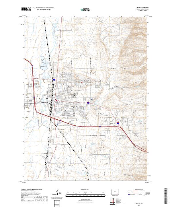 2021 Laramie2021 Print · USGSLaramie and its western neighbor West Laramie are shown here during their modern expansion, anchored by the University of Wyoming. Genealogists and local historians can trace specific city blocks, find Green Hill Cem, or locate landmarks like the Albany County Courthouse and the historic Union Pacific RR line.
End of results
Showing maps 1-13 of 13
Frequently asked questions
- What are the different types of historical maps available for Alta Vista?
- What is the oldest map of Alta Vista?
- Where can I purchase historical maps of Alta Vista for my home or office?
- Where can I download high-res historical maps of Alta Vista?
- Are there historical topographic maps available for Alta Vista?
- Is there historical aerial imagery available for Alta Vista?
- Where are historical maps of Alta Vista sourced from?