
1908 Map of Laramie
USGS Topo · Published 1908About this map
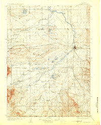
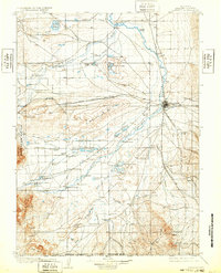
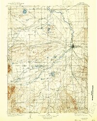
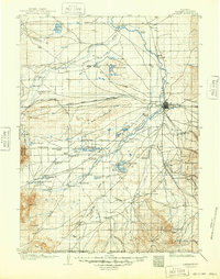
Laramie sits as the central hub of this turn-of-the-century ranching landscape, where the Union Pacific Railroad intersects with the Laramie River. The map reveals an extensive network of early Wyoming settlements and family operations, such as Huttons Grove, Nelson's Road Ranch, and Coughlin's Ranch. To the west, the geological depression known as The Big Hollow dominates the terrain, flanked by significant water bodies like Lake Hattie and the Union Pacific Soda Lakes. This era was defined by the transition from open range to established ranching boundaries, evidenced by the numerous named ranches and the Fish Hatchery near the river. The southern edge is defined by the Wyoming Colorado Boundary Line, while the rugged heights of Sheep Mtn and Jelm Mtn mark the western horizon, providing a clear record of the territory's early infrastructure including the Leroy Bridge.
Find a feature on this map
85 named features on this map. Tap any name to fly to it.
Don’t see what you’re looking for? This feature index may not catch every label — zoom into the map to look around manually.
Map Details
Editions of this 1908 Laramie Map
5 editions found
Other maps of this area

1895 · Laramie
USGS Topo · 1:125,000

1902 · Laramie
USGS Topo · 1:125,000

1905 · Sherman
USGS Topo · 1:125,000

1905 · Laramie
USGS Topo · 1:125,000

1906 · Medicine Bow
USGS Topo · 1:125,000

1906 · Laramie
USGS Topo · 1:125,000

1907 · Livermore
USGS Topo · 1:125,000

1908 · Medicine Bow
USGS Topo · 1:125,000

1909 · Livermore
USGS Topo · 1:125,000

1916 · Home
USGS Topo · 1:125,000