1980s Maps of Campbell County, Wyoming
Explore 18 historic maps of Campbell County from the 1980s. These maps offer a rare glimpse into what life looked like during the 1980s — showing old roads, neighborhoods, homes, and landmarks that have changed or disappeared over time.
Whether you're researching your family's past, planning a metal detecting trip, or studying how Campbell County's landscape evolved across the 1980s, these high-resolution maps are a powerful tool for exploring the history of this region.
- Focus on a specific era: All maps on this page are from the 1980s, giving you a focused view of this time period.
- See what’s changed: Compare century-old streets, trails, and buildings to today's modern landscape using overlays and satellite layers.
- Research with precision: Use these maps for genealogy, historical research, land use analysis, or educational projects.
- View, download, or print: Maps are fully viewable online in high resolution, and can be downloaded or printed for your own records.
Start exploring Campbell County's history through authentic maps from the 1980s. This is your window into the past.
Campbell County, WY maps
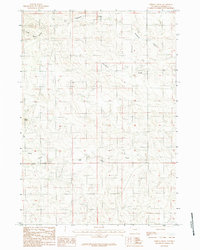
(18)- 1980 Map of Broadus
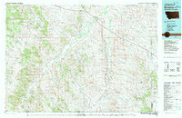 1980 Broadus1980 Print · USGSSoutheastern Montana and the Wyoming borderlands are captured in the early 1980s, centered on the high plains and river breaks of the Powder River. Genealogists and historians can trace old ranching outposts like Moorhead, Epsie, and Biddle alongside landmarks like the Two Tree Mine.
 - 1981 Map of Midwest
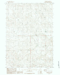
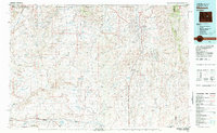 1981 Midwest1981 Print · USGSThe energy-rich plains of central Wyoming are mapped here during the early eighties, highlighting the massive Salt Creek Oil Field. Local historians can trace the rail lines of the Burlington Northern Railroad and locate landmarks like Teapot Rock and the town of Midwest.
 - 1984 Map of Dugout Creek North
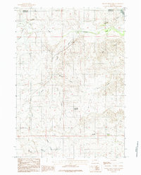 1984 Dugout Creek North1984 Print · USGSThe high plains of eastern Wyoming are captured here in the mid-1980s, where the Campbell and Converse county line meets. Researchers can trace the complex drainage patterns of Antelope Creek and find remote landmarks like Black Hill Reservoir and the Rochelle Hills.
 - 1984 Map of Threemile Creek Reservoir
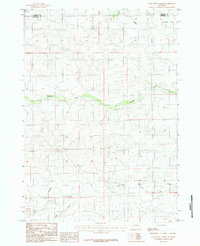
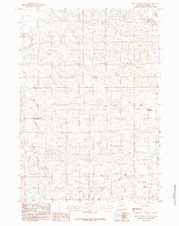
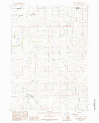
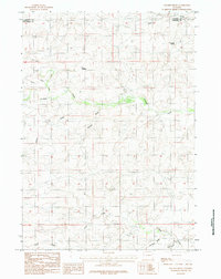
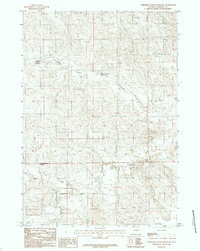 1984 Threemile Creek Reservoir1984 Print · USGSCampbell County ranching country is documented here in the mid-1980s, showcasing the essential water infrastructure of the Wyoming plains. Researchers can trace the drainage of the Belle Fourche River and locate historic water sites like Threemile Creek Reservoir and Little Wild Horse Reservoir.2 unique versions available
 - 1984 Map of Persson Draw
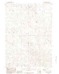
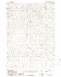
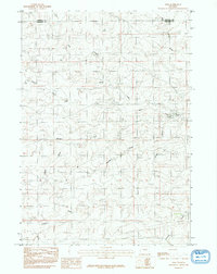
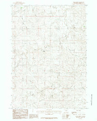
 1984 Persson Draw1984 Print · USGSThe high plains of Campbell County are captured in the mid-1980s, showing a landscape defined by ranching-era water rights and natural landmarks. Researchers can trace the drainages of Persson Draw and Wild Horse Creek or locate the prominent Black Butte.
 - 1984 Map of Turnercrest
 1984 Turnercrest1984 Print · USGSRanching lands in Campbell County are captured in the mid-1970s as the area balanced traditional livestock grazing with emerging energy infrastructure. Researchers can trace local water sources like Mexican Springs Creek and identify landmarks such as Turnercrest and the open expanses of Reno Flats.2 unique versions available
 - 1984 Map of Coal Draw North
 1984 Coal Draw North1984 Print · USGSThe borderlands of Converse and Campbell counties come alive in the mid-1980s, showing a landscape defined by ranching and water management. Researchers can trace the path of the Betty Supply Ditch and locate remote landmarks like the Landing Strip and Antelope Flat.2 unique versions available
 - 1984 Map of Reno Flats
 1984 Reno Flats1984 Print · USGSCampbell County ranching country is captured here in the mid-1980s, showing a landscape shaped by its scattered water sources. Researchers can trace the vital network of high plains springs, including Hardwater Spring, Maycock Spring, and Cold Spring across the expanse of Reno Flats.2 unique versions available
 - 1984 Map of Rocky Butte Gulch
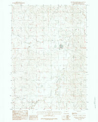
 1984 Rocky Butte Gulch1984 Print · USGSCampbell County ranching country is captured in the early eighties, showing a landscape defined by water management and drainage. Trace the course of the Belle Fourche River and find isolated landmarks like Red Spring and Rock Butte No 2 Reservoir.2 unique versions available
 - 1984 Map of Sawmill Canyon
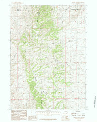 1984 Sawmill Canyon1984 Print · USGSThe high ranching country of east-central Wyoming is shown here in the mid-1980s as it spans four county lines. Researchers can trace the rugged drainage systems of the Pine Ridge including Sawmill Canyon, Wind Creek, and the North Fork Powder R.
 - 1984 Map of Wags Pinnacle
 1984 Wags Pinnacle1984 Print · USGSCampbell County ranching lands are captured here in the mid-eighties, showing the intricate drainage systems of the high plains. Researchers can locate the 4 J Line Camp and trace the many forks of North Prong Pumpkin Creek and South Prong Wild Horse Creek.
 - 1984 Map of Rattlesnake Draw
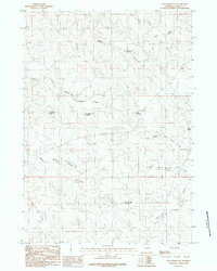
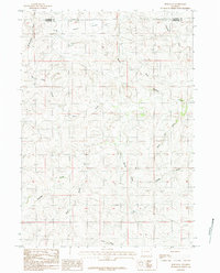
 1984 Rattlesnake Draw1984 Print · USGSThe High Plains of Campbell County appear in the mid-1980s as a landscape of intermittent streams and prominent landmarks. Researchers can trace seasonal water routes like Rattlesnake Draw and North Porcupine Creek or locate landmarks like Rocky Butte.
 - 1984 Map of Betty Reservoir
 1984 Betty Reservoir1984 Print · USGSConverse County's high plains are captured in the early 1980s as a landscape of wide flats and vital water management. Researchers can trace the drainage patterns and land divisions around Betty Reservoir, Antelope Flat, and Haefele Draw.2 unique versions available
 - 1984 Map of Ross
 1984 Ross1984 Print · USGSThe borderlands of Campbell and Converse counties in the mid-1980s reveal a landscape of vast ranching tracts and complex drainage systems. Researchers can locate the settlement of Ross and trace the paths of Antelope Creek, Wind Creek, and several Landing Strips.2 unique versions available
 - 1984 Map of Ross Flat
 1984 Ross Flat1984 Print · USGSConverse and Campbell counties are shown here in the mid-1980s, revealing the drainage patterns and early resource exploration of the Wyoming plains. Researchers can trace land features like Ross Flat or locate specific sites such as a Prospect and Antelope Creek.
 - 1984 Map of Greasewood Reservoir
 1984 Greasewood Reservoir1984 Print · USGSCampbell County ranching lands and high plains drainage systems are captured here in the late seventies. Researchers can trace the path of the Belle Fourche River and locate remote infrastructure like the local Landing Strip and Greasewood Reservoir.
 - 1984 Map of Macken Draw
 1984 Macken Draw1984 Print · USGSThe high plains of the Converse and Campbell county line are captured here in the mid-1980s. Researchers can trace the drainage of this vast grazing land through landmarks like Eagle Nest Spring, Woods Reservoir, and the winding Stinking Water Creek.
 - 1984 Map of Baker Spring
 1984 Baker Spring1984 Print · USGSCampbell County’s high plains are captured here in the late seventies and early eighties, showing a landscape defined by ranching and vital water sources. Researchers can trace the winding Belle Fourche River or locate local landmarks like Baker Spring and Soft Water Draw.
End of results
Showing maps 1-18 of 18
Top cities of Campbell County
- Gillette historical maps
- Wright historical maps
- Sleepy Hollow historical maps
- Rozet historical maps
- Recluse historical maps
Frequently asked questions
- What are the different types of historical maps available for Campbell County?
- What is the oldest map of Campbell County?
- Where can I purchase historical maps of Campbell County for my home or office?
- Where can I download high-res historical maps of Campbell County?
- Are there historical topographic maps available for Campbell County?
- Is there historical aerial imagery available for Campbell County?
- Where are historical maps of Campbell County sourced from?