2020s Maps of Campbell County, Wyoming
Explore 135 historic maps of Campbell County from the 2020s. These maps offer a rare glimpse into what life looked like during the 2020s — showing old roads, neighborhoods, homes, and landmarks that have changed or disappeared over time.
Whether you're researching your family's past, planning a metal detecting trip, or studying how Campbell County's landscape evolved across the 2020s, these high-resolution maps are a powerful tool for exploring the history of this region.
- Focus on a specific era: All maps on this page are from the 2020s, giving you a focused view of this time period.
- See what’s changed: Compare century-old streets, trails, and buildings to today's modern landscape using overlays and satellite layers.
- Research with precision: Use these maps for genealogy, historical research, land use analysis, or educational projects.
- View, download, or print: Maps are fully viewable online in high resolution, and can be downloaded or printed for your own records.
Start exploring Campbell County's history through authentic maps from the 2020s. This is your window into the past.
Campbell County, WY maps
(135)- 2020 Map of Belle Creek SW, 2020 Print
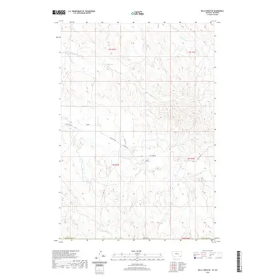 2020 Belle Creek SW2020 Print · USGSThe Wyoming-Montana borderlands are captured here in the early twenty-first century, showing a landscape of remote rangelands and high plains. Genealogists and local historians can locate the Ranch Creek Cem and trace seasonal watercourses like Prairie Dog Cr and Ranch Cr.
 - 2020 Map of Bradshaw Creek, 2020 Print
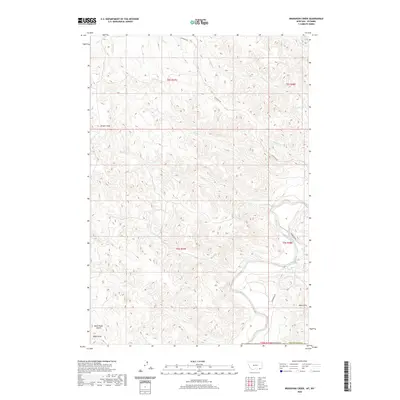 2020 Bradshaw Creek2020 Print · USGSThe high plains of the Wyoming-Montana border come alive in this recent survey of the Powder River basin. Researchers can trace the winding course of the Powder River and locate rugged landmarks like Black Eagle Butte and the Spear Hills.
 - 2020 Map of Biddle, 2020 Print
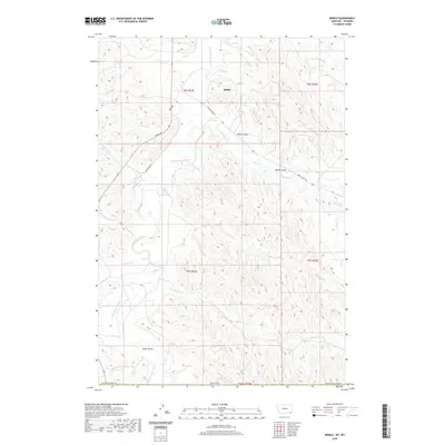 2020 Biddle2020 Print · USGSPowder River County ranchlands are documented here in the recent era, centered on the community of Biddle. Genealogists and local historians can trace the paths of Rumph Rd and Ranch Creek Rd as they cross the Little Powder River and Prairie Dog Cr.
 - 2020 Map of Wild Bill Creek, 2020 Print
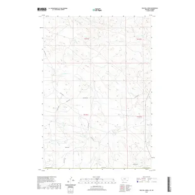 2020 Wild Bill Creek2020 Print · USGSRanching life on the Wyoming border is captured in this recent survey of the Powder River Basin. Genealogists and land researchers can trace the modern rural road network and drainage systems including Butte Creek Rd, Wild Bill Cr, and Coal Gulch.
 - 2020 Map of Three Bar Ranch, 2020 Print
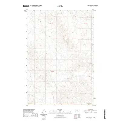 2020 Three Bar Ranch2020 Print · USGSThe high ranchlands of Campbell County meet the Montana border in this recent topographic study of the northern Wyoming plains. Researchers can trace the drainages of Three Bar Cr and Buffalo Cr or locate the namesake Three Bar Ranch.
 - 2020 Map of Moorhead, 2020 Print
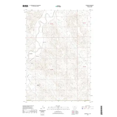 2020 Moorhead2020 Print · USGSThe Powder River valley in southeastern Montana is captured here in recent years, showing the ranching landscape near the state line. Genealogists and researchers can trace the roads around Moorhead and landmarks like Kelsey Hill or the The Devils Backbone.
 - 2020 Map of Bay Horse, 2020 Print
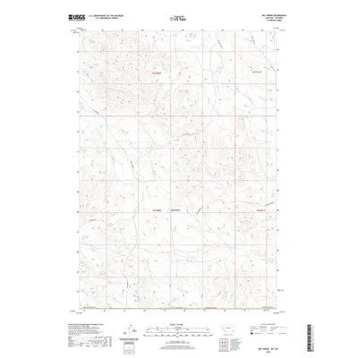 2020 Bay Horse2020 Print · USGSSouthern Montana ranchlands come into focus in this recent survey of the Powder River country. Researchers can trace rural school locations like Huckins School and family-named landmarks such as Three Bar Ranch along the banks of Butte Creek.
 - 2021 Map of Mitten Butte, 2021 Print
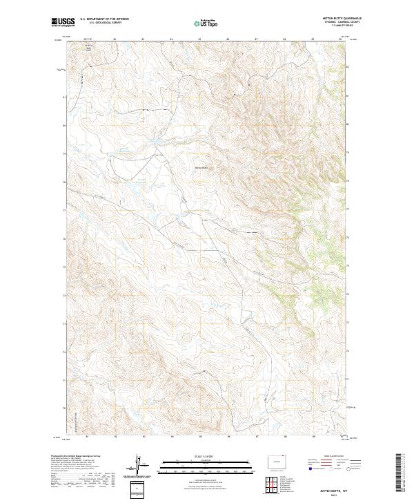 2021 Mitten Butte2021 Print · USGSCampbell County, Wyoming, is shown here in the 2020s, a landscape defined by high plains ranching and vital water catchments. You can trace local landmarks like Mitten Butte and the Eightyfive Divide, alongside upland sites such as Donna Reservoir.
 - 2021 Map of Appel Butte, 2021 Print
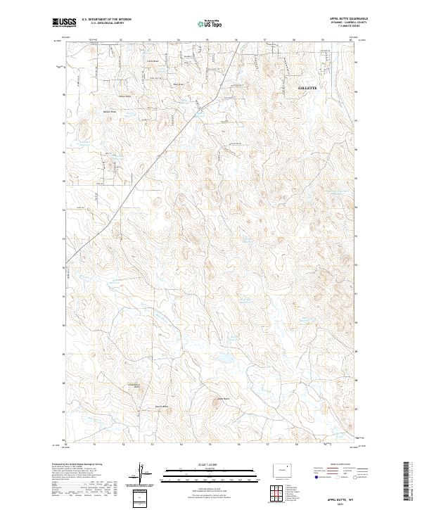 2021 Appel Butte2021 Print · USGSGillette and its southwestern outskirts are documented in the early twenty-first century as suburban growth encroaches on traditional Wyoming ranchland. Trace land use through numerous private water sources like Sibul Reservoir and landmarks such as Schoolhouse Butte.
 - 2021 Map of The Gap SW, 2021 Print
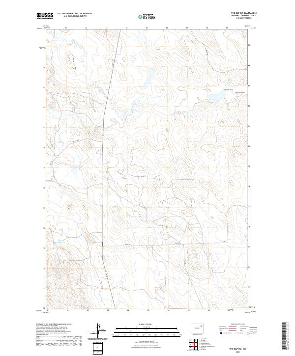 2021 The Gap SW2021 Print · USGSCampbell County in the early twenty-first century remains a landscape of open ranges and managed water. Local historians can trace the paths of Bishop Rd and Hoe Creek Rd as they navigate the drainages of Bone Pile Cr and Caballo Creek.
 - 2021 Map of Oriva, 2021 Print
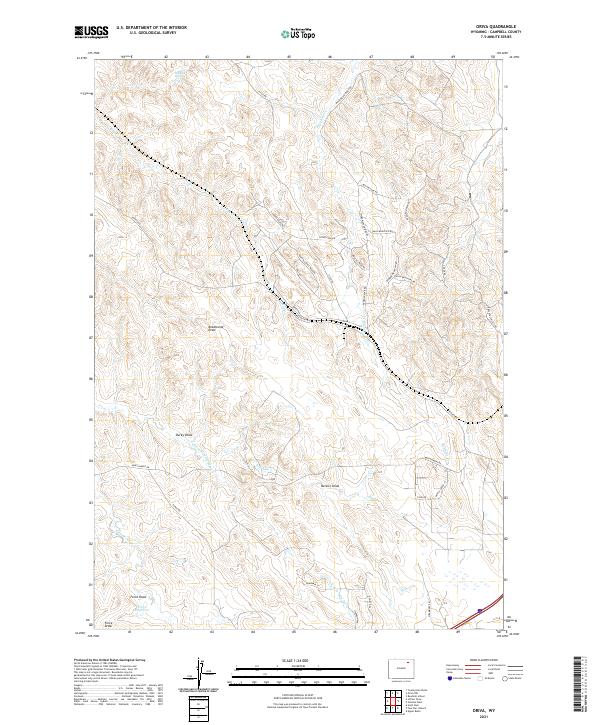 2021 Oriva2021 Print · USGSCampbell County ranching country is shown here in the early twenty-first century as it balances its traditional livestock heritage with modern infrastructure. Local historians can trace the names of family landmarks and vital water sources like Red Hill Spring, Force Reservoir, and the settlement at Oriva.
 - 2021 Map of Whitetail Creek, 2021 Print
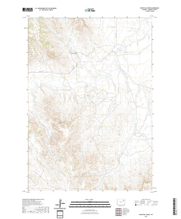 2021 Whitetail Creek2021 Print · USGSRanching lands in Campbell County are documented here during the early twenty-first century as the landscape maintains its traditional rural character. Researchers can trace the drainage of the Belle Fourche River and locate landmarks like the Yellow Hammer Buttes and Cabin Canyon Reservoir.
 - 2021 Map of Rozet SE, 2021 Print
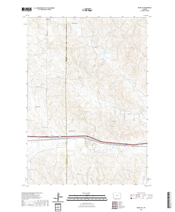 2021 Rozet SE2021 Print · USGSThe borderlands of Crook and Campbell counties are captured here in 2021, showcasing a landscape of ranch roads and seasonal draws. Genealogists and researchers can trace local landmarks like Pleasant Valley Cem and Kaehne Ranch RD.
 - 2021 Map of Jeffers Draw, 2021 Print
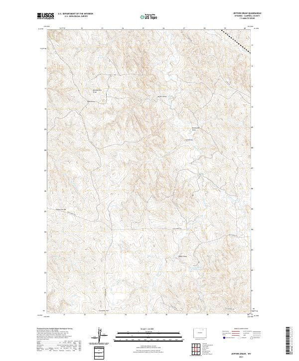 2021 Jeffers Draw2021 Print · USGSThe High Plains of Campbell County in the 2020s are defined by ranching history and rugged topography. Genealogists and historians can trace family-named landmarks and water sources like Jeffers Draw, Crenshaw Hill, and Gates Reservoir.
 - 2021 Map of Dead Horse Lake, 2021 Print
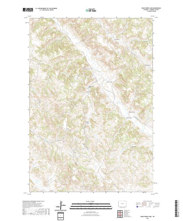 2021 Dead Horse Lake2021 Print · USGSNorthern Campbell County ranching country is mapped here in the modern era, showing a landscape defined by names like Rattlesnake Draw and Swartz Draw. Researchers can trace the drainage of Bitter Cr and find roads like Apache Gas Plant Rd.
 - 2021 Map of Saddle Horse Butte, 2021 Print
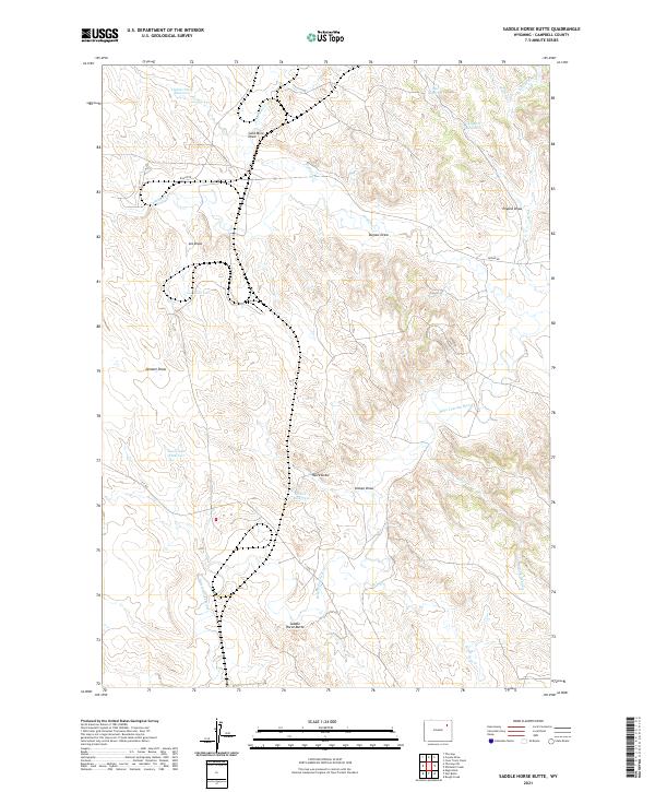 2021 Saddle Horse Butte2021 Print · USGSThe Campbell County rangelands come into focus on this recent survey of the northeastern Wyoming high plains. Ranching history can be traced through cattle-country landmarks like Saddle Horse Butte, Gold Mine Draw, and Tisdale Stock Reservoir.
 - 2021 Map of Bonnie Reservoir, 2021 Print
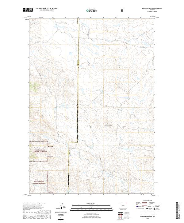 2021 Bonnie Reservoir2021 Print · USGSCrook County at the edge of the grasslands is documented here in the early twenty-first century. Researchers can trace land management patterns across Thunder Basin National Grassland and find local water sources like Bonnie Reservoir and Edgerton Reservoir.
 - 2021 Map of Homestead Draw, 2021 Print
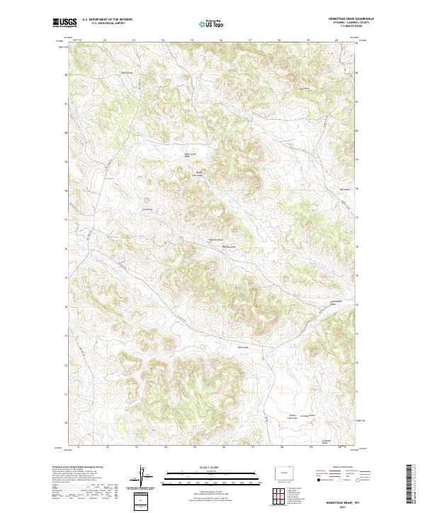 2021 Homestead Draw2021 Print · USGSNorthern Campbell County is documented here in the early twenty-first century as a land of named draws and creek forks. Researchers can trace historic local routes like Bay Horse Rd or locate the namesake Homestead Draw and Sawmill Draw.
 - 2021 Map of White Tail Butte, 2021 Print
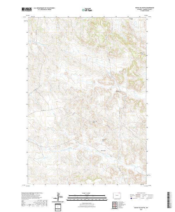 2021 White Tail Butte2021 Print · USGSThe high plains of Campbell County are captured here in the early twenty-first century, showing a landscape of ranching roads and water management. Trace family land ties near White Tail Butte, the Ponch Reservoir, and along Elk Creek Rd.
 - 2021 Map of Rozet NE, 2021 Print
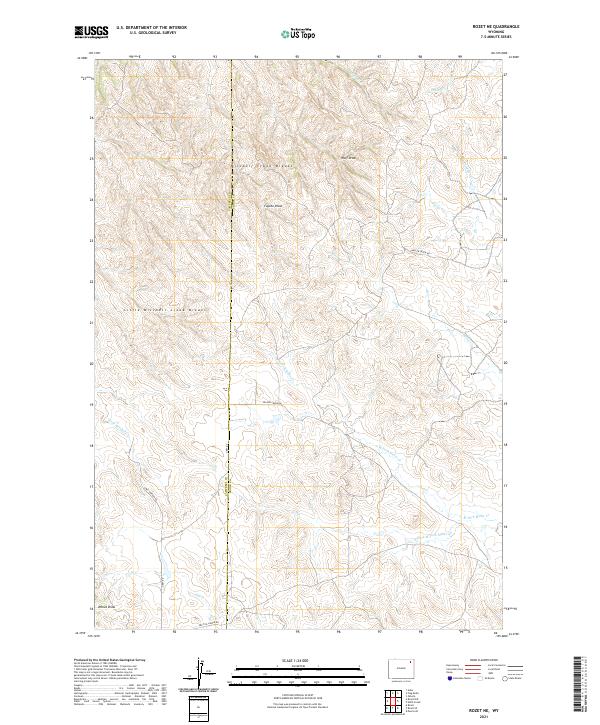 2021 Rozet NE2021 Print · USGSNortheast Wyoming ranching country is shown here in the early twenty-first century, spanning the border of Campbell and Crook Counties. Researchers can trace the rugged topography of the Mitchell Creek Breaks and follow remote routes like Grey Dillinger Rd.
 - 2021 Map of Rocky Butte SW, 2021 Print
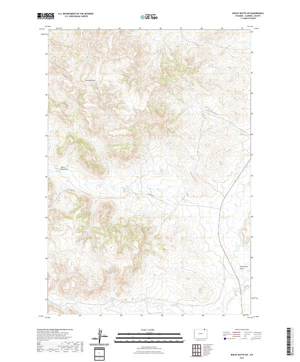 2021 Rocky Butte SW2021 Print · USGSNortheastern Wyoming ranchlands in the early twenty-first century are defined by their complex drainage networks and remote road systems. Genealogists and researchers can trace local landmarks like Little Powder River, Elk Creek Rd, and White Tail Cr.
 - 2021 Map of Calf Creek, 2021 Print
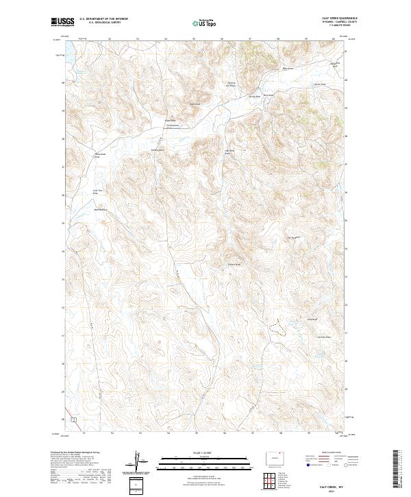 2021 Calf Creek2021 Print · USGSNortheastern Wyoming’s ranching landscape is captured here in the early twenty-first century, showing the intricate drainage basins of Campbell County. Researchers can trace land use through named features like Coal Mine Draw, Williams Reservoir, and The Rockpile.
 - 2021 Map of Pleasantdale, 2021 Print
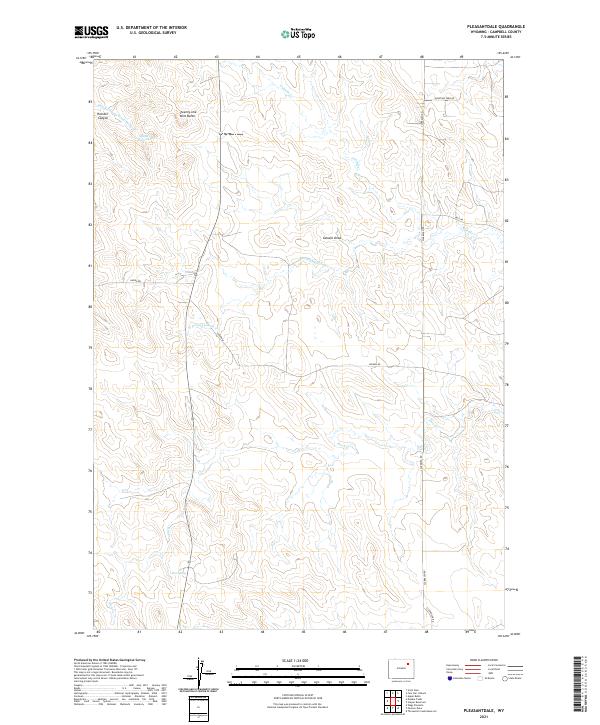 2021 Pleasantdale2021 Print · USGSHigh plains ranching country in Campbell County is mapped here during the early twenty-first century. Researchers can trace the vital water sources and landmarks of the region, from Twenty-one Mile Butte to the secluded Hoe Spring.
 - 2021 Map of Lone Tree Creek, 2021 Print
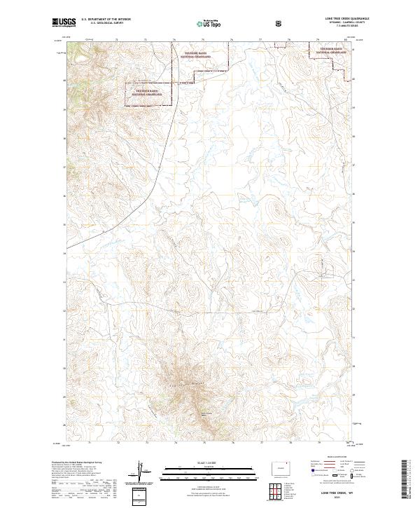 2021 Lone Tree Creek2021 Print · USGSThe high plains of Campbell County are captured here during the early twenty-first century, showing a landscape of public lands and water management. You can trace seasonal watercourses like the Little Powder River or locate remote landmarks such as Cow Creek Wall and Davis Reservoir.
 - 2021 Map of Green Hill, 2021 Print
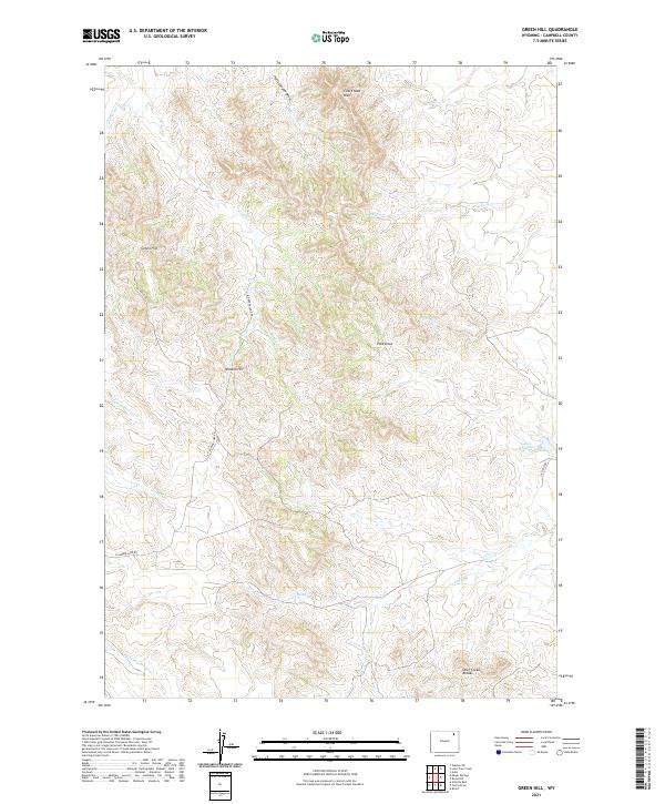 2021 Green Hill2021 Print · USGSCampbell County ranch lands and energy corridors are mapped here in the early twenty-first century. Researchers can trace the drainage patterns of the Little Powder River and locate remote landmarks like Cow Creek Wall, Allee Reservoir, and Green Hill.
Showing maps 1-25 of 135
Top cities of Campbell County
- Gillette historical maps
- Wright historical maps
- Sleepy Hollow historical maps
- Rozet historical maps
- Recluse historical maps
Frequently asked questions
- What are the different types of historical maps available for Campbell County?
- What is the oldest map of Campbell County?
- Where can I purchase historical maps of Campbell County for my home or office?
- Where can I download high-res historical maps of Campbell County?
- Are there historical topographic maps available for Campbell County?
- Is there historical aerial imagery available for Campbell County?
- Where are historical maps of Campbell County sourced from?