2010s Maps of Campbell County, Wyoming
Explore 379 historic maps of Campbell County from the 2010s. These maps offer a rare glimpse into what life looked like during the 2010s — showing old roads, neighborhoods, homes, and landmarks that have changed or disappeared over time.
Whether you're researching your family's past, planning a metal detecting trip, or studying how Campbell County's landscape evolved across the 2010s, these high-resolution maps are a powerful tool for exploring the history of this region.
- Focus on a specific era: All maps on this page are from the 2010s, giving you a focused view of this time period.
- See what’s changed: Compare century-old streets, trails, and buildings to today's modern landscape using overlays and satellite layers.
- Research with precision: Use these maps for genealogy, historical research, land use analysis, or educational projects.
- View, download, or print: Maps are fully viewable online in high resolution, and can be downloaded or printed for your own records.
Start exploring Campbell County's history through authentic maps from the 2010s. This is your window into the past.
Campbell County, WY maps
(379)- 2011 Map of Moorhead, 2011 Print
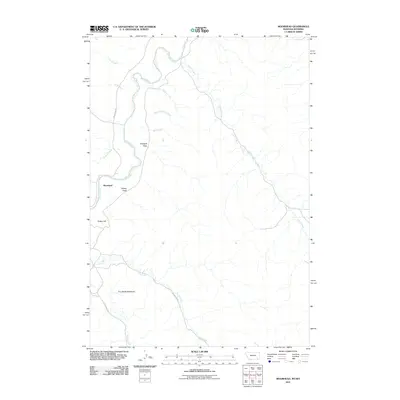 2011 Moorhead2011 Print · USGSThe Powder River valley at Moorhead is captured here during the early twenty-first century, showing the intersection of Montana and Wyoming ranchlands. Local researchers can trace family-named landmarks like Kelsey Hill, The Devils Backbone, and the course of Buffalo Creek.
 - 2011 Map of Bradshaw Creek, 2011 Print
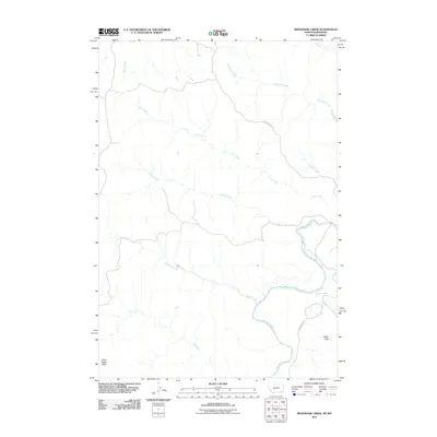 2011 Bradshaw Creek2011 Print · USGSThe high plains of Campbell County are shown here in the early twenty-first century, dominated by the winding path of the Powder River. Researchers can trace old rural routes like Moorhead Rd and locate landmarks such as Black Eagle Butte.
 - 2011 Map of Wild Bill Creek, 2011 Print
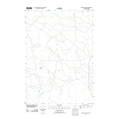 2011 Wild Bill Creek2011 Print · USGSCampbell County at the turn of the decade remains a landscape of high plains drainage and rural ranch roads. Researchers can trace the water-management history and geography of the area through Bowers Number 1 Dam, Coal Gulch, and Wild Bill Creek.
 - 2011 Map of Belle Creek SW, 2011 Print
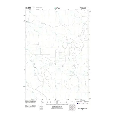 2011 Belle Creek SW2011 Print · USGSRanching life on the Montana-Wyoming border is captured here in the early twenty-first century, showing a landscape shaped by water and wide-open spaces. Genealogists and local historians can locate family-named sites like the Ranch Creek Cemetery, the Morris Ranch Airport, and the R Garst Number 1 Dam.
 - 2011 Map of Bay Horse, 2011 Print
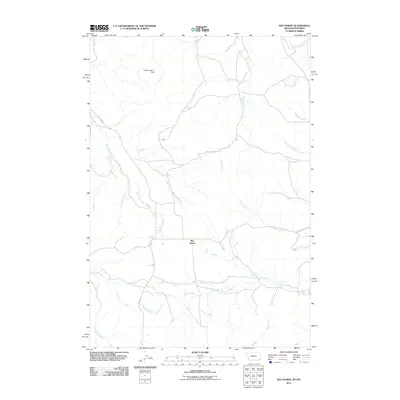 2011 Bay Horse2011 Print · USGSThe Montana-Wyoming borderlands are captured here in the early twenty-first century, showcasing a remote landscape of winding creek beds and ranch roads. Researchers can trace the drainage of Bay Horse Creek and locate landmarks like Bay Horse and the Traubnumber 3 Dam.
 - 2011 Map of Three Bar Ranch, 2011 Print
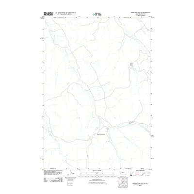 2011 Three Bar Ranch2011 Print · USGSCampbell County ranching country is documented here in the early twenty-first century as it appeared before major modern shifts. Researchers can trace land management through water features like Portwine Number 1 Dam and the eponymous Three Bar Ranch.
 - 2011 Map of Biddle, 2011 Print
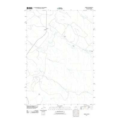 2011 Biddle2011 Print · USGSSoutheastern Montana's ranching country appears in high detail during the early twenty-first century, centered on the small community of Biddle. Researchers can trace local water infrastructure and landmarks like the Kendricknumber 1 Dam, Rambo Gulch, and the Biddle Vol Fire Dept.
 - 2011 Map of Black Draw, 2011 Print
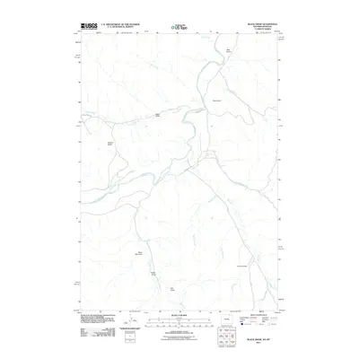 2011 Black Draw2011 Print · USGSThe Powder River Basin at the Wyoming-Montana border is captured here in the early 2000s, showing a landscape shaped by remote ranching routes and water management. Researchers can trace the path of Powder River past local landmarks like Warren Dam, Watson Basin, and Bear Gulch.
 - 2011 Map of Rockypoint, 2011 Print
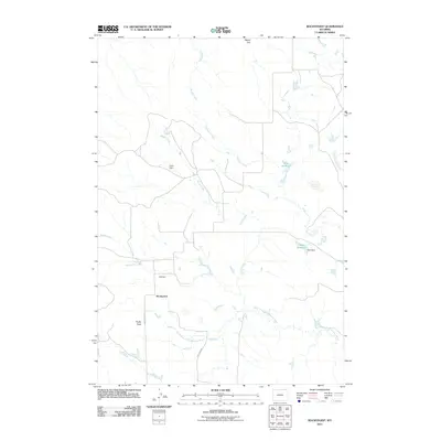 2011 Rockypoint2011 Print · USGSThe ranching country of northeast Wyoming comes into focus here during the early twenty-first century. Researchers can trace the water-management history of the high plains through features like Parks Dam, Hill Dam, and Scott Reservoir.
 - 2011 Map of Homestead Draw, 2011 Print
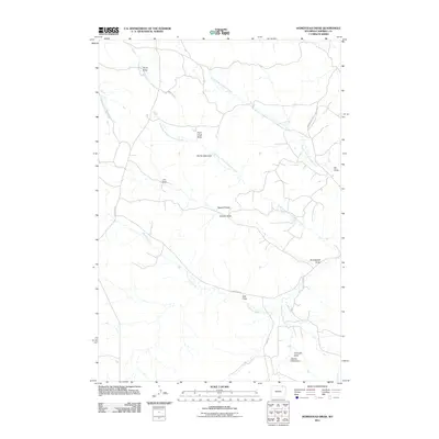 2011 Homestead Draw2011 Print · USGSCampbell County ranching country is mapped here during the early twenty-first century, showing the intricate drainage patterns of the high plains. Researchers can trace the network of seasonal watercourses like Homestead Draw, Sawmill Draw, and Hart Draw.
 - 2011 Map of Dead Horse Lake, 2011 Print
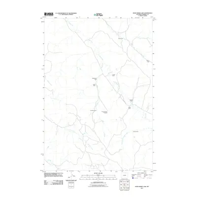 2011 Dead Horse Lake2011 Print · USGSCampbell County’s high plains and industrial history are laid bare in this early twenty-first-century survey of the Powder River Basin. Researchers can trace the ranching and mining landscape through landmarks like the Three Fork Canyon Area Number One Mine, Rattlesnake Draw, and Bitter Creek.
 - 2011 Map of Rocky Butte, 2011 Print
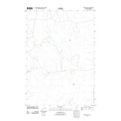 2011 Rocky Butte2011 Print · USGSCampbell County's energy and ranching landscape is captured here in the early 2000s, showing the intersection of industry and high plains terrain. Researchers can locate the Ute Oil Field and trace the paths of Olmstead Creek and Rock Creek.
 - 2011 Map of Mitten Butte, 2011 Print
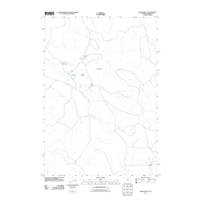 2011 Mitten Butte2011 Print · USGSCampbell County ranchlands and energy resources are captured here in the early twenty-first century. You can trace the cattle-country landscape from Trail Creek Ranch to the industrial activity at the Rockypoint Oil Field.
 - 2011 Map of Cabin Creek NE, 2011 Print
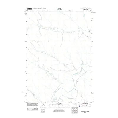 2011 Cabin Creek NE2011 Print · USGSThe Powder River basin at the turn of the decade reveals a landscape of energy extraction and high plains drainage. Researchers can trace the development of the Fence Creek Oil Field and geographic landmarks like Hells Half Acre Canyon and the Ford Number 1 Dam.
 - 2012 Map of Rough Creek, 2012 Print
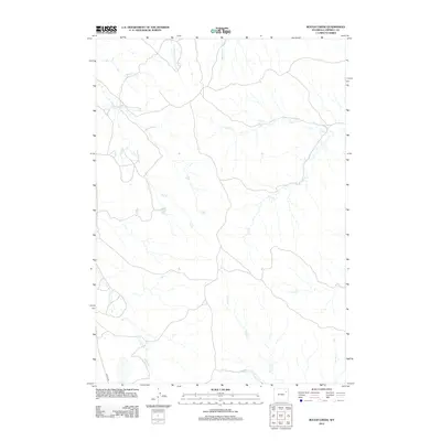 2012 Rough Creek2012 Print · USGSThe high plains of Campbell County come into focus during the early 2010s, showing a land of seasonal drainages and quiet ranch roads. Researchers can trace the winding paths of Dry Creek and Corral Creek or locate the remote crossing of Lawyer Rd.
 - 2012 Map of Jim Creek, 2012 Print
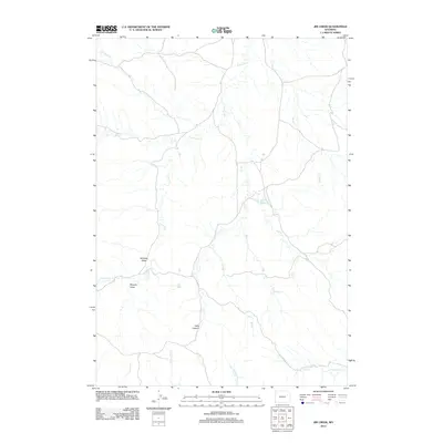 2012 Jim Creek2012 Print · USGSCampbell County ranchlands are detailed here in the early twenty-first century, showing a remote landscape of high-plains drainages. Researchers can trace land-use patterns through family-named landmarks like Williams Draw, Murphy Draw, and the waters of Harrel Reservoir.
 - 2012 Map of Eagle Rock, 2012 Print
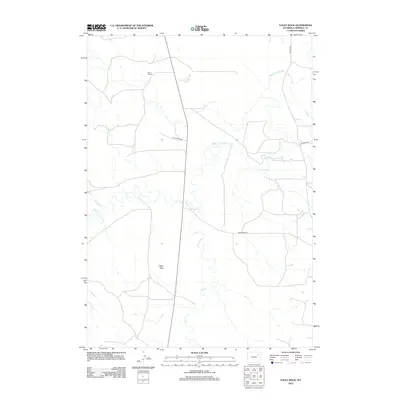 2012 Eagle Rock2012 Print · USGSCampbell County ranch land is captured here in the early twenty-first century, showing the intersection of high plains hydrology and rural industry. Genealogists and land historians can locate family landmarks like Osborn Ranch or trace the winding course of Hay Cr and the Belle Fourche River.
 - 2012 Map of Fats Draw, 2012 Print
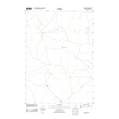 2012 Fats Draw2012 Print · USGSCampbell County ranching country is mapped here in the early twenty-first century, showing the remote homesteads and drainage basins of the high plains. Researchers can locate family-named landmarks like the Saunders Ranch or trace the path of the Black and Yellow Rd.
 - 2012 Map of Artesian Draw, 2012 Print
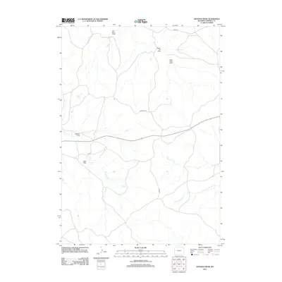 2012 Artesian Draw2012 Print · USGSCampbell County ranch land and historic transit corridors are mapped in the early twenty-first century. Researchers can trace the path of the Bozeman Trl and locate vital water sources like Emigrant Spring, Von Burg Spring, and Artesian Draw.
 - 2012 Map of Greasewood Reservoir, 2012 Print
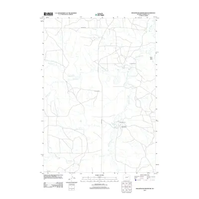 2012 Greasewood Reservoir2012 Print · USGSCampbell County ranching country is documented here in the early 2010s, showing the intersection of waterway systems and large land holdings. Researchers can locate family operations like Marquiss Ranch and trace the paths of Greasewood Cr and the Belle Fourche River.
 - 2012 Map of Rocky Butte Gulch, 2012 Print
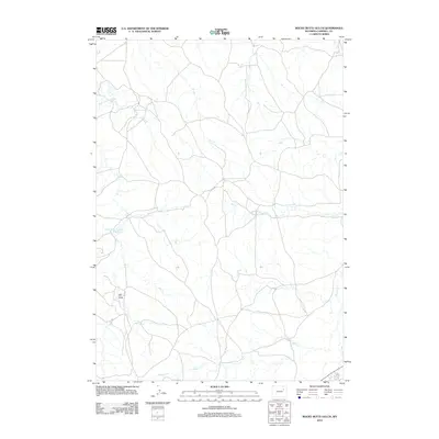 2012 Rocky Butte Gulch2012 Print · USGSCampbell County ranching country is documented here in the early twenty-first century, showing the essential water and road networks. Genealogists and land researchers can trace family-named watercourses like Billie Cr, Hay Cr, and the Belle Fourche River.
 - 2012 Map of Rolling Pin Ranch, 2012 Print
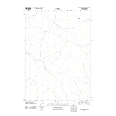 2012 Rolling Pin Ranch2012 Print · USGSCampbell County ranching lands are captured here in the early twenty-first century, showcasing the isolated homesteads of the Powder River Basin. Genealogists and local historians can trace the footprints of Rolling Pin Ranch and Pumpkin Butte Ranch near the landmark of North Middle Butte.
 - 2012 Map of Wags Pinnacle, 2012 Print
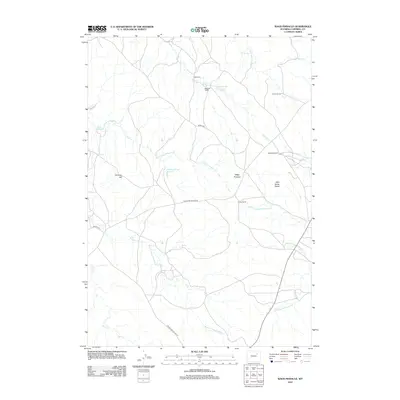 2012 Wags Pinnacle2012 Print · USGSHigh plains ranching and water management define this Wyoming landscape in the early twenty-first century. Genealogists and researchers can trace local landholdings like Auld Ranch and Jordan Ranch or locate landmarks such as Wags Pinnacle and Chimney Hill.
 - 2012 Map of Piney Canyon NW, 2012 Print
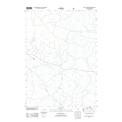 2012 Piney Canyon NW2012 Print · USGSCampbell County ranching and energy lands are captured here in the early 2000s, showing a landscape shaped by remote watersheds and early transport routes. Researchers can trace the drainages of Little Thunder Cr and locate named water sources like H A Spring and M W Spring.
 - 2012 Map of Piney Canyon SW, 2012 Print
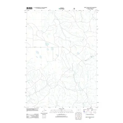 2012 Piney Canyon SW2012 Print · USGSCampbell County’s ranching heartland is documented here in the early twenty-first century, showing a landscape defined by vital water sources and remote roads. You can trace the path of Mackey Rd and locate historically significant water points like Hansen Spring and Red Spring.
Showing maps 1-25 of 379
Top cities of Campbell County
- Gillette historical maps
- Wright historical maps
- Sleepy Hollow historical maps
- Rozet historical maps
- Recluse historical maps
Frequently asked questions
- What are the different types of historical maps available for Campbell County?
- What is the oldest map of Campbell County?
- Where can I purchase historical maps of Campbell County for my home or office?
- Where can I download high-res historical maps of Campbell County?
- Are there historical topographic maps available for Campbell County?
- Is there historical aerial imagery available for Campbell County?
- Where are historical maps of Campbell County sourced from?