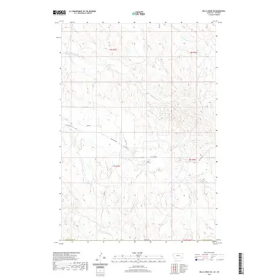
2020 Map of Belle Creek SW
USGS Topo · Published 2020About this map
Ranch Creek Cem stands as a central landmark in this remote corner of Campbell County, Wyoming, just south of the Montana border. The 2020 landscape is defined by the drainage basins of several significant watercourses, including Ranch Cr, Wright Cr, and Prairie Dog Cr. Transportation through these high plains is limited to a sparse network of corridors such as State Hwy 544 and Ranch Creek Rd, which provide access to the expansive rangelands. The map illustrates a contemporary pattern of land division across several townships, including t9s r53e and t8s r53e, reflecting the enduring grid of the Public Land Survey System in the American West. This topography reveals the subtle shifts of the Powder River Co line and the intricate seasonal flow of Williams Cr and S Fork Wright Cr through the arid terrain.
Find a feature on this map
18 named features on this map. Tap any name to fly to it.
Don’t see what you’re looking for? This feature index may not catch every label — zoom into the map to look around manually.
Map Details
Editions of this 2020 Belle Creek SW Map
This is the sole edition of this map. No revisions or reprints were ever made.
Other maps of this area

1954 · Ekalaka
USGS Topo · 1:250,000

1954 · Gillette
USGS Topo · 1:250,000

1955 · Gillette
USGS Topo · 1:250,000

1956 · Ekalaka
USGS Topo · 1:250,000

1958 · Gillette
USGS Topo · 1:250,000

1958 · Ekalaka
USGS Topo · 1:250,000

1962 · Gillette
USGS Topo · 1:250,000

1965 · Ekalaka
USGS Topo · 1:250,000

1970 · Pine Creek
USGS Topo · 1:24,000

1970 · Sanburn Reservoir
USGS Topo · 1:24,000