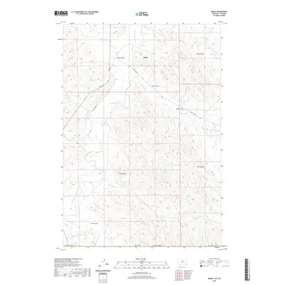
2020 Map of Biddle
USGS Topo · Published 2020About this map
Biddle serves as the primary focal point in this remote corner of Powder River Co, Montana, where the landscape is defined by the winding course of the Little Powder River. The hydrology of the region is complex, with numerous drainages like Prairie Dog Cr and Williams Cr carving through the terrain. The road network, including Rumph Rd, Raustadout Rd, and Ranch Creek Rd, provides essential access to the expansive ranchlands. Named features such as Wilson Gulch, Rambo Gulch, and Fuller Gulch suggest a history of local land usage and geographic identification by early settlers and ranchers. This 2020 update maintains the cadastral framework of townships like t8s r52e and t9s r52e, reflecting the enduring legal geography of the American West.
Find a feature on this map
27 named features on this map. Tap any name to fly to it.
Don’t see what you’re looking for? This feature index may not catch every label — zoom into the map to look around manually.
Map Details
Editions of this 2020 Biddle Map
This is the sole edition of this map. No revisions or reprints were ever made.
Other maps of this area

1954 · Ekalaka
USGS Topo · 1:250,000

1954 · Gillette
USGS Topo · 1:250,000

1955 · Gillette
USGS Topo · 1:250,000

1956 · Ekalaka
USGS Topo · 1:250,000

1958 · Gillette
USGS Topo · 1:250,000

1958 · Ekalaka
USGS Topo · 1:250,000

1962 · Gillette
USGS Topo · 1:250,000

1965 · Ekalaka
USGS Topo · 1:250,000

1970 · Pine Creek
USGS Topo · 1:24,000

1970 · Sanburn Reservoir
USGS Topo · 1:24,000