Old Maps of Afton, Wyoming for Academic Research
Study the evolution of Afton with 15 high-resolution historic maps. Whether you're teaching, researching, or modeling changes in land use, these maps provide essential visual documentation of urban, environmental, and geographic change.
- Analyze long-term change: Track patterns in development, transportation, and natural features.
- Ideal for environmental or urban studies: Support academic projects with primary historical map data.
- Use in the classroom or lab: Educators and researchers rely on these maps to bring historical context to life.
These maps are a powerful tool for teaching, research, and visualizing how Afton has changed over the decades.
Afton, WY maps
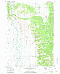
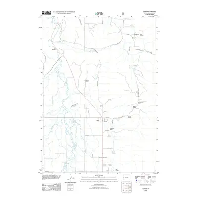
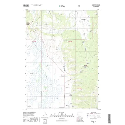
(15)- 1921 Map of Afton
 1921 Afton1921 Print · USGSStar Valley and the high Wyoming backcountry are captured here in the early twenties, showing the region's early ranching and forestry roots. Researchers can locate early schools like Muddy String School, isolated outposts like Moffat Ranch, and forest service sites including Corral Creek Ranger Sta.
 - 1955 Map of Preston, 1968 Print
 1955 Preston1968 Print · USGSSoutheast Idaho and western Wyoming are shown in detail during the mid-fifties, from the high Bear River Range to the Green River Basin. Genealogists and collectors can trace the Union Pacific RR through historic towns like Preston, Montpelier, and Afton.3 unique versions available
 - 1958 Map of Preston
 1958 Preston1958 Print · USGSThe high valleys of the Idaho and Wyoming borderlands are captured here in the late fifties, showcasing a landscape of mountain ranching and phosphate mining. Genealogists and historians can locate early settlements like Chesterfield and Bedford or trace the Union Pacific rail lines serving Cokeville.2 unique versions available
 - 1962 Map of Preston
 1962 Preston1962 Print · USGSSoutheast Idaho and the Wyoming borderlands are captured here in the early sixties, a time of thriving agricultural valleys and mountain ranching. Researchers can trace the Union Pacific rail lines and find legacy settlements like Montpelier, Afton, and Preston.
 - 1980 Map of Grover
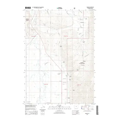
 1980 Grover1980 Print · USGSThe Star Valley settlement corridor is captured here in the 1980s, showcasing the intersection of pioneer history and modern ranching life. Genealogists can locate the Grover Cem and trace the historic path of the Lander Cutoff (Emigrant Trail) past Auburn and Turnerville.
 - 1980 Map of Afton, 1984 Print
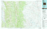
 1980 Afton1984 Print · USGSStar Valley ranching and early migration routes come together in this Wyoming survey from the early eighties. Researchers can trace the Emigrant Salt River Trail and Lander Cutoff near settlements like Afton and Fairview.
 - 1982 Map of Afton
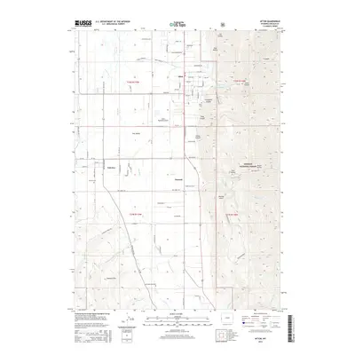
 1982 Afton1982 Print · USGSWestern Wyoming during the early eighties shows a landscape of mountain ranges and valley settlements. Genealogists can trace family names and small towns across Star Valley, while historians can locate the path of the Lander Cutoff and the Cottonwood Mine.
 - 2012 Map of Afton, 2012 Print
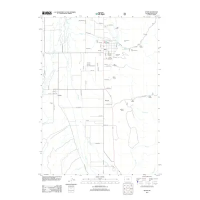 2012 Afton2012 Print · USGSCovers Afton, including Fairview, Fairview Landmark, and other nearby areas
 - 2012 Map of Grover, 2012 Print
 2012 Grover2012 Print · USGSCovers Afton, including Turnerville, Grover, and other nearby areas
 - 2015 Map of Grover, 2015 Print
 2015 Grover2015 Print · USGSCovers Afton, including Turnerville, Grover, and other nearby areas
 - 2015 Map of Afton, 2015 Print
 2015 Afton2015 Print · USGSCovers Afton, including Fairview, Fairview Landmark, and other nearby areas
 - 2017 Map of Afton, 2017 Print
 2017 Afton2017 Print · USGSCovers Afton, including Fairview, Fairview Landmark, and other nearby areas
 - 2017 Map of Grover, 2017 Print
 2017 Grover2017 Print · USGSCovers Afton, including Turnerville, Grover, and other nearby areas
 - 2021 Map of Afton, 2021 Print
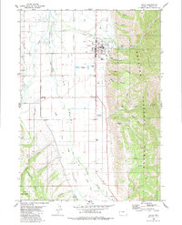
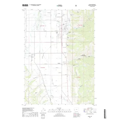
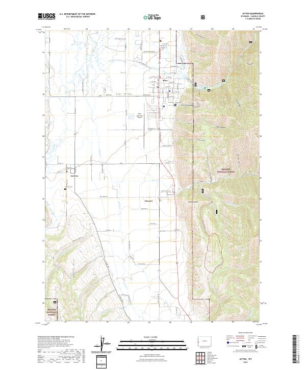 2021 Afton2021 Print · USGSThe Star Valley region of western Wyoming is captured here as a thriving ranching and mountain corridor in the 2020s. Researchers can trace family history through the Afton Cem and Fairview Cem or locate the municipal hub at Afton Municipal Airport.
 - 2021 Map of Grover, 2021 Print
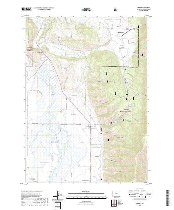 2021 Grover2021 Print · USGSStar Valley and the Salt River basin are documented here in the early 2020s, showing the settled ranching lands between national forests. Researchers can trace family sites at Turnerville Cem and Grover Cem or locate the Heiner Airport near Turnerville.
End of results
Showing maps 1-15 of 15
Top cities near Afton
Frequently asked questions
- What are the different types of historical maps available for Afton?
- What is the oldest map of Afton?
- Where can I purchase historical maps of Afton for my home or office?
- Where can I download high-res historical maps of Afton?
- Are there historical topographic maps available for Afton?
- Is there historical aerial imagery available for Afton?
- Where are historical maps of Afton sourced from?