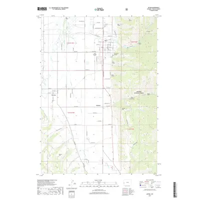
2017 Map of Afton
USGS Topo · Published 2017About this map
Star Valley dominates the western half of this Lincoln County survey, where the Salt River and its tributaries like Crow Cr and Spring Cr create a fertile corridor for Wyoming ranching and agriculture. The primary settlement of Afton is clearly defined by its residential grid, including streets like W 2nd Ave and E 5th Ave, and is supported by the nearby Afton Municipal Airport. Smaller rural communities including Fairview and Osmond anchor the agricultural flats to the south and west.
Find a feature on this map
90 named features on this map. Tap any name to fly to it.
Don’t see what you’re looking for? This feature index may not catch every label — zoom into the map to look around manually.
Map Details
Editions of this 2017 Afton Map
This is the sole edition of this map. No revisions or reprints were ever made.
Other maps of this area

1915 · Freedom
USGS Topo · 1:62,500

1915 · Crow Creek
USGS Topo · 1:62,500

1921 · Afton
USGS Topo · 1:125,000

1955 · Preston
USGS Topo · 1:250,000

1958 · Preston
USGS Topo · 1:250,000

1962 · Preston
USGS Topo · 1:250,000
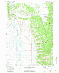
1980 · Grover
USGS Topo · 1:24,000
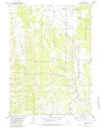
1980 · Smoot
USGS Topo · 1:24,000
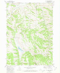
1980 · Elk Valley
USGS Topo · 1:24,000
1980 · Sage Valley
USGS Topo · 1:24,000