Old Maps of Lusk, Wyoming for Metal Detecting
Plan your next treasure hunt with 13 historic maps of Lusk. Find old homesites, ghost towns, trails, and gathering spots that may be lost to time — perfect for identifying promising metal detecting locations.
- Locate forgotten sites: Uncover places like long-lost settlements, abandoned rail lines, or gathering spots.
- Plan better hunts: Use map overlays combined with LiDAR or satellite views to narrow in on historically rich areas.
- Made for detectorists: Thousands of hobbyists use these maps to discover relics, coins, and hidden history.
Use these historic maps to boost your research and find new opportunities beneath the surface of Lusk.
Lusk, WY maps
(13)- 1954 Map of Torrington, 1963 Print
 1954 Torrington1963 Print · USGSEastern Wyoming and the Nebraska borderlands are captured here during the mid-fifties, showing a landscape shaped by the Platte River and the Laramie Range. Researchers can trace deep history at the Fort Laramie National Historical Site, the Old Doty Ranch Site, and along the Old Fetterman Road.4 unique versions available
 - 1958 Map of Torrington
 1958 Torrington1958 Print · USGSEastern Wyoming and the Nebraska borderlands are captured in the late fifties, showcasing a landscape of high plains ranching and river-fed industry. Trace the historic paths of the Union Pacific railroad and find legacy sites like Fort Laramie and Sunrise.
 - 1974 Map of Reynolds Spring, 1978 Print
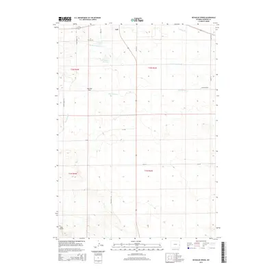
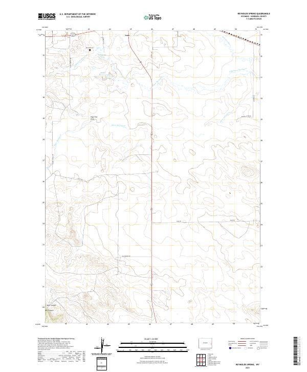
 1974 Reynolds Spring1978 Print · USGSNiobrara County’s high plains and river valleys are captured here in the mid-seventies, showing a landscape of ranching and resource extraction. Researchers can trace family history at Reynolds Cem or locate the old Drive-in Theater and Roadside Park along the rail lines.
 - 1981 Map of Lusk
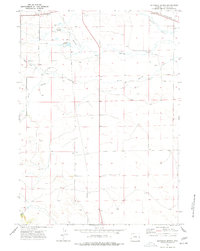
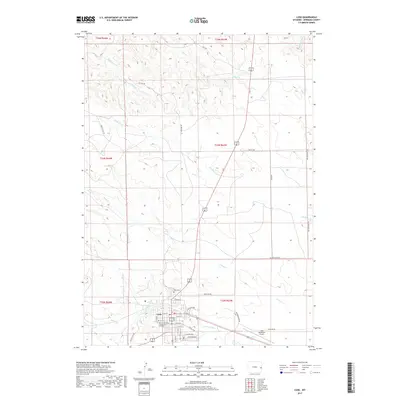
 1981 Lusk1981 Print · USGSThe high plains of Niobrara County come into focus during the early eighties, centered on the ranching and transit hub of Lusk. Researchers can trace town infrastructure from the High Sch and Hospital to the Chicago and North Western rail line and Hat Creek Breaks.
 - 1982 Map of Lusk, 1983 Print
 1982 Lusk1983 Print · USGSNiobrara County and the surrounding high plains are shown in the early eighties as the Chicago and North Western line linked remote cattle towns. Researchers can trace the path of the Niobrara River or locate community hubs like Node, Keeline, and Prairie Center.
 - 2012 Map of Lusk, 2012 Print
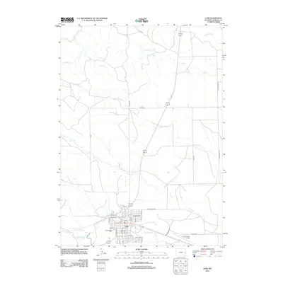 2012 Lusk2012 Print · USGSCovers Lusk, including Niobrara County, United States, and other nearby areas
 - 2012 Map of Reynolds Spring, 2012 Print
 2012 Reynolds Spring2012 Print · USGSCovers Lusk, including Niobrara County, United States, and other nearby areas
 - 2015 Map of Lusk, 2015 Print
 2015 Lusk2015 Print · USGSCovers Lusk, including Niobrara County, United States, and other nearby areas
 - 2015 Map of Reynolds Spring, 2015 Print
 2015 Reynolds Spring2015 Print · USGSCovers Lusk, including Niobrara County, United States, and other nearby areas
 - 2017 Map of Lusk, 2017 Print
 2017 Lusk2017 Print · USGSCovers Lusk, including Niobrara County, United States, and other nearby areas
 - 2018 Map of Reynolds Spring, 2018 Print
 2018 Reynolds Spring2018 Print · USGSCovers Lusk, including Niobrara County, United States, and other nearby areas
 - 2021 Map of Lusk, 2021 Print
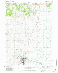
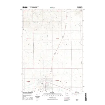
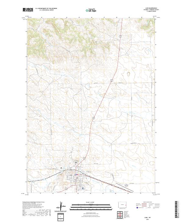 2021 Lusk2021 Print · USGSThe high plains of eastern Wyoming are captured here in the early twenty-first century, centered on the settlement of Lusk. Researchers can trace the town grid to the Niobrara County Courthouse or follow rural landmarks like Lusk Cem and the winding Niobrara River.
 - 2021 Map of Reynolds Spring, 2021 Print
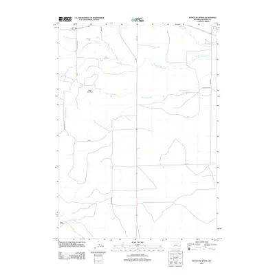
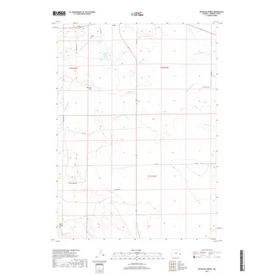
 2021 Reynolds Spring2021 Print · USGSNiobrara County ranch lands and high plains water sources are captured here in the early twenty-first century. Researchers can locate family landmarks like the Reynolds Cem and the Reynolds Spring or trace regional water rights at the Hoblit Reservoir.
End of results
Showing maps 1-13 of 13
Top cities near Lusk
Frequently asked questions
- What are the different types of historical maps available for Lusk?
- What is the oldest map of Lusk?
- Where can I purchase historical maps of Lusk for my home or office?
- Where can I download high-res historical maps of Lusk?
- Are there historical topographic maps available for Lusk?
- Is there historical aerial imagery available for Lusk?
- Where are historical maps of Lusk sourced from?