Old Maps of Superior, Wyoming for Hiking & Exploration
Hike through history with 10 historic maps of Superior. Explore old trails, ghost towns, and forgotten backroads — perfect for outdoor adventurers and local explorers.
- Rediscover forgotten places: Map out old mining camps, roads, and footpaths that no longer exist on modern maps.
- Layer with modern tools: Combine with LiDAR or satellite views to plan hikes through historical terrain.
- Made for exploration: Popular among hikers, overlanders, and local history lovers.
Use these maps to find adventure and explore the hidden past of Superior.
Superior, WY maps
(10)- 1954 Map of Rock Springs, 1969 Print
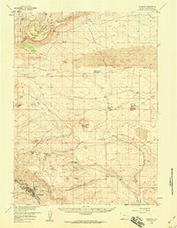
 1954 Rock Springs1969 Print · USGSSouthern Wyoming at the peak of the mid-century energy boom is defined by the vital rail corridor and the high desert of the Red Desert Basin. Trace the development of mining towns like Superior and Reliance alongside the Union Pacific RR and historical landmarks like Pilot Butte.2 unique versions available
 - 1958 Map of Rock Springs
 1958 Rock Springs1958 Print · USGSThe high desert of Sweetwater County comes into focus during the mid-1950s, centered on the rail-and-road corridor through Rock Springs. Genealogists and historians can trace family landholdings and infrastructure at Barnhart Ranch, Little America, and the Union Pacific line.2 unique versions available
 - 1958 Map of Superior, 1960 Print
 1958 Superior1960 Print · USGSThe high basins of Sweetwater County are seen here in the late fifties as coal mining and ranching shaped the desert landscape. Genealogists and historians can trace old homesteads like Chilton Ranch, the path of the Point of Rocks-South Pass Stage Route, and the industrial layout of Superior.3 unique versions available
 - 1962 Map of Rock Springs
 1962 Rock Springs1962 Print · USGSThe high desert of Sweetwater County in the early 1960s reveals a rugged ranching and energy landscape centered on Rock Springs. Genealogists can trace family holdings like the Erikson-Kent Ranch and Barnhart Ranch alongside the Union Pacific line.
 - 1980 Map of Red Desert Basin
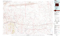 1980 Red Desert Basin1980 Print · USGSSweetwater County's high desert is captured here in the late twentieth century, centered on the historic transportation corridor through the Red Desert Basin. Genealogists and historians can trace rail-town lineage through Point of Rocks, Bitter Creek, and the mining community of Superior.
 - 1986 Map of South Superior
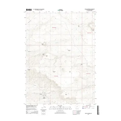
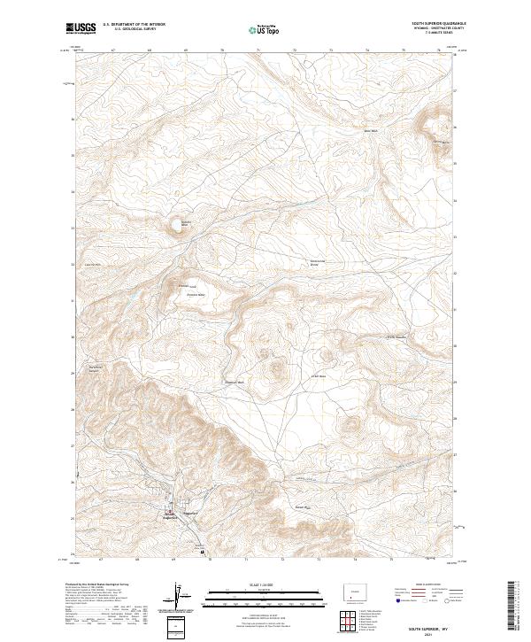
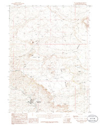 1986 South Superior1986 Print · USGSSouth Superior and the high-desert mesas of Sweetwater County are captured in the mid-eighties as the area balanced mineral prospecting with its ranching heritage. Researchers can trace the Continental Divide past Zirkel Mesa and locate the town of South Superior near Horsethief Canyon.
 - 2012 Map of South Superior, 2012 Print
 2012 South Superior2012 Print · USGSCovers Superior, including Sweetwater County, United States, and other nearby areas
 - 2015 Map of South Superior, 2015 Print
 2015 South Superior2015 Print · USGSCovers Superior, including Sweetwater County, United States, and other nearby areas
 - 2017 Map of South Superior, 2017 Print
 2017 South Superior2017 Print · USGSCovers Superior, including Sweetwater County, United States, and other nearby areas
 - 2021 Map of South Superior, 2021 Print
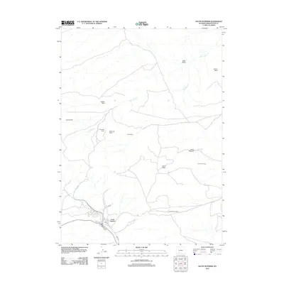
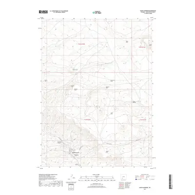
 2021 South Superior2021 Print · USGSThe mining settlements of Superior and South Superior are shown at the foot of the Continental Divide in this modern survey. Researchers can locate Mountain View Cem and trace old routes through Horsethief Canyon and across Zirkel Mesa.
End of results
Showing maps 1-10 of 10
Top cities near Superior
Frequently asked questions
- What are the different types of historical maps available for Superior?
- What is the oldest map of Superior?
- Where can I purchase historical maps of Superior for my home or office?
- Where can I download high-res historical maps of Superior?
- Are there historical topographic maps available for Superior?
- Is there historical aerial imagery available for Superior?
- Where are historical maps of Superior sourced from?