2020s Maps of Teton County, Wyoming
Explore 120 historic maps of Teton County from the 2020s. These maps offer a rare glimpse into what life looked like during the 2020s — showing old roads, neighborhoods, homes, and landmarks that have changed or disappeared over time.
Whether you're researching your family's past, planning a metal detecting trip, or studying how Teton County's landscape evolved across the 2020s, these high-resolution maps are a powerful tool for exploring the history of this region.
- Focus on a specific era: All maps on this page are from the 2020s, giving you a focused view of this time period.
- See what’s changed: Compare century-old streets, trails, and buildings to today's modern landscape using overlays and satellite layers.
- Research with precision: Use these maps for genealogy, historical research, land use analysis, or educational projects.
- View, download, or print: Maps are fully viewable online in high resolution, and can be downloaded or printed for your own records.
Start exploring Teton County's history through authentic maps from the 2020s. This is your window into the past.
Teton County, WY maps
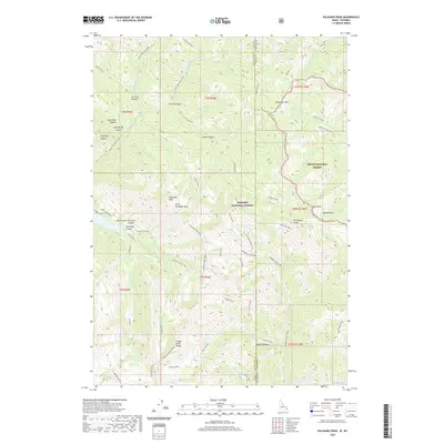
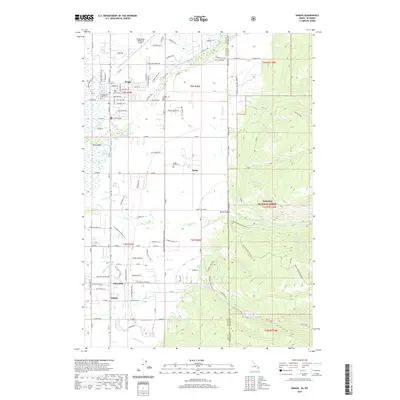
(120)- 2020 Map of Buffalo Lake, 2020 Print
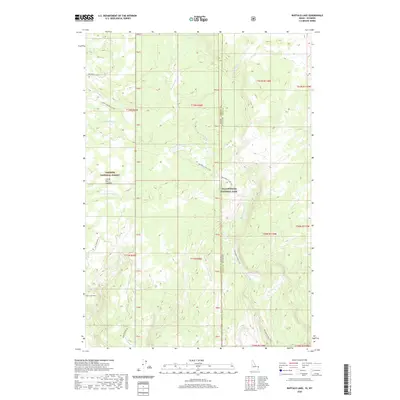 2020 Buffalo Lake2020 Print · USGSCovers Teton County, including Fremont County, United States, and other nearby areas
 - 2020 Map of Sheep Falls, 2020 Print
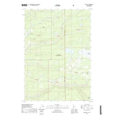 2020 Sheep Falls2020 Print · USGSCovers Teton County, including Fremont County, United States, and other nearby areas
 - 2020 Map of Buffalo Lake NE, 2020 Print
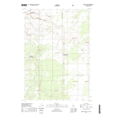 2020 Buffalo Lake NE2020 Print · USGSCovers Teton County, including Gallatin County, Fremont County, and other nearby areas
 - 2020 Map of Mount Baird, 2020 Print
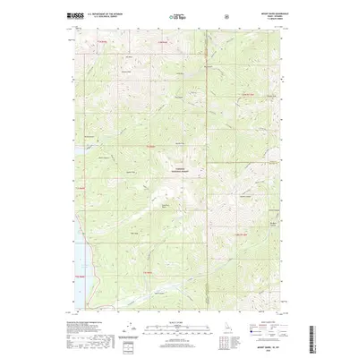 2020 Mount Baird2020 Print · USGSCovers Teton County, including Bonneville County, Lincoln County, and other nearby areas
 - 2020 Map of McRenolds Reservoir, 2020 Print
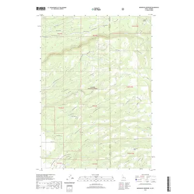 2020 McRenolds Reservoir2020 Print · USGSCovers Teton County, including Fremont County, United States, and other nearby areas
 - 2020 Map of Clawson, 2020 Print
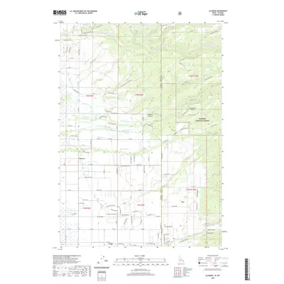 2020 Clawson2020 Print · USGSCovers Teton County, including Driggs, Alta, and other nearby areas
 - 2020 Map of Palisades Peak, 2020 Print
 2020 Palisades Peak2020 Print · USGSCovers Teton County, including Bonneville County, United States, and other nearby areas
 - 2020 Map of Victor, 2020 Print
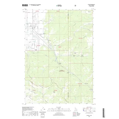 2020 Victor2020 Print · USGSCovers Teton County, including Victor, Bonneville County, and other nearby areas
 - 2020 Map of Driggs, 2020 Print
 2020 Driggs2020 Print · USGSCovers Teton County, including Driggs, United States, and other nearby areas
 - 2020 Map of Jack Straw Basin, 2020 Print
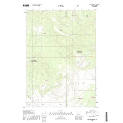 2020 Jack Straw Basin2020 Print · USGSCovers Teton County, including Gallatin County, United States, and other nearby areas
 - 2020 Map of West Yellowstone, 2020 Print
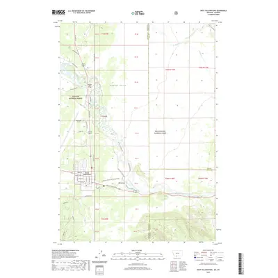 2020 West Yellowstone2020 Print · USGSCovers Teton County, including West Yellowstone, Gallatin County, and other nearby areas
 - 2021 Map of Bechler Falls, 2021 Print
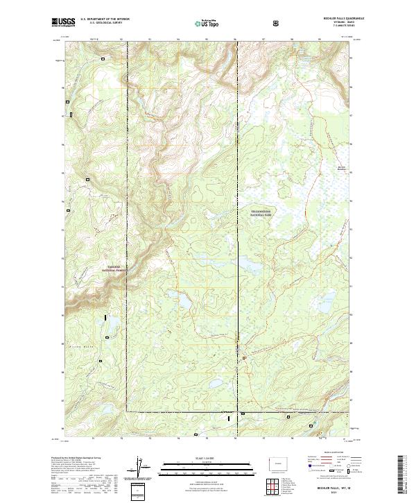 2021 Bechler Falls2021 Print · USGSThe Yellowstone backcountry meets the Targhee National Forest in this modern survey of the Wyoming-Idaho borderlands. Trace high-altitude water routes and backcountry trails to Bechler Falls, the Boundary Creek-Hot Springs, and Cave Falls.
 - 2021 Map of Moose, 2021 Print
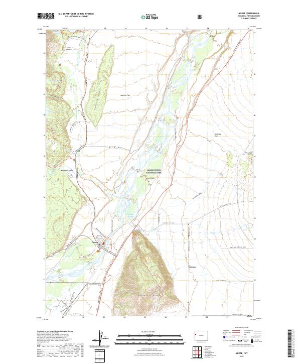 2021 Moose2021 Print · USGSThe Teton valley landscape comes into focus here during the early twenty-first century, showcasing the intersection of park management and pioneer legacy. Researchers can trace historic access routes like Menors Ferry Road and find the rural community of Grovont.
 - 2021 Map of Lava Mountain, 2021 Print
 2021 Lava Mountain2021 Print · USGSCovers Teton County, including Fremont County, United States, and other nearby areas
 - 2021 Map of Granite Falls, 2021 Print
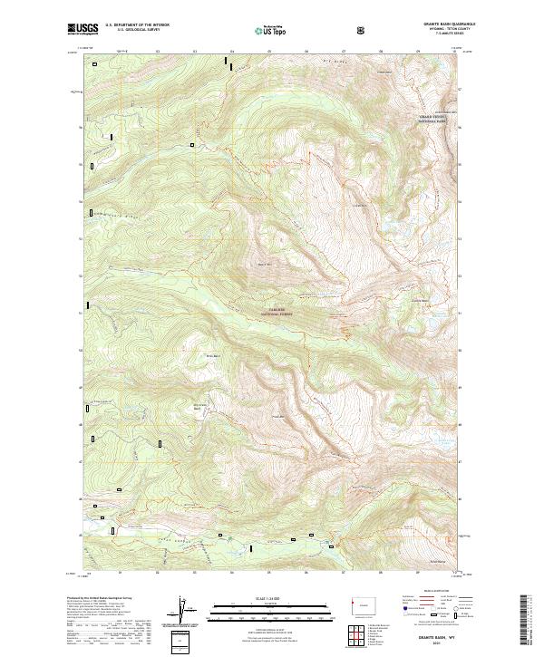
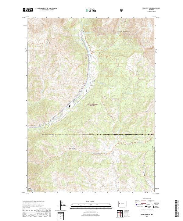 2021 Granite Falls2021 Print · USGSThe Teton and Sublette county line runs through this high-elevation wilderness in the early twenty-first century. Outdoor researchers can trace the routes of the Granite Highline Trl and find the secluded Granite Falls Hot Springs along Granite Creek.
 - 2021 Map of Jenny Lake, 2021 Print
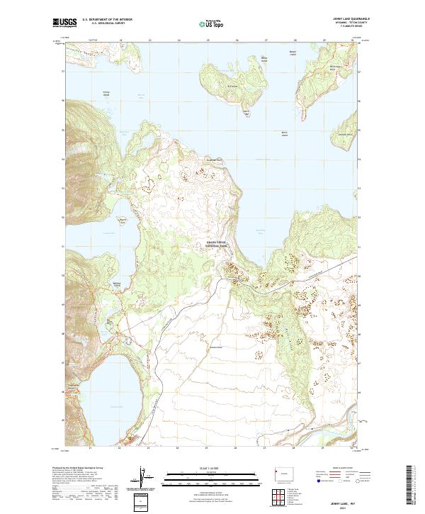 2021 Jenny Lake2021 Print · USGSGrand Teton National Park is mapped here in the early twenty-first century, showing the intricate trail and water systems of the Teton Range. Trace backcountry routes like the Paintbrush Canyon Trl or find landmarks such as Inspiration Point and Elk Island.
 - 2021 Map of Shadow Mountain, 2021 Print
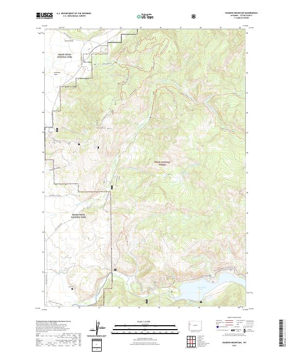 2021 Shadow Mountain2021 Print · USGSThe interface of wilderness and high-plains ranching is captured here during the early twenty-first century. Researchers can locate family landmarks like Kelly Cem or trace the intricate waterways of Ditch Cr and the Lower Slide Lake shoreline.
 - 2021 Map of Clause Peak, 2021 Print
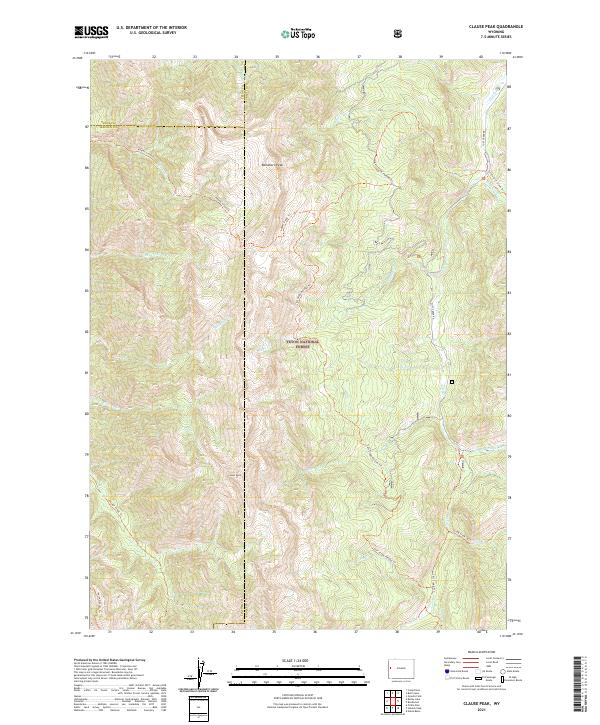 2021 Clause Peak2021 Print · USGSThe high Wyoming backcountry of the forest is captured here in the early twenty-first century, showing the junction of three counties. Hikers and historians can trace old routes like Horse Heaven Trail and find the source of Cliff Creek near Clause Peak.
 - 2021 Map of Camp Davis, 2021 Print
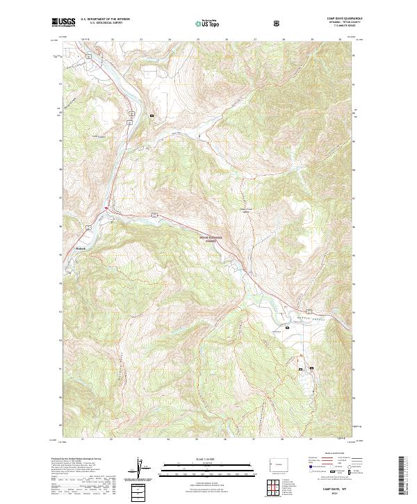 2021 Camp Davis2021 Print · USGSThe river junction at Hoback and the surrounding mountain trails were well established by the early 2020s. Researchers can trace the path of Old Yellowstone Rd and locate landmarks like Bryan Flat and Stinking Springs.
 - 2021 Map of Munger Mountain, 2021 Print
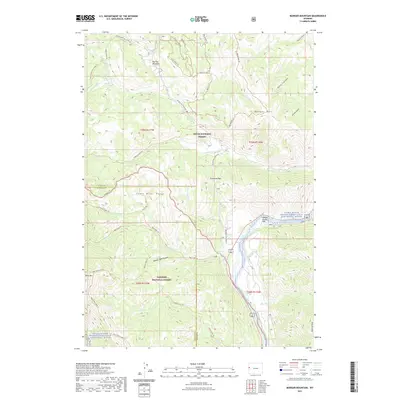 2021 Munger Mountain2021 Print · USGSCovers Teton County, including Hoback, Lincoln County, and other nearby areas
 - 2021 Map of Granite Basin, 2021 Print
 2021 Granite Basin2021 Print · USGSThe western slopes of the Teton Range are documented here in the early twenty-first century, showing the intersection of park and forest lands. Hikers and researchers can trace backcountry routes like the Teton Crest North Trl to remote spots such as Treasure Lake and Granite Basin.
 - 2021 Map of Angle Mountain, 2021 Print
 2021 Angle Mountain2021 Print · USGSCovers Teton County, including United States, Wyoming, and other nearby areas
 - 2021 Map of Bailey Lake, 2021 Print
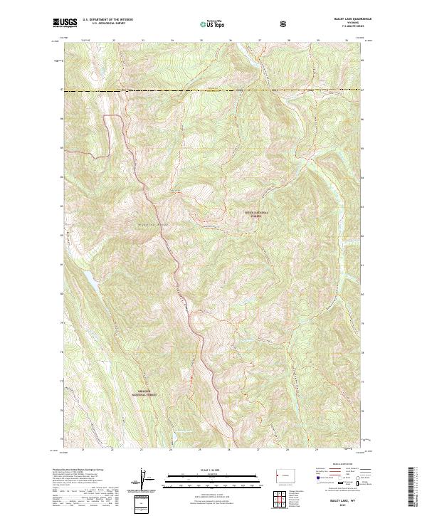 2021 Bailey Lake2021 Print · USGSThe high country of the Wyoming Range comes into focus in this recent survey of the Lincoln and Teton county line. Outdoor historians and researchers can trace the intricate paths of the Wyoming Range National Recreation Trl, Pow Wow Point, and Waterdog Lake.
 - 2021 Map of Tripod Peak, 2021 Print
 2021 Tripod Peak2021 Print · USGSCovers Teton County, including United States, Wyoming, and other nearby areas
 - 2021 Map of Mount Leidy, 2021 Print
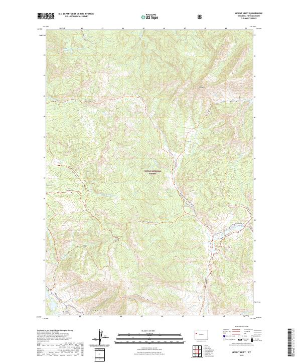 2021 Mount Leidy2021 Print · USGSTeton County's high-elevation forest and river headwaters are captured here in the early 2020s. Researchers can trace the path of Gros Ventre Rd or locate remote backcountry features like Mt Leidy and Toppings Lakes.
Showing maps 1-25 of 120
Top cities of Teton County
Frequently asked questions
- What are the different types of historical maps available for Teton County?
- What is the oldest map of Teton County?
- Where can I purchase historical maps of Teton County for my home or office?
- Where can I download high-res historical maps of Teton County?
- Are there historical topographic maps available for Teton County?
- Is there historical aerial imagery available for Teton County?
- Where are historical maps of Teton County sourced from?