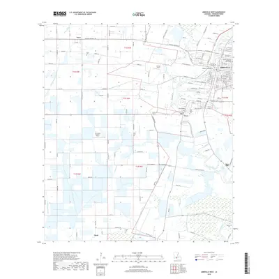
2018 Map of Abbeville West
USGS Topo · Published 2018About this map
The Vermilion River snakes through the eastern half of this Vermilion Parish landscape, serving as the historical and geographic anchor for settlements like Abbeville, Perry, and Rose Hill. The complex drainage network of the Acadiana region is visible through numerous named waterways such as Youngs South Coulee and Coulee Kinney, alongside an engineered system of irrigation and transit including the Abbeville Canal and Le Boeuf Canal.
Find a feature on this map
151 named features on this map. Tap any name to fly to it.
Don’t see what you’re looking for? This feature index may not catch every label — zoom into the map to look around manually.
Map Details
Editions of this 2018 Abbeville West Map
This is the sole edition of this map. No revisions or reprints were ever made.
Other maps of this area

1932 · Abbeville SW
USGS Topo · 1:31,680

1932 · Abbeville SE
USGS Topo · 1:31,680

1932 · Abbeville NE
USGS Topo · 1:31,680

1932 · Abbeville NW
USGS Topo · 1:31,680

1946 · Milton
USGS Topo · 1:31,680

1946 · Schooner Bayou SE
USGS Topo · 1:31,680

1946 · Leroy
USGS Topo · 1:31,680

1946 · Schooner Bayou NE
USGS Topo · 1:31,680

1946 · Kaplan
USGS Topo · 1:31,680

1952 · Lake Charles
USGS Topo · 1:250,000