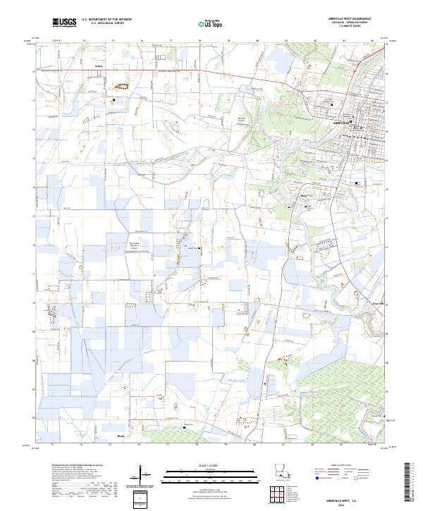
2024 Map of Abbeville West
USGS Topo · Published 2024About this map
The Vermilion Parish Courthouse anchors the western side of the parish seat, where the urban grid of Abbeville meets a landscape defined by an extensive system of agricultural drainage and navigation. The Vermilion River snakes through the eastern portion of the sheet, joined by smaller waterways like Youngs South Coulee and Coulee Kinney. This area is a patchwork of rural settlements and family-named landmarks, including Nunez, Perry, and Theall, which are linked by a network of state highways and local roads like LA Highway 695.
Find a feature on this map
153 named features on this map. Tap any name to fly to it.
Don’t see what you’re looking for? This feature index may not catch every label — zoom into the map to look around manually.
Map Details
Editions of this 2024 Abbeville West Map
This is the sole edition of this map. No revisions or reprints were ever made.
Other maps of this area

1932 · Abbeville SW
USGS Topo · 1:31,680

1932 · Abbeville SE
USGS Topo · 1:31,680

1932 · Abbeville NE
USGS Topo · 1:31,680

1932 · Abbeville NW
USGS Topo · 1:31,680

1946 · Milton
USGS Topo · 1:31,680

1946 · Schooner Bayou SE
USGS Topo · 1:31,680

1946 · Leroy
USGS Topo · 1:31,680

1946 · Schooner Bayou NE
USGS Topo · 1:31,680

1946 · Kaplan
USGS Topo · 1:31,680

1952 · Lake Charles
USGS Topo · 1:250,000