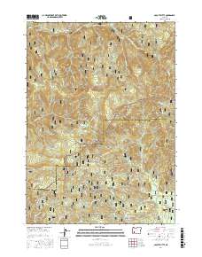
2017 Map of Abbott Butte
USGS Topo · Published 2017About this map
Abbott Butte stands as a prominent landmark at the intersection of the Umpqua National Forest and Rogue River National Forest in this 2017 study. The landscape is defined by its high-altitude summits and specialized meadow systems, such as Woodruff Meadow and the Donegan Prairies. The drainage network is complex, with McCall Creek and Deadhorse Creek feeding into the larger river systems that define the region's hydrology.
Find a feature on this map
63 named features on this map. Tap any name to fly to it.
Don’t see what you’re looking for? This feature index may not catch every label — zoom into the map to look around manually.
Map Details
Editions of this 2017 Abbott Butte Map
This is the sole edition of this map. No revisions or reprints were ever made.
Other maps of this area

1891 · Ashland
USGS Topo · 1:250,000

1893 · Ashland
USGS Topo · 1:250,000

1897 · Ashland
USGS Topo · 1:250,000

1917 · Diamond Lake
USGS Topo · 1:125,000

1944 · Abbott Butte
USGS Topo · 1:62,500

1947 · Abbott Butte
USGS Topo · 1:62,500

1955 · Quartz Mtn
USGS Topo · 1:62,500

1955 · Medford
USGS Topo · 1:250,000

1956 · Garwood Butte
USGS Topo · 1:62,500

1956 · Prospect
USGS Topo · 1:62,500