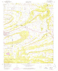
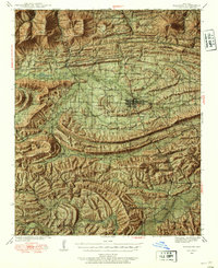
1948 Map of Abbott
USGS Topo · Published 1979About this map
Abbott and Mansfield anchor this 1948 landscape where the borders of Sebastian, Logan, and Scott counties converge. The terrain is defined by a series of prominent ridges, including Blackjack Ridge and Gibson Ridge, which channel numerous waterways like Petit Jean Creek and Kings Creek. The rural social fabric of the era is clearly visible through a network of country institutions such as the Crossroads School and Pleasant Grove Church.
Find a feature on this map
42 named features on this map. Tap any name to fly to it.
Don’t see what you’re looking for? This feature index may not catch every label — zoom into the map to look around manually.
Map Details
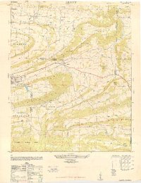
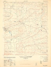
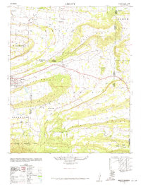
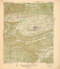
Editions of this 1948 Abbott Map
4 editions found
Other maps of this area

1879 · Poteau Mountain
USGS Topo · 1:62,500

1887 · Poteau Mountain #1
USGS Topo · 1:62,500

1887 · Poteau Mountain #2
USGS Topo · 1:62,500

1887 · Greenwood
USGS Topo · 1:62,500

1890 · Fort Smith
USGS Topo · 1:125,000

1890 · Poteau Mountain
USGS Topo · 1:125,000

1899 · Poteau Mountain
USGS Topo · 1:125,000

1906 · Barber
USGS Topo · 1:62,500
1939 · Waldron
USGS Topo · 1:62,500
1940 · Waldron
USGS Topo · 1:62,500