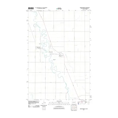
2011 Map of Abercrombie
USGS Topo · Published 2011About this map
Red River of the North snakes through this borderland landscape, defining the winding boundary between North Dakota and Minnesota. The river's dense oxbows and meanders dominate the geography, flanked by the smaller currents of Whisky Creek and the Wild Rice River. Settled life centers on the village of Abercrombie, where Main St and Broadway form the local core. Across the river in Minnesota, the small settlement of McCauleyville and the town of Kent provide a window into the rural community structure of the early 21st century. Genealogists will find particular value in the clearly marked Saint Thomas Cemetery and McCauleyville Cemetery, while the presence of the Kent Post Office highlights the area's continued role as a local service hub for the surrounding agricultural plains.
Find a feature on this map
32 named features on this map. Tap any name to fly to it.
Don’t see what you’re looking for? This feature index may not catch every label — zoom into the map to look around manually.
Map Details
Editions of this 2011 Abercrombie Map
This is the sole edition of this map. No revisions or reprints were ever made.
Other maps of this area

1895 · Fargo
USGS Topo · 1:125,000

1897 · Fargo
USGS Topo · 1:125,000

1904 · Wahpeton
USGS Topo · 1:125,000

1953 · Fargo
USGS Topo · 1:250,000

1956 · Fargo
USGS Topo · 1:250,000

1959 · Christine
USGS Topo · 1:24,000

1960 · Galchutt
USGS Topo · 1:24,000

1960 · Mooreton East
USGS Topo · 1:24,000

1964 · Dwight
USGS Topo · 1:24,000

1964 · Wahpeton
USGS Topo · 1:24,000