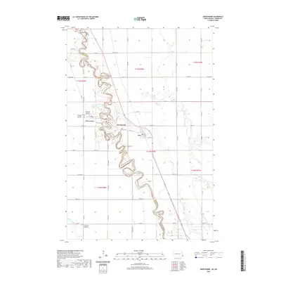
2020 Map of Abercrombie
USGS Topo · Published 2020About this map
Red River of the North winds in sharp, serpentine meanders along the border of North Dakota and Minnesota, defining the geography of this fertile valley. On the western bank, Abercrombie serves as a primary local center, while the historic Fort Abercrombie Post Cem stands as a reminder of the area’s nineteenth-century military frontier past. The landscape is heavily shaped by water and drainage, with the Wild Rice River entering from the southwest and smaller coulees like Nyquist Coulee feeding into the main channel.
Find a feature on this map
45 named features on this map. Tap any name to fly to it.
Don’t see what you’re looking for? This feature index may not catch every label — zoom into the map to look around manually.
Map Details
Editions of this 2020 Abercrombie Map
This is the sole edition of this map. No revisions or reprints were ever made.
Other maps of this area

1895 · Fargo
USGS Topo · 1:125,000

1897 · Fargo
USGS Topo · 1:125,000

1904 · Wahpeton
USGS Topo · 1:125,000

1953 · Fargo
USGS Topo · 1:250,000

1956 · Fargo
USGS Topo · 1:250,000

1959 · Christine
USGS Topo · 1:24,000

1960 · Galchutt
USGS Topo · 1:24,000

1960 · Mooreton East
USGS Topo · 1:24,000

1964 · Dwight
USGS Topo · 1:24,000

1964 · Wahpeton
USGS Topo · 1:24,000