2024 Map of Abercrombie
USGS Topo · Published 2024About this map
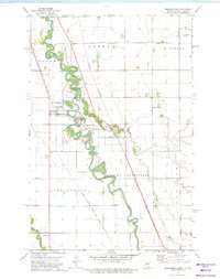
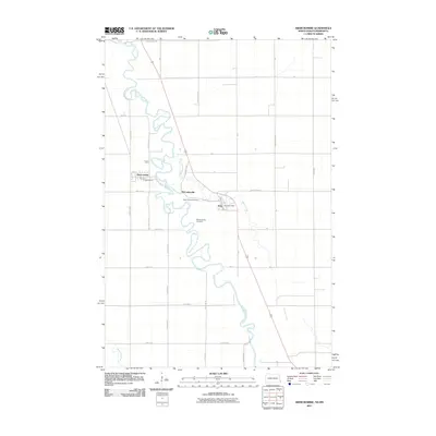
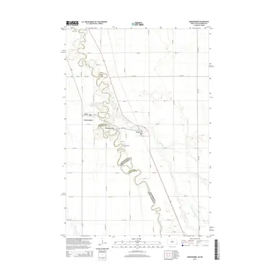
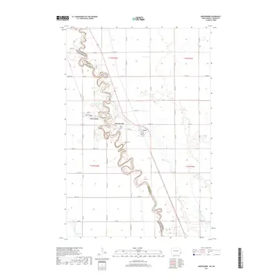
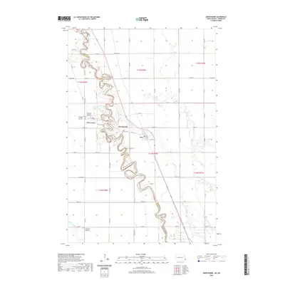
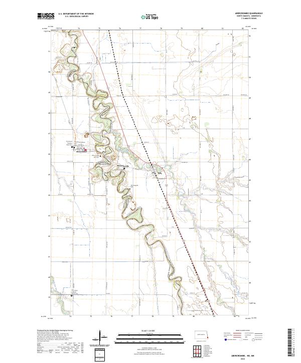
Red River of the North winds through a complex borderland on this survey, creating a serpentine boundary between North Dakota and Minnesota. This geography is anchored by Abercrombie and the landmark Fort Abercrombie, while smaller settlements like McCauleyville and Kent occupy the eastern banks. The map is a significant resource for genealogists, as it documents numerous burial grounds including Abercrombie Post Cem, Saint Thomas Cem, and the dual Emmanuel Lutheran West Cem and Emmanuel Lutheran East Cem. The landscape is further defined by the drainage of Whisky Creek and Nyquist Coulee into the river valley, while the southern portion features Saint Johns Lutheran Church Cem near the banks of the Wild Rice River.
Find a feature on this map
75 named features on this map. Tap any name to fly to it.
Don’t see what you’re looking for? This feature index may not catch every label — zoom into the map to look around manually.
Map Details
Editions of this 2024 Abercrombie Map
This is the sole edition of this map. No revisions or reprints were ever made.
Historical Maps of Abercrombie Through Time
6 maps found